MyTopo
Cap Rock Butte Montana US Topo Map
Couldn't load pickup availability
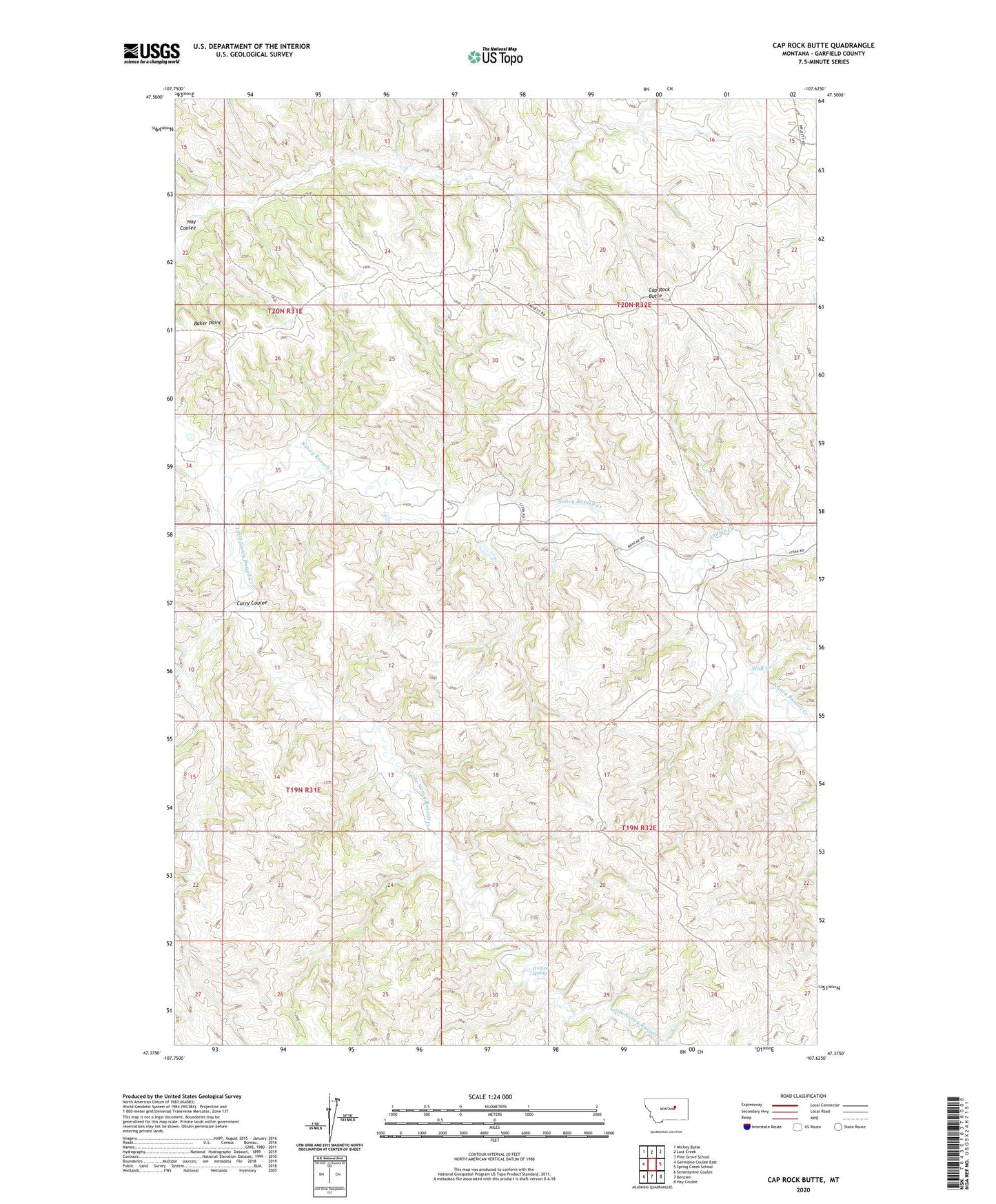
2024 topographic map quadrangle Cap Rock Butte in the state of Montana. Scale: 1:24000. Based on the newly updated USGS 7.5' US Topo map series, this map is in the following counties: Garfield. The map contains contour data, water features, and other items you are used to seeing on USGS maps, but also has updated roads and other features. This is the next generation of topographic maps. Printed on high-quality waterproof paper with UV fade-resistant inks.
Quads adjacent to this one:
West: Germaine Coulee East
Northwest: Mickey Butte
North: Lost Creek
Northeast: Pine Grove School
East: Spring Creek School
Southeast: Hay Coulee
South: Benzien
Southwest: Seventynine Coulee
This map covers the same area as the classic USGS quad with code o47107d6.
Contains the following named places: 20N31E23BABC01 Well, 20N31E23BBAD01 Well, 20N31E23BD__01 Well, Baker Point, Cap Rock Butte, Curry Coulee, H Cross Spring, Indian Creek, Little Nancy Russell Creek, Shawver Number 1 Dam, Uebra Post Office, Wolf Creek