MyTopo
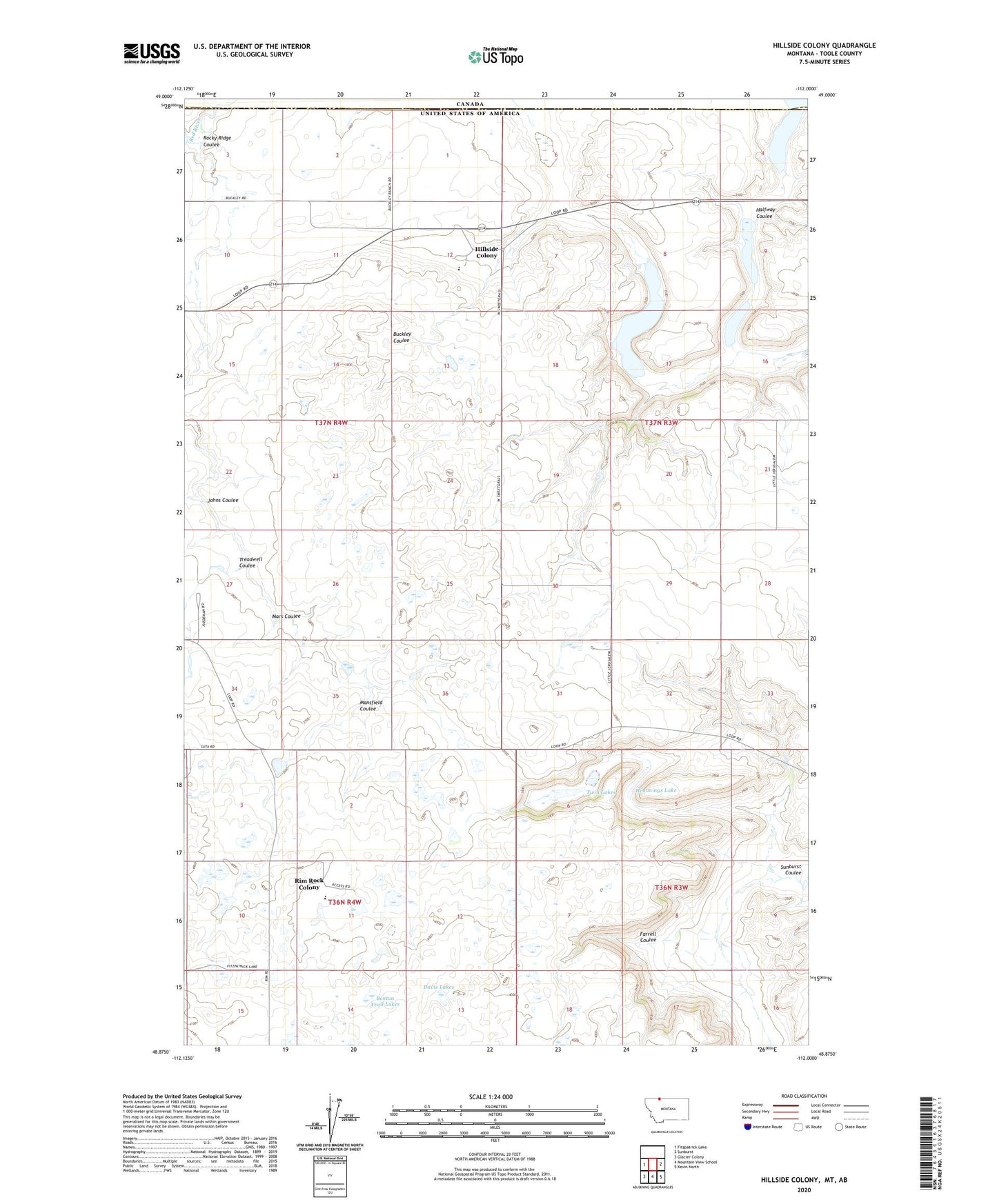
Hillside Colony Montana US Topo Map
Couldn't load pickup availability
2024 topographic map quadrangle Hillside Colony in the state of Montana. Scale: 1:24000. Based on the newly updated USGS 7.5' US Topo map series, this map is in the following counties: Toole. The map contains contour data, water features, and other items you are used to seeing on USGS maps, but also has updated roads and other features. This is the next generation of topographic maps. Printed on high-quality waterproof paper with UV fade-resistant inks.
Quads adjacent to this one:
West: Fitzpatrick Lake
East: Sunburst
Southeast: Kevin North
South: Mountain View School
Southwest: Glacier Colony
This map covers the same area as the classic USGS quad with code o48112h1.
Contains the following named places: 36N03W06BA__01 Well, 36N03W18AB__01 Well, 36N04W11BB__01 Well, 36N04W11DD__01 Well, 36N04W14AA__01 Well, 36N04W14AB__01 Well, 36N04W14AB__02 Well, 36N04W14AC__01 Well, 36N04W14AD__01 Well, 36N04W15AC__01 Well, 37N03W07BA__01 Well, 37N03W17DB__01 Well, 37N03W21ACB_01 Well, 37N03W21BD__01 Well, 37N03W21BD__02 Well, 37N03W21DB__01 Well, 37N03W30ACC_01 Well, 37N03W31AA__01 Well, 37N03W32DD__01 Well, 37N03W33BC__01 Well, 37N04W01CB__01 Well, 37N04W01CB__02 Well, 37N04W01DB__01 Well, 37N04W02DD__01 Well, 37N04W02DD__02 Well, 37N04W02DDC_01 Well, 37N04W12BA__01 Well, 37N04W12DB__01 Well, 37N04W12DB__02 Well, 37N04W15BC__01 Well, 37N04W25CC__01 Well, 37N04W27CB__01 Well, 37N04W27CB__02 Well, 37N04W34DD__01 Well, Brady Lakes Dam, Davis Lakes, Eyraud Lakes, Farrell Coulee, GJP Suta Dam, Grassy Lake, Halfway Coulee, Hemmings Lake, Hillkleberry Coulee Dam, Hillside Colony, Hillside Colony Census Designated Place, Hillside Colony Dam, Hillside Colony School, Johns Coulee, KYYC-FM (Shelby), Looney Tuney Dam, Mansfield Coulee, Mars Coulee, Miss Easy Pride Dam, Rim Rock Colony, Rimrock Colony Census Designated Place, Rimrock Colony School, Rocky Ridge Coulee, Treadwell Coulee, Twin Lakes, VRimrock Colony Census Designated Place


