MyTopo
Hole-in-the-Rock Montana US Topo Map
Couldn't load pickup availability
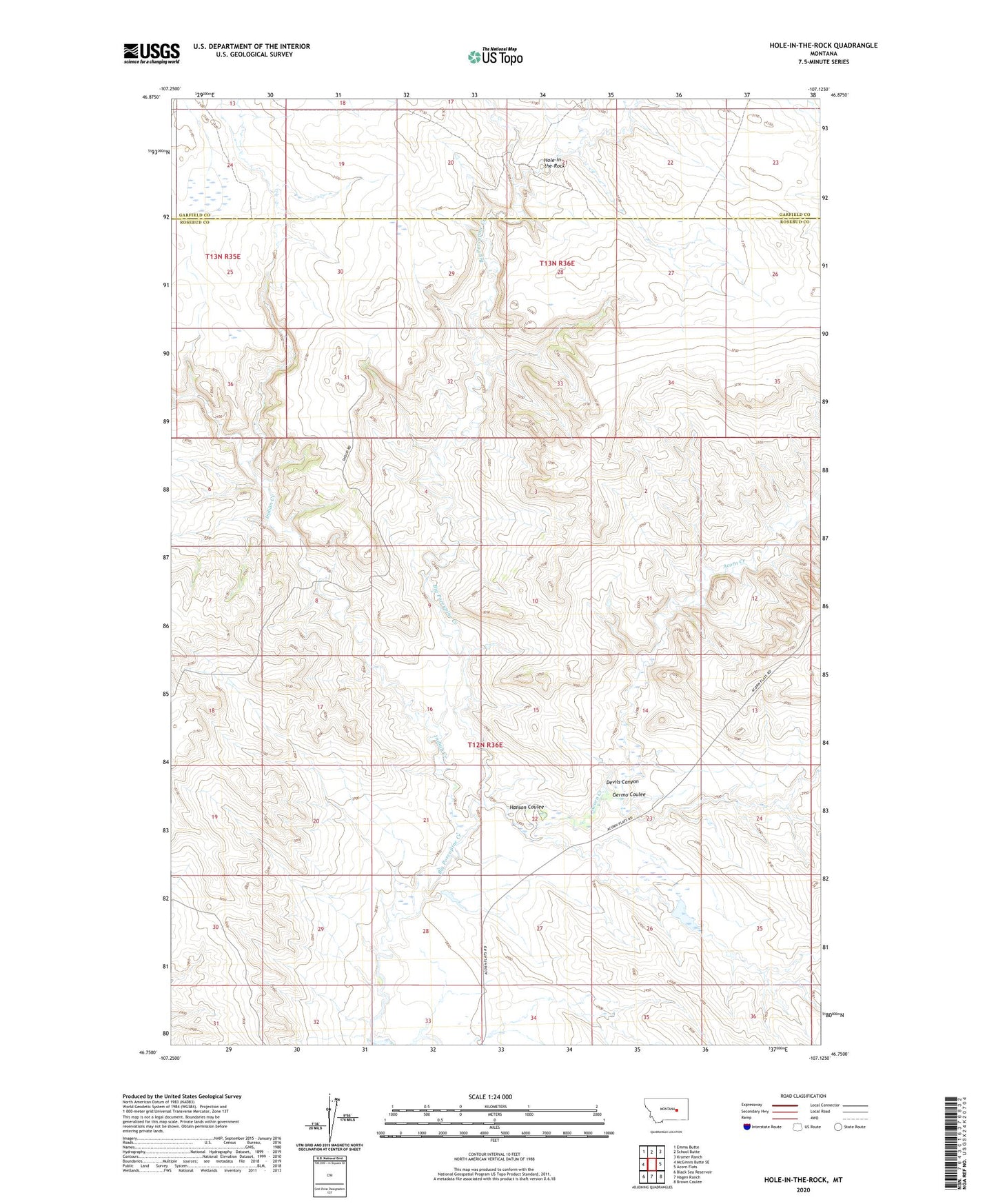
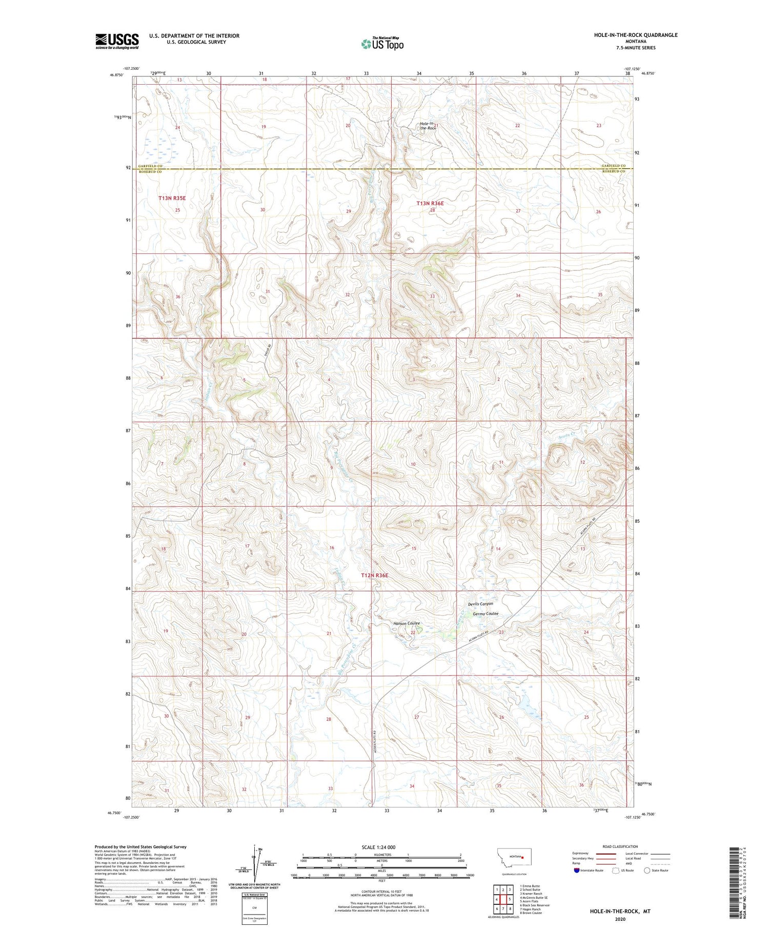
2020 topographic map quadrangle Hole-in-the-Rock in the state of Montana. Scale: 1:24000. Based on the newly updated USGS 7.5' US Topo map series, this map is in the following counties: Rosebud, Garfield. The map contains contour data, water features, and other items you are used to seeing on USGS maps, but also has updated roads and other features. This is the next generation of topographic maps. Printed on high-quality waterproof paper with UV fade-resistant inks.
Quads adjacent to this one:
West: McGinnis Butte SE
Northwest: Emma Butte
North: School Butte
Northeast: Kramer Ranch
East: Acorn Flats
Southeast: Brown Coulee
South: Hagen Ranch
Southwest: Black Sea Reservoir
Contains the following named places: 12N36E27BB__01 Well, Acorn Creek, Devils Canyon, Germo Coulee, Hanson Coulee, Hathaway School, Hole-in-the-Rock, Hunt Number 7 Dam, Indian Creek, Schlesinger Number 1 Dam