MyTopo
Black Sea Reservoir Montana US Topo Map
Couldn't load pickup availability
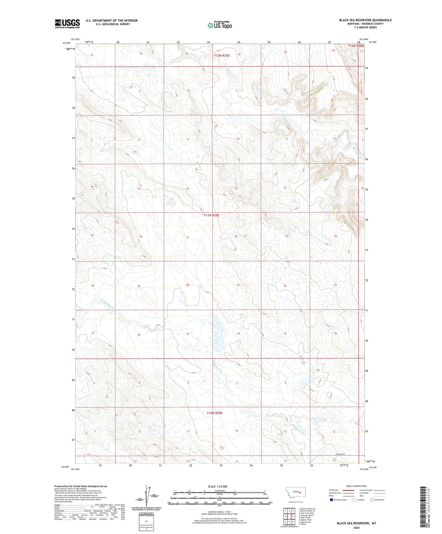
2024 topographic map quadrangle Black Sea Reservoir in the state of Montana. Scale: 1:24000. Based on the newly updated USGS 7.5' US Topo map series, this map is in the following counties: Rosebud. The map contains contour data, water features, and other items you are used to seeing on USGS maps, but also has updated roads and other features. This is the next generation of topographic maps. Printed on high-quality waterproof paper with UV fade-resistant inks.
Quads adjacent to this one:
West: Yablonski Ranch
Northwest: McGinnis Butte SW
North: McGinnis Butte SE
Northeast: Hole-in-the-Rock
East: Hagen Ranch
Southeast: Thebes
South: Ingomar East
Southwest: Ingomar West
This map covers the same area as the classic USGS quad with code o46107f3.
Contains the following named places: Big Timber Number 10 Dam, Big Timber Number 13 Dam, Big Timber Number 14 Dam, Big Timber Number 15 Dam, Big Timber Number 16 Dam, Big Timber Number 17 Dam, Big Timber Number 8 Dam, Black Sea Reservoir, Black Sea Reservoir Dam, Fairview School, Galt Number 22 Dam, L Galt Number 20 Dam, ZIP Code: 59039