MyTopo
Ingals Dam Montana US Topo Map
Couldn't load pickup availability
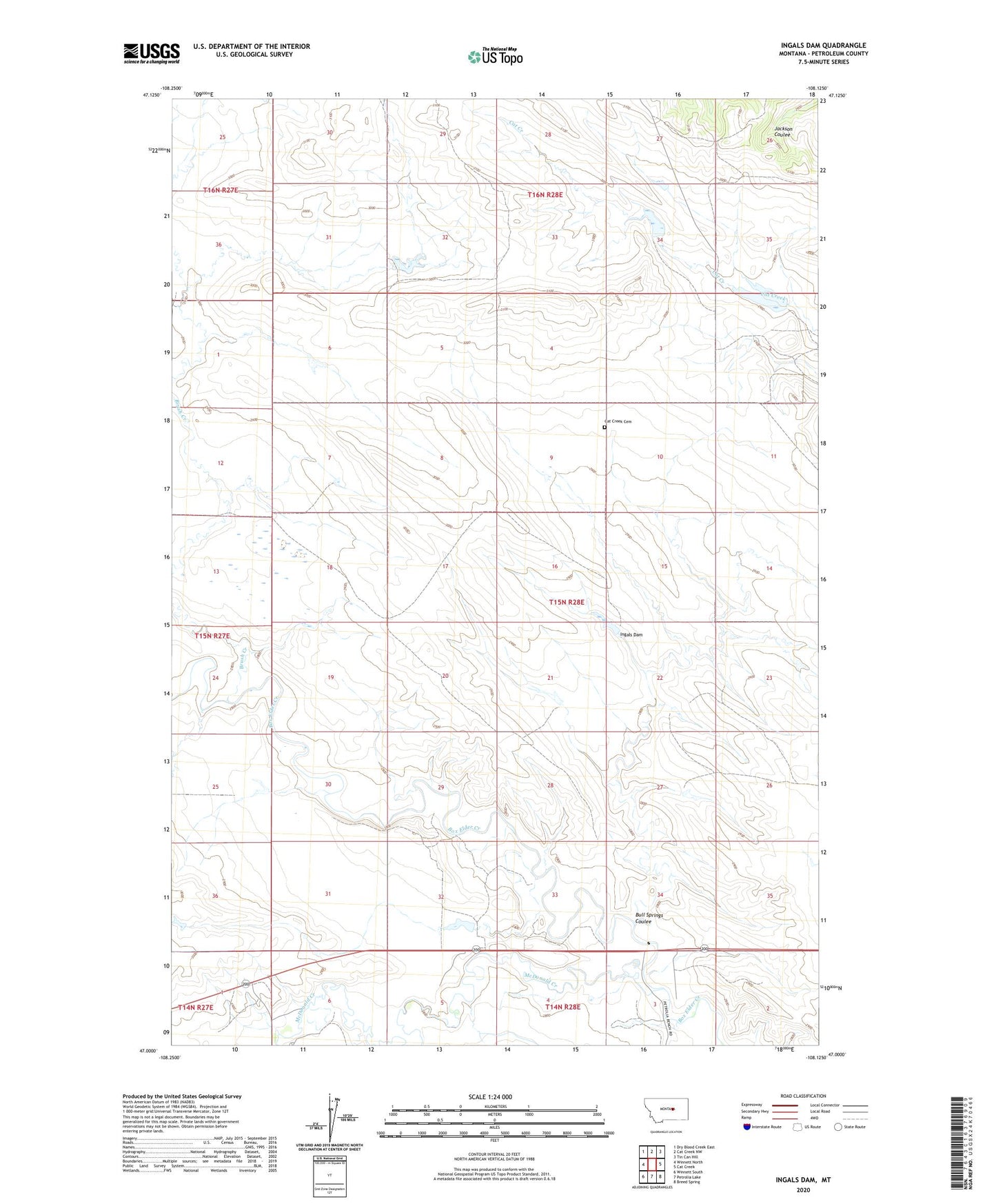
2024 topographic map quadrangle Ingals Dam in the state of Montana. Scale: 1:24000. Based on the newly updated USGS 7.5' US Topo map series, this map is in the following counties: Petroleum. The map contains contour data, water features, and other items you are used to seeing on USGS maps, but also has updated roads and other features. This is the next generation of topographic maps. Printed on high-quality waterproof paper with UV fade-resistant inks.
Quads adjacent to this one:
West: Winnett North
Northwest: Dry Blood Creek East
North: Cat Creek NW
Northeast: Tin Can Hill
East: Cat Creek
Southeast: Breed Spring
South: Petrolia Lake
Southwest: Winnett South
This map covers the same area as the classic USGS quad with code o47108a2.
Contains the following named places: Brush Creek, Bull Springs Coulee, Cat Creek Cemetery, Hoyle, Hoyle Post Office, Ingals Dam, Manuel Number 1 Dam, Manuel Number 2 Dam, McDonald Creek, Morningstar School, Sandman Number 1 Dam, Shay, Shay School