MyTopo
Cat Creek Montana US Topo Map
Couldn't load pickup availability
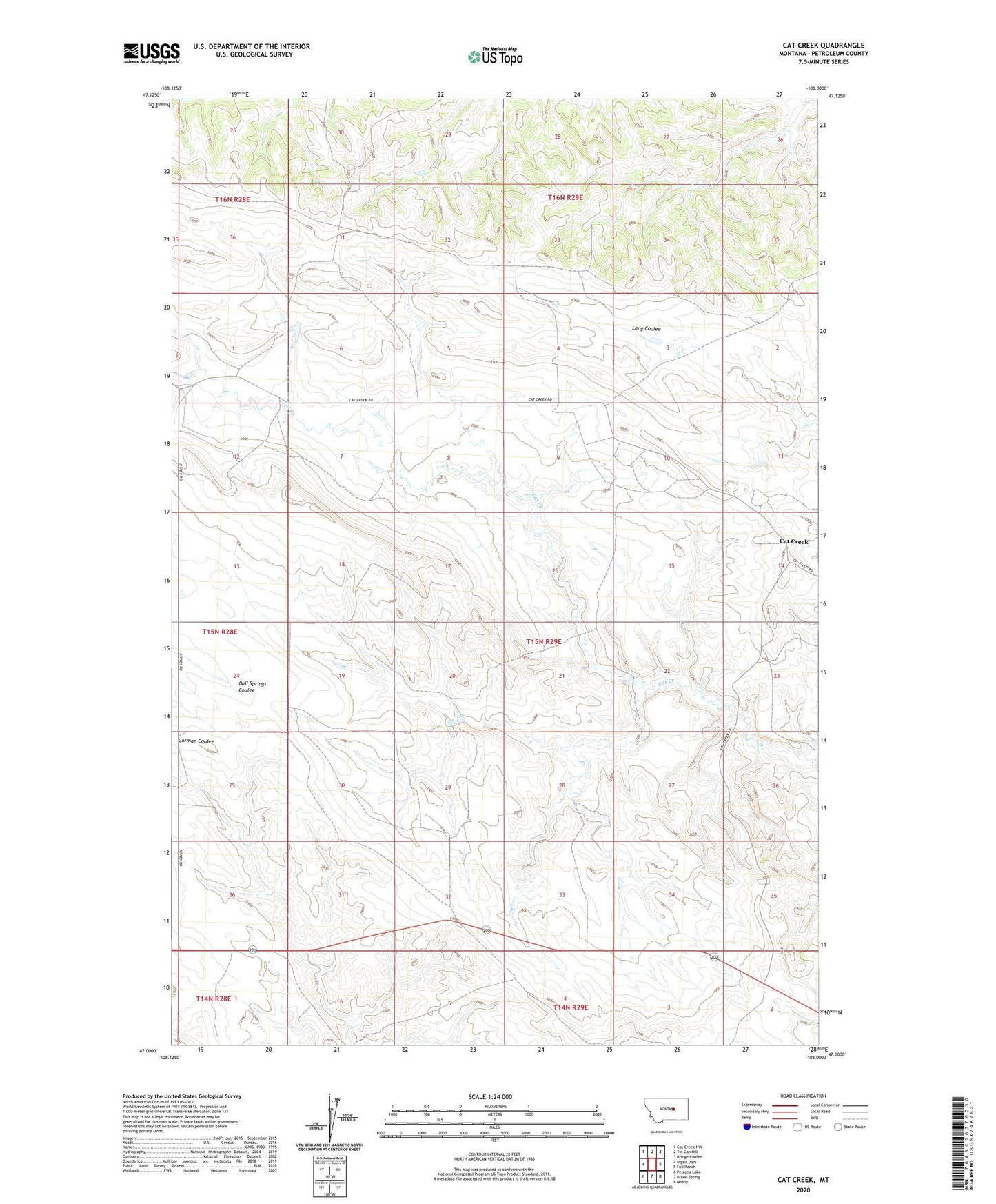
2024 topographic map quadrangle Cat Creek in the state of Montana. Scale: 1:24000. Based on the newly updated USGS 7.5' US Topo map series, this map is in the following counties: Petroleum. The map contains contour data, water features, and other items you are used to seeing on USGS maps, but also has updated roads and other features. This is the next generation of topographic maps. Printed on high-quality waterproof paper with UV fade-resistant inks.
Quads adjacent to this one:
West: Ingals Dam
Northwest: Cat Creek NW
North: Tin Can Hill
Northeast: Bridge Coulee
East: Fail Ranch
Southeast: Mosby
South: Breed Spring
Southwest: Petrolia Lake
This map covers the same area as the classic USGS quad with code o47108a1.
Contains the following named places: 15N21E07AAAB01 Well, 15N29E09ADDB01 Well, 15N29E10CAC_01 Well, 15N29E11CDD_01 Well, Cat Creek, Cat Creek Post Office, Cat Creek School, Follette School, Hough School, Jitney, Jitney Post Office