MyTopo
Joplin Montana US Topo Map
Couldn't load pickup availability
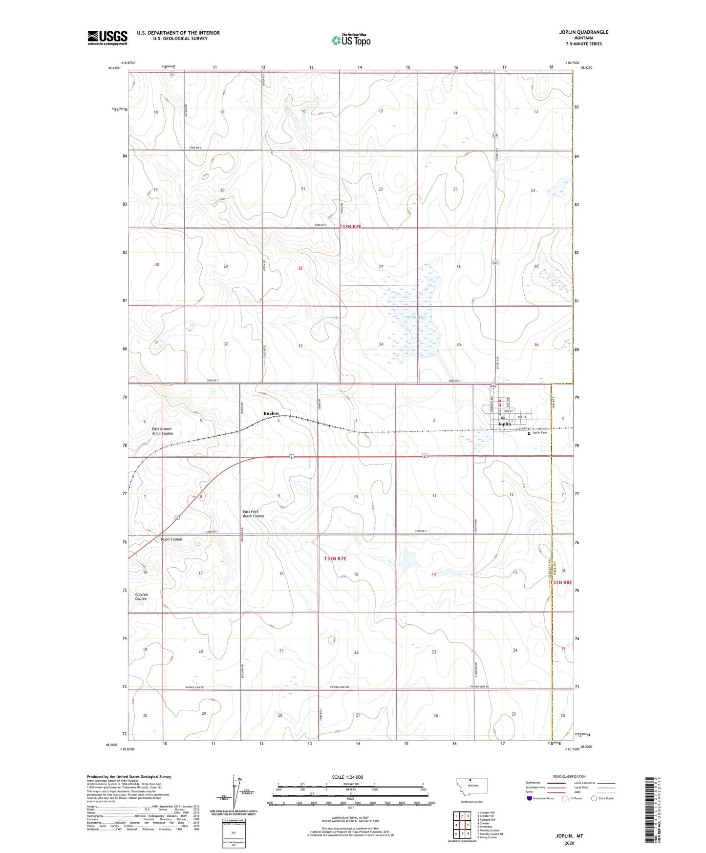
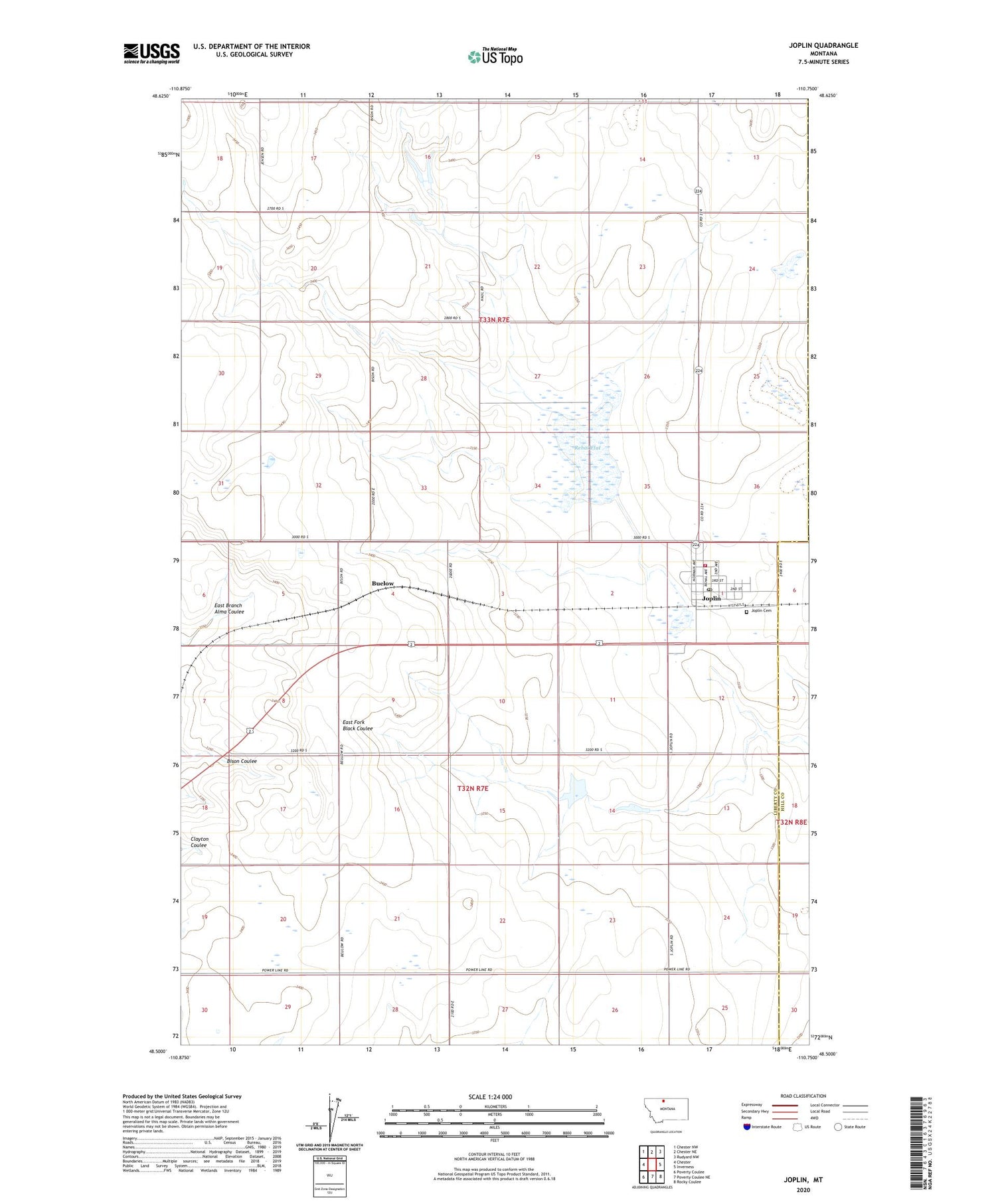
2020 topographic map quadrangle Joplin in the state of Montana. Scale: 1:24000. Based on the newly updated USGS 7.5' US Topo map series, this map is in the following counties: Liberty, Hill. The map contains contour data, water features, and other items you are used to seeing on USGS maps, but also has updated roads and other features. This is the next generation of topographic maps. Printed on high-quality waterproof paper with UV fade-resistant inks.
Quads adjacent to this one:
West: Chester
Northwest: Chester NW
North: Chester NE
Northeast: Rudyard NW
East: Inverness
Southeast: Rocky Coulee
South: Poverty Coulee NE
Southwest: Poverty Coulee
Contains the following named places: 32N07E01BCAB01 Well, 33N07E21DADC01 Well, Bethel Lutheran Church, Bison Post Office, Bison School, Buelow, Delmar Dam, Echo Reservoir Dam, General Mills Incorporated Elevator, Joplin, Joplin Cemetery, Joplin Census Designated Place, Joplin Fire Department, Joplin Post Office, Joplin-Inverness Public Schools, Rehal Flat, Sweet Grass Hills Historical Marker