MyTopo
Kepple Bottoms Montana US Topo Map
Couldn't load pickup availability
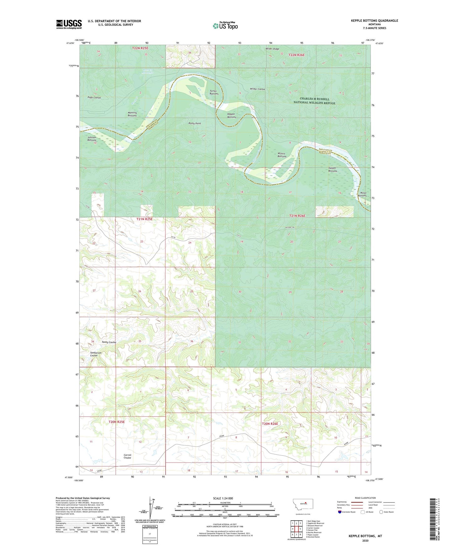
2020 topographic map quadrangle Kepple Bottoms in the state of Montana. Scale: 1:24000. Based on the newly updated USGS 7.5' US Topo map series, this map is in the following counties: Fergus, Phillips. The map contains contour data, water features, and other items you are used to seeing on USGS maps, but also has updated roads and other features. This is the next generation of topographic maps. Printed on high-quality waterproof paper with UV fade-resistant inks.
Quads adjacent to this one:
West: Carter Coulee
Northwest: Bell Ridge East
North: Sagebrush Reservoir
Northeast: Blizzard Reservoir
East: Hanson Flat
Southeast: Dovetail Butte
South: Pipes Coulee
Southwest: Kachia Reservoir
Contains the following named places: 21N25E03CA__01 Well, Broadwater Landing, Cantonment Rocky Point, Gar Ranch, Halpen Bottoms, Johnson Bottoms, Kepple Bottoms, Manning Bottoms, Miller Bottoms, Old Musselshell Trail, Prairie DOG Dam, Pugh Coulee, Rindal Ranch, Rock Creek, Rock Creek Reservoir, Rock Creek School, Rocky Point, Sandstrom Coulee, Tomty Coulee, Turner Bottoms, Wilder, Wilder Coulee, Wilder Post Office, Wilder Trail, Withro Bottoms