MyTopo
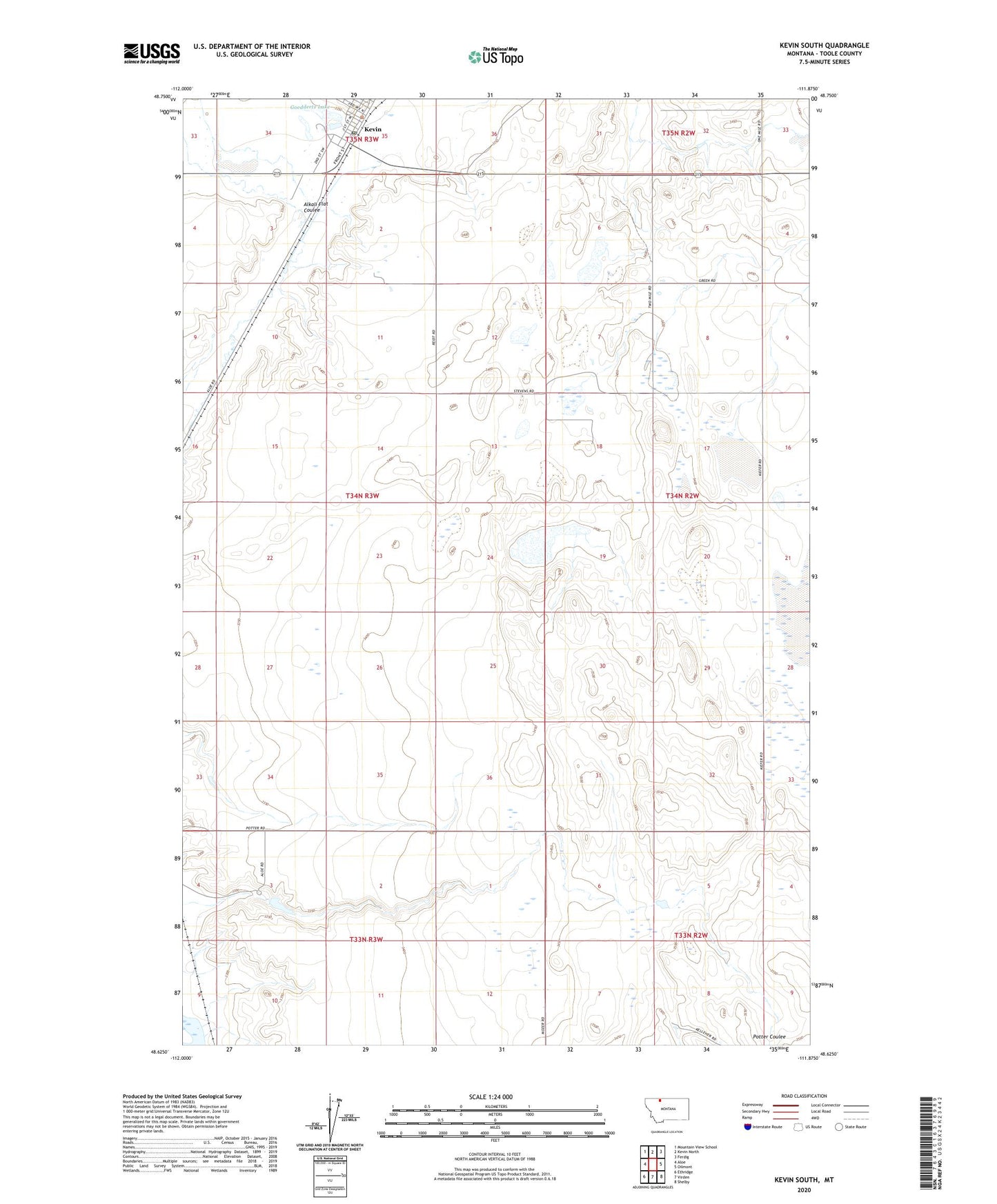
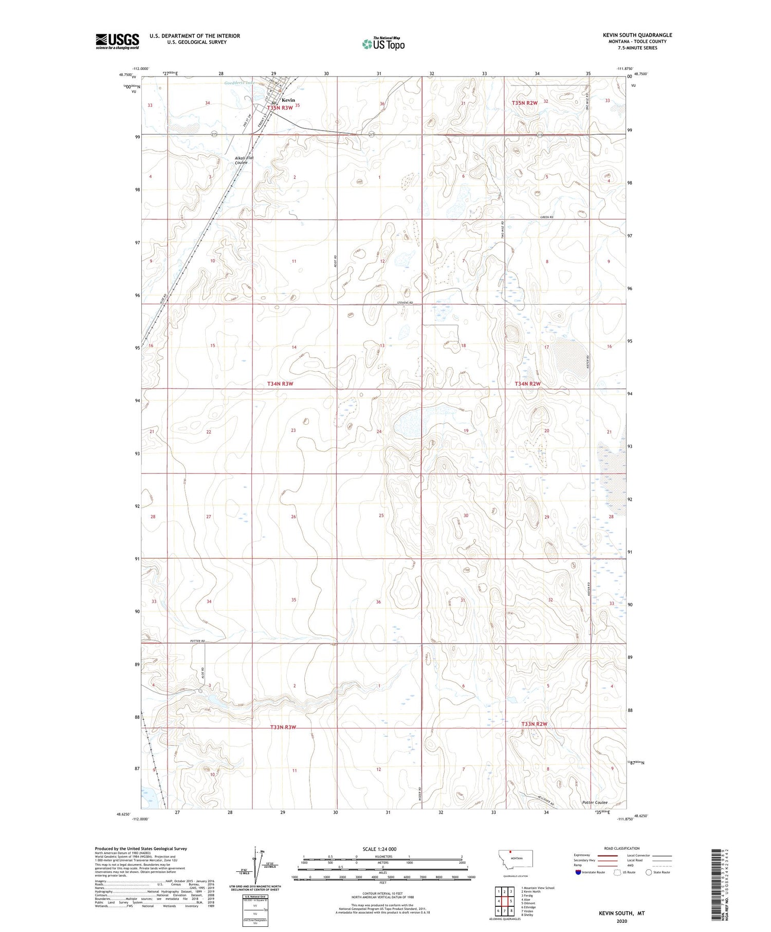
Kevin South Montana US Topo Map
Couldn't load pickup availability
2020 topographic map quadrangle Kevin South in the state of Montana. Scale: 1:24000. Based on the newly updated USGS 7.5' US Topo map series, this map is in the following counties: Toole. The map contains contour data, water features, and other items you are used to seeing on USGS maps, but also has updated roads and other features. This is the next generation of topographic maps. Printed on high-quality waterproof paper with UV fade-resistant inks.
Quads adjacent to this one:
West: Aloe
Northwest: Mountain View School
North: Kevin North
Northeast: Ferdig
East: Oilmont
Southeast: Shelby
South: Virden
Southwest: Ethridge
Contains the following named places: 35N03W35CD__01 Well, 35N03W35CD__02 Well, Alkali Flat Coulee, Aloe School, Goeddertz Dam, Goeddertz Lake, Kevin, Kevin Post Office, Potter Dam, Potter Ranch, Prairie Dell Oil and Gas Field, S W Kevin Gas Field, Town of Kevin