MyTopo
Aloe Montana US Topo Map
Couldn't load pickup availability
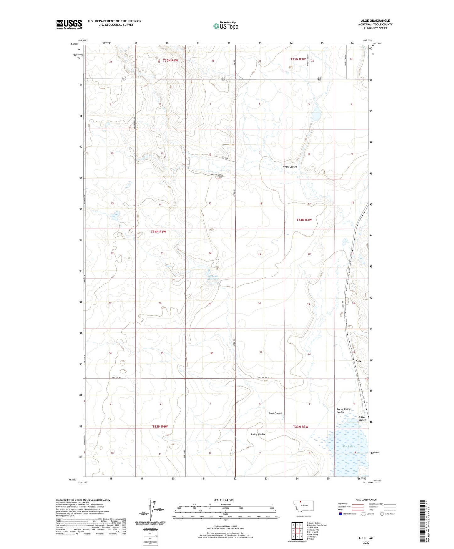
2024 topographic map quadrangle Aloe in the state of Montana. Scale: 1:24000. Based on the newly updated USGS 7.5' US Topo map series, this map is in the following counties: Toole. The map contains contour data, water features, and other items you are used to seeing on USGS maps, but also has updated roads and other features. This is the next generation of topographic maps. Printed on high-quality waterproof paper with UV fade-resistant inks.
Quads adjacent to this one:
West: Ethridge NW
Northwest: Glacier Colony
North: Mountain View School
Northeast: Kevin North
East: Kevin South
Southeast: Virden
South: Ethridge
Southwest: Boru Spring
This map covers the same area as the classic USGS quad with code o48112f1.
Contains the following named places: Aloe, Aloe Post Office, Healy Coulee, McLean Dam, McLean Reservoir, Potter Coulee, Rocky Mountain High Dam, Rocky Springs, Rocky Springs Coulee, Sand Coulee, Spring Coulee, ZIP Code: 59454