MyTopo
Kincheloe Ranch Montana US Topo Map
Couldn't load pickup availability
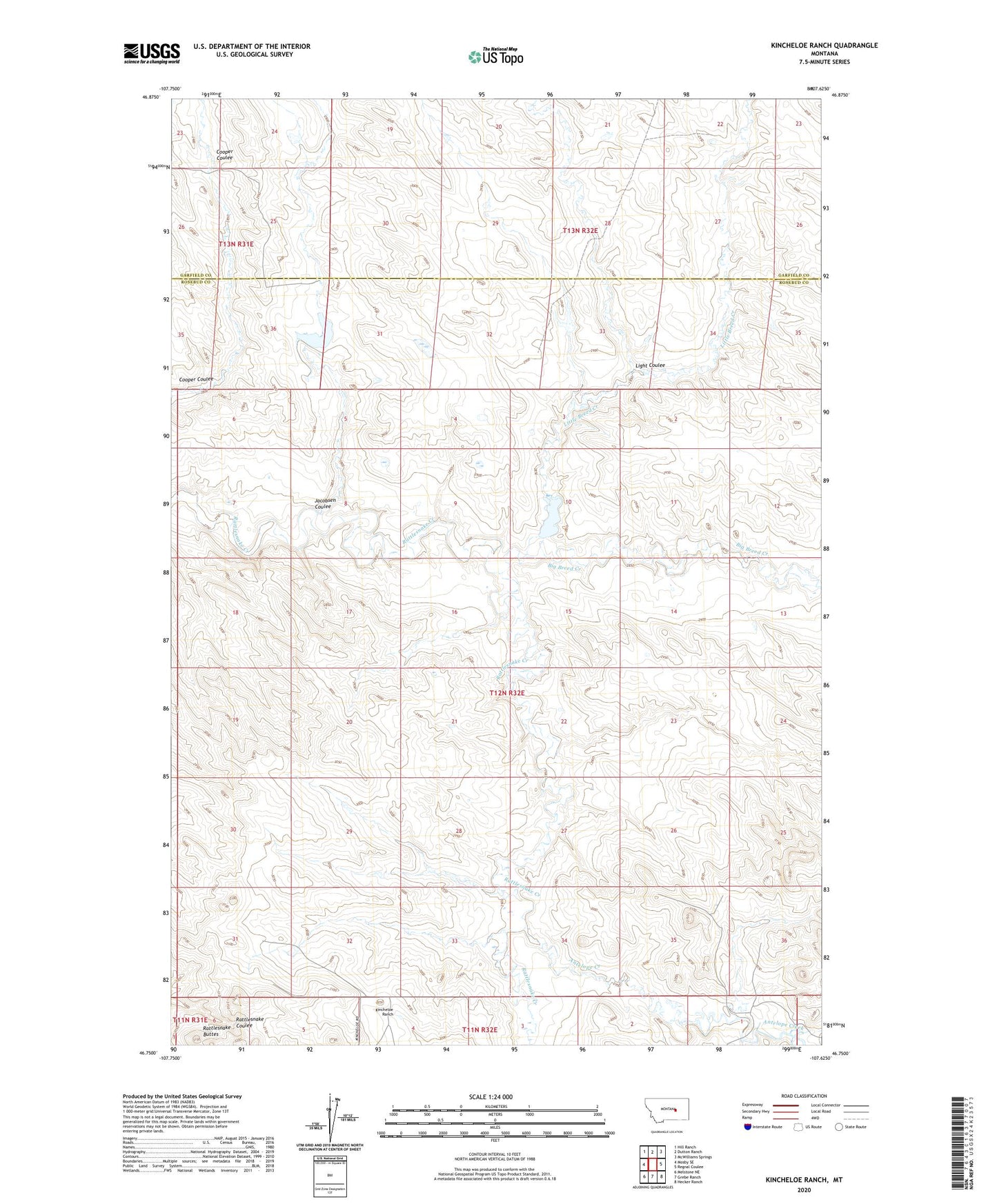
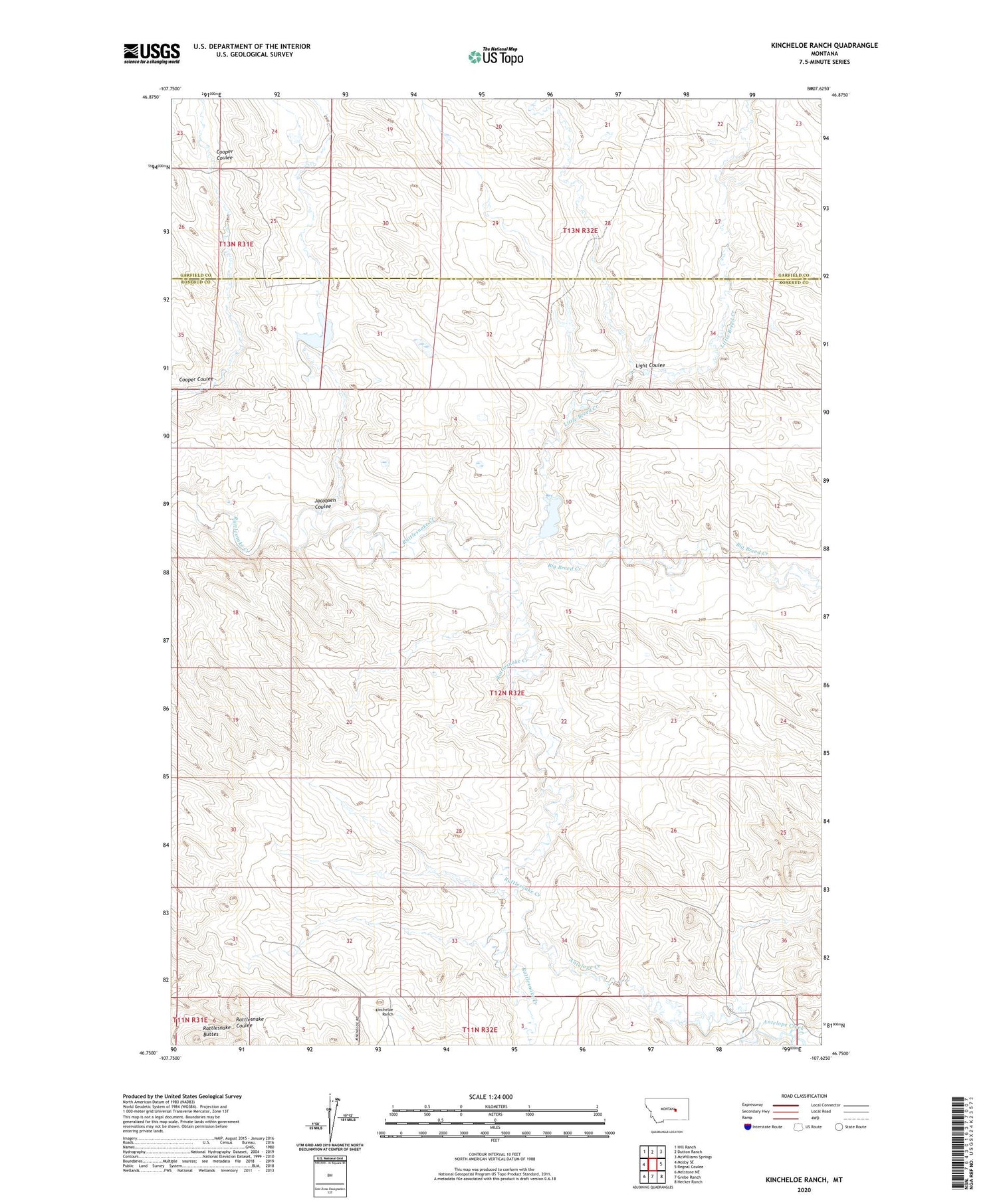
2020 topographic map quadrangle Kincheloe Ranch in the state of Montana. Scale: 1:24000. Based on the newly updated USGS 7.5' US Topo map series, this map is in the following counties: Rosebud, Garfield. The map contains contour data, water features, and other items you are used to seeing on USGS maps, but also has updated roads and other features. This is the next generation of topographic maps. Printed on high-quality waterproof paper with UV fade-resistant inks.
Quads adjacent to this one:
West: Mosby SE
Northwest: Hill Ranch
North: Dutton Ranch
Northeast: McWilliams Springs
East: Regnal Coulee
Southeast: Hecker Ranch
South: Grebe Ranch
Southwest: Melstone NE
Contains the following named places: Antelope Creek, Big Breed Creek, Bs Kincheloe Dam, BS Kincheloe Number 1 Dam, Grebe Number 1 Dam, Jacobsen Coulee, Kincheloe Ranch, L Galt Number 25 Dam, Light Coulee, Little Breed Creek, Montana Number 10 Dam, Rattlesnake Buttes, Sagdell School, Sagedale Post Office