MyTopo
Hecker Ranch Montana US Topo Map
Couldn't load pickup availability
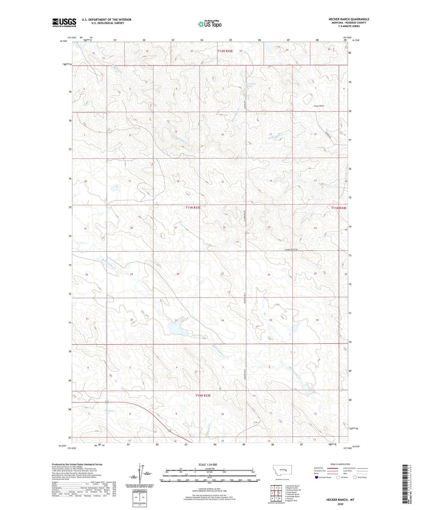
2024 topographic map quadrangle Hecker Ranch in the state of Montana. Scale: 1:24000. Based on the newly updated USGS 7.5' US Topo map series, this map is in the following counties: Rosebud. The map contains contour data, water features, and other items you are used to seeing on USGS maps, but also has updated roads and other features. This is the next generation of topographic maps. Printed on high-quality waterproof paper with UV fade-resistant inks.
Quads adjacent to this one:
West: Grebe Ranch
Northwest: Kincheloe Ranch
North: Regnal Coulee
Northeast: McGinnis Butte SW
East: Yablonski Ranch
Southeast: Ingomar West
South: Sumatra
Southwest: Guthridge Ranch
This map covers the same area as the classic USGS quad with code o46107f5.
Contains the following named places: Antelope School, Bar G9 Number 2 Dam, BN Number 3 Dam, Hauck Ranch, Hecker Ranch, Kincheloe Camp, Rankin Camp, Schmidt Number 1 Dam, Seventynine Spring