MyTopo
Kraut Coulee Montana US Topo Map
Couldn't load pickup availability
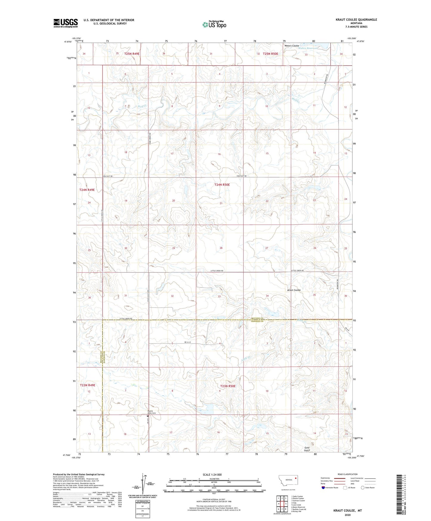
2020 topographic map quadrangle Kraut Coulee in the state of Montana. Scale: 1:24000. Based on the newly updated USGS 7.5' US Topo map series, this map is in the following counties: McCone, Dawson. The map contains contour data, water features, and other items you are used to seeing on USGS maps, but also has updated roads and other features. This is the next generation of topographic maps. Printed on high-quality waterproof paper with UV fade-resistant inks.
Quads adjacent to this one:
West: Vida
Northwest: Gady Coulee
North: Dowse Coulee
Northeast: Sullivan Coulee
East: Lisk Creek
Southeast: Richey NW
South: Buffalo Creek NE
Southwest: Beery Reservoir
Contains the following named places: 23N49E01DDD_01 Well, 23N50E04BABA01 Well, 23N50E04BABB01 Well, 23N50E04DBCD01 Well, 23N50E04DCBA01 Well, 23N50E10BBBA01 Well, 23N50E12BCAA01 Well, 23N50E12BCAD01 Well, 23N50E14CABB01 Well, 23N50E14CACB01 Well, 23N50E14CACC01 Well, 23N50E14CBDA01 Well, 24N50E09BAD_01 Well, 24N50E19CB__01 Well, 24N50E20AAAA01 Well, Brown Bear Dam, Knudson Dam, Prairie Lawn Cemetery, Prairie View School, S A Lee Number 1 Dam, Sacred Heights Methodist Church, Smile Number 2 Dam, Smile Number 3 Dam, Waters Coulee, Waters Number 5 Dam, Waters Reservoir