MyTopo
Beery Reservoir Montana US Topo Map
Couldn't load pickup availability
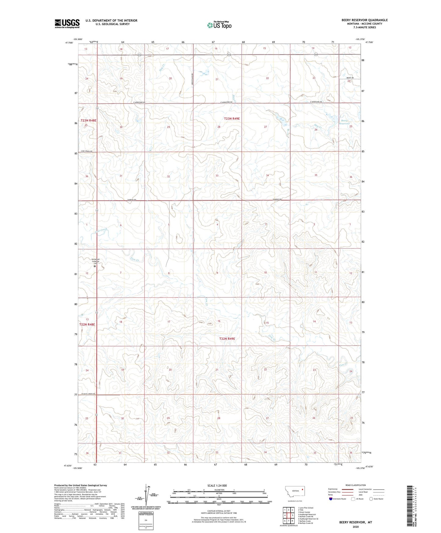
2024 topographic map quadrangle Beery Reservoir in the state of Montana. Scale: 1:24000. Based on the newly updated USGS 7.5' US Topo map series, this map is in the following counties: McCone. The map contains contour data, water features, and other items you are used to seeing on USGS maps, but also has updated roads and other features. This is the next generation of topographic maps. Printed on high-quality waterproof paper with UV fade-resistant inks.
Quads adjacent to this one:
West: Hudiburgh Reservoir
Northwest: Lone Pine School
North: Vida
Northeast: Kraut Coulee
East: Buffalo Creek NE
Southeast: Buffalo Creek SE
South: Buffalo Creek
Southwest: Hudiburgh Reservoir SE
This map covers the same area as the classic USGS quad with code o47105f4.
Contains the following named places: 22N49E06CABA01 Well, 22N49E08ADDC01 Well, 22N49E08BDDD01 Well, 22N49E18BCCB01 Well, 22N49E20AACC01 Well, 22N49E21CABD01 Well, 22N49E28BCCB01 Well, 22N49E29CCDC01 Well, 22N49E30ACCC01 Well, 23N49E14CDCC01 Well, 23N49E25BC__01 Well, 23N49E28ABAB01 Well, Beery Reservoir, Berrys Land Dam, Berrys Land Number 4 Dam, Immanuel Lutheran Cemetery, Immanuel Lutheran Church, Tillman Number 3 Dam, Voegele Number 1 Dam