MyTopo
Richey NW Montana US Topo Map
Couldn't load pickup availability
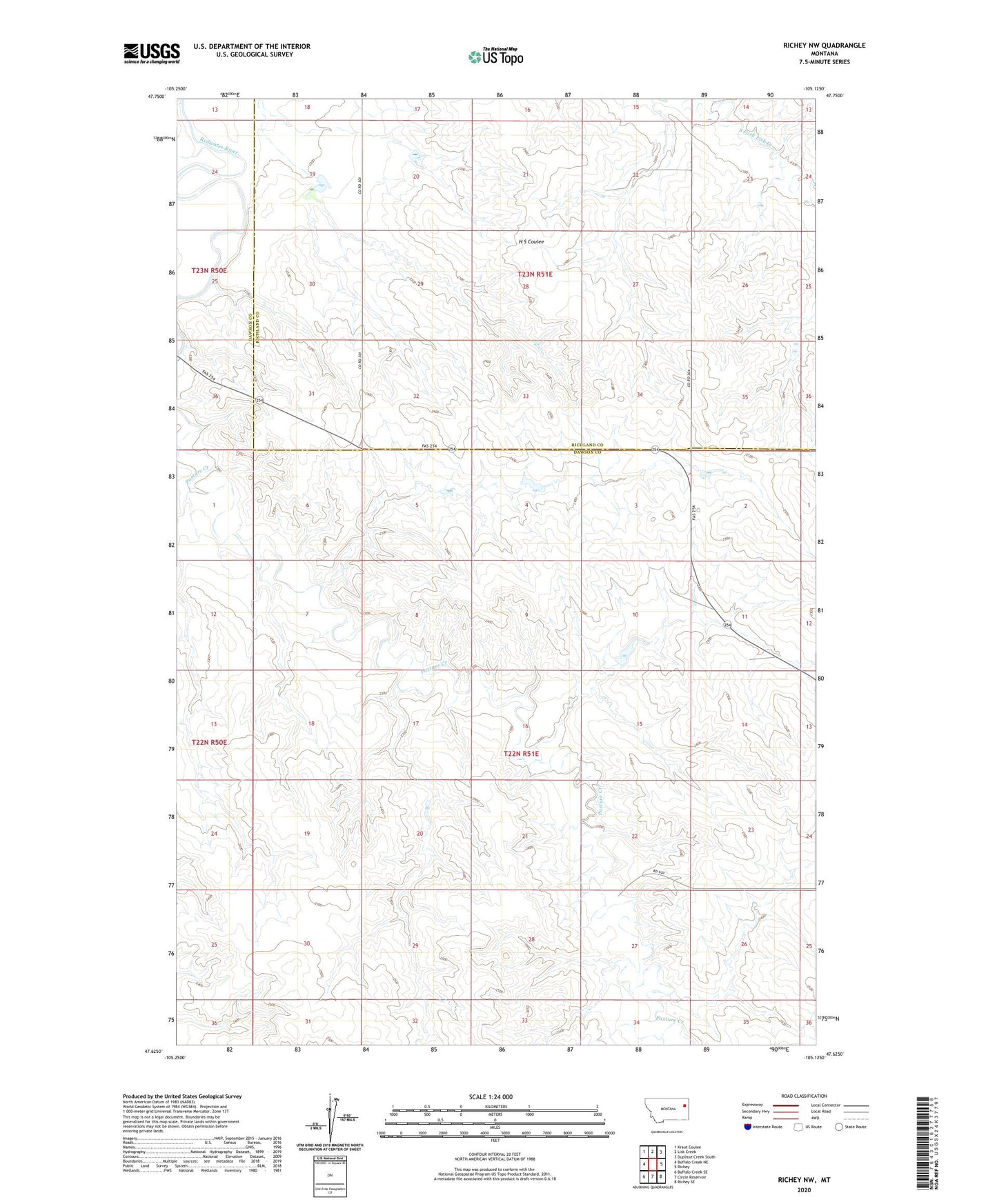
2024 topographic map quadrangle Richey NW in the state of Montana. Scale: 1:24000. Based on the newly updated USGS 7.5' US Topo map series, this map is in the following counties: Dawson, Richland. The map contains contour data, water features, and other items you are used to seeing on USGS maps, but also has updated roads and other features. This is the next generation of topographic maps. Printed on high-quality waterproof paper with UV fade-resistant inks.
Quads adjacent to this one:
West: Buffalo Creek NE
Northwest: Kraut Coulee
North: Lisk Creek
Northeast: Duplisse Creek South
East: Richey
Southeast: Richey SE
South: Circle Reservoir
Southwest: Buffalo Creek SE
This map covers the same area as the classic USGS quad with code o47105f2.
Contains the following named places: 22N50E13BADB01 Well, 22N50E24BABA01 Well, 22N51E02CBBB01 Well, 22N51E02CBBC01 Well, 22N51E03BAAA01 Well, 22N51E05ADDD01 Well, 22N51E07CCDD01 Well, 22N51E10ADDA01 Well, 22N51E10ADDD01 Well, 22N51E11BCCA01 Well, 22N51E11BCCA02 Well, 22N51E19CBBB01 Well, 22N51E22DBAD01 Well, 22N51E23DDCB01 Well, 22N51E26ABAD01 Well, 22N51E27BAAB01 Well, 22N51E27BABD01 Well, 22N51E28BAAA01 Well, 23N50E24DDCD01 Well, 23N51E14CCCB01 Well, 23N51E14DDAD01 Well, 23N51E20BBBC01 Well, 23N51E20BBBD01 Well, 23N51E22CBAC01 Well, 23N51E22CBDB01 Well, 23N51E23ACAD01 Well, 23N51E26BDBB01 Well, H S Dam, Johnston Dam, Lee Sa Number 2 Dam, Othar Number 1 Dam, Pasture Creek