MyTopo
Lake Thibadeau Montana US Topo Map
Couldn't load pickup availability
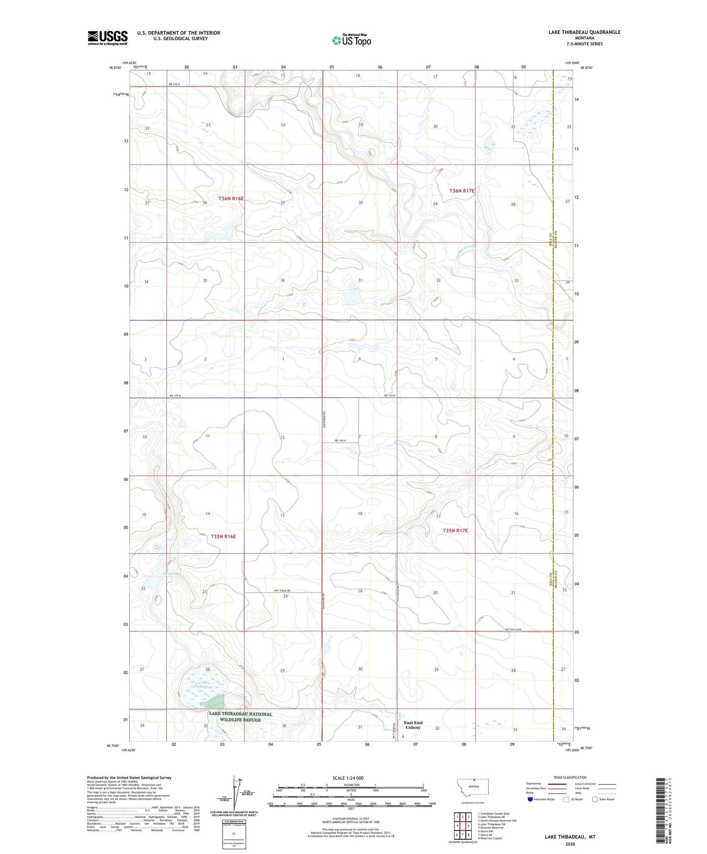
2024 topographic map quadrangle Lake Thibadeau in the state of Montana. Scale: 1:24000. Based on the newly updated USGS 7.5' US Topo map series, this map is in the following counties: Hill, Blaine. The map contains contour data, water features, and other items you are used to seeing on USGS maps, but also has updated roads and other features. This is the next generation of topographic maps. Printed on high-quality waterproof paper with UV fade-resistant inks.
Quads adjacent to this one:
West: Lake Thibadeau SW
Northwest: Creedman Coulee East
North: Lake Thibadeau NE
Northeast: North Chinook Reservoir NW
East: McLaren Reservoir
Southeast: Reservoir Coulee
South: Havre NE
Southwest: Havre NW
This map covers the same area as the classic USGS quad with code o48109g5.
Contains the following named places: Diversion, Diversion Dam, East End Colony, East End Colony Census Designated Place, East End Colony School, Kat Ruler Dam, Lake Thibadeau, Lake Thibadeau National Wildlife Refuge, Lenhart Number 4 Dam, Lenhart Number 5 Dam, Thibadeau Lake Dam, Willie Nelson Dam