MyTopo
Lebo Lake Montana US Topo Map
Couldn't load pickup availability
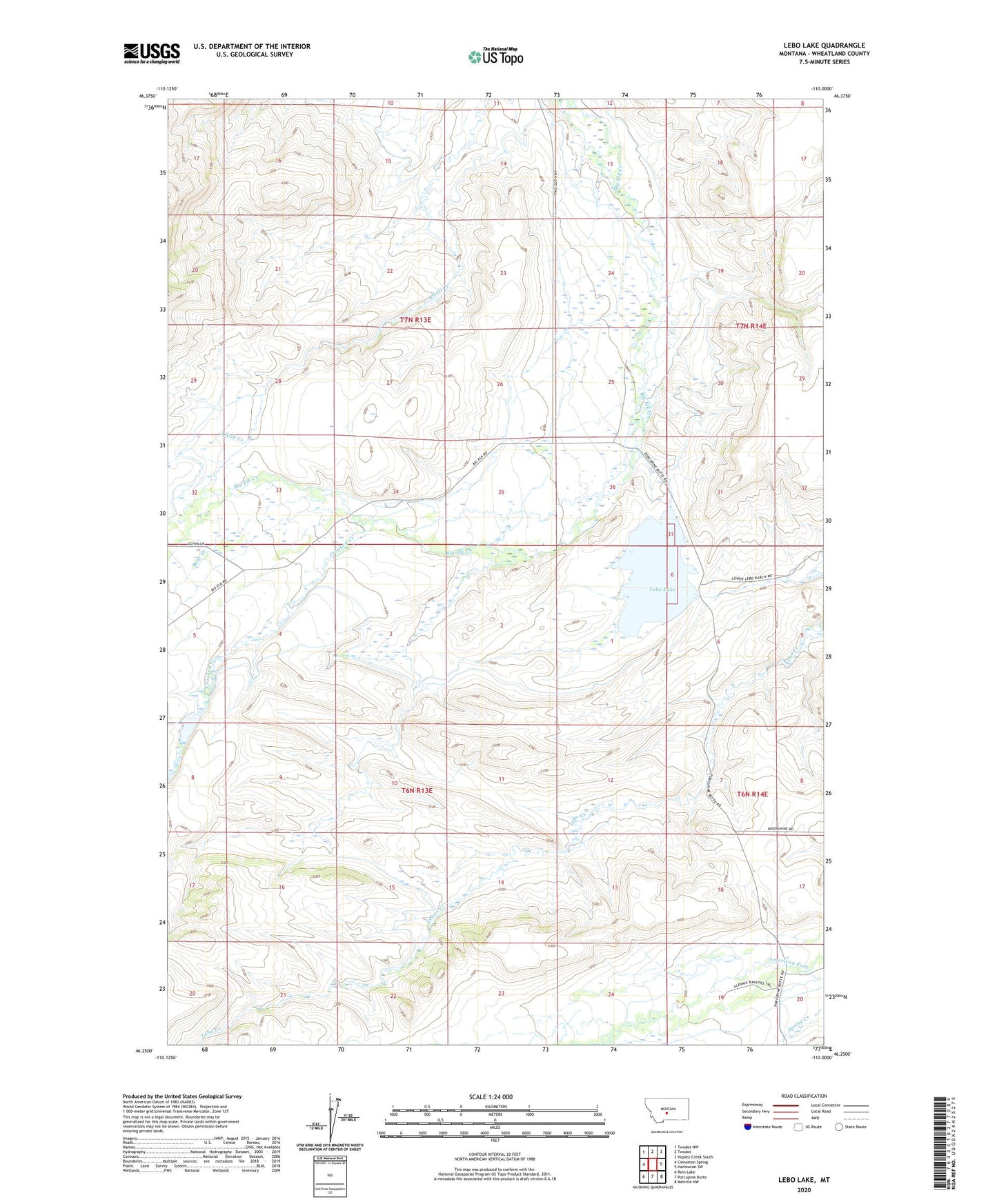
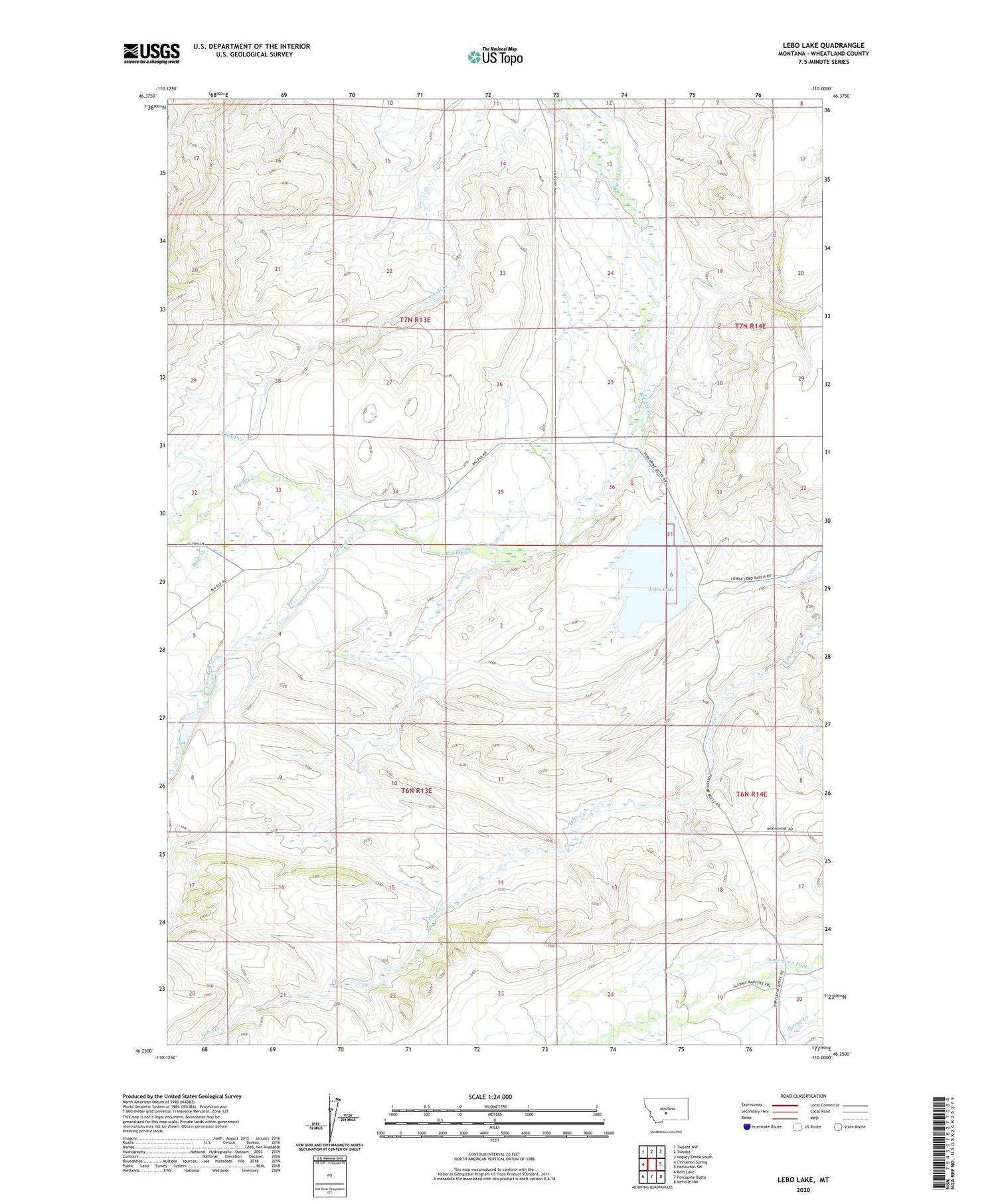
2020 topographic map quadrangle Lebo Lake in the state of Montana. Scale: 1:24000. Based on the newly updated USGS 7.5' US Topo map series, this map is in the following counties: Wheatland. The map contains contour data, water features, and other items you are used to seeing on USGS maps, but also has updated roads and other features. This is the next generation of topographic maps. Printed on high-quality waterproof paper with UV fade-resistant inks.
Quads adjacent to this one:
West: Cinnamon Spring
Northwest: Twodot NW
North: Twodot
Northeast: Hopley Creek South
East: Harlowton SW
Southeast: Melville NW
South: Porcupine Butte
Southwest: Rein Lake
Contains the following named places: 06N14E19C___01 Well, 06N14E20B___01 Well, 07N13E36____01 Well, 07N14E29CDCA01 Well, 07N14E31____01 Well, Bear Creek, Big Elk, Big Elk Post Office, C Bar J Ranch, Crooked Creek, East Lebo Number 3 Dam, Lebo Lake, Lebo Number 2 NE Dam, McFarland-White Dam, NW Lebo Number 1 Dam