
MyTopo
Letz Lake Montana US Topo Map
Couldn't load pickup availability
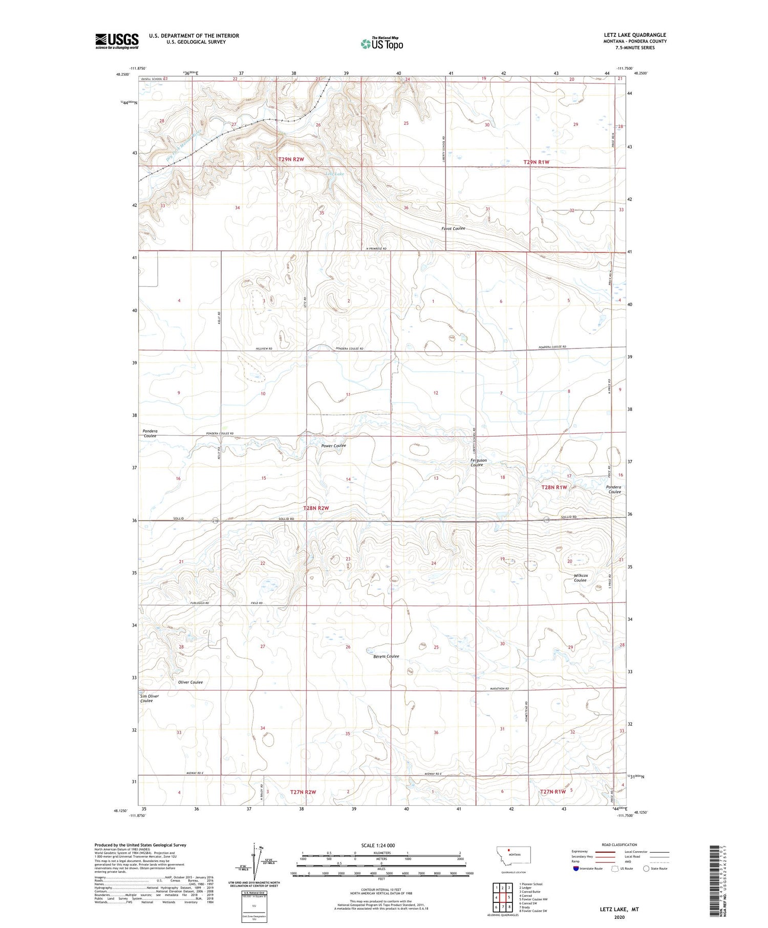
2020 topographic map quadrangle Letz Lake in the state of Montana. Scale: 1:24000. Based on the newly updated USGS 7.5' US Topo map series, this map is in the following counties: Pondera. The map contains contour data, water features, and other items you are used to seeing on USGS maps, but also has updated roads and other features. This is the next generation of topographic maps. Printed on high-quality waterproof paper with UV fade-resistant inks.
Quads adjacent to this one:
West: Conrad
Northwest: Pioneer School
North: Ledger
Northeast: Conrad Butte
East: Fowler Coulee NW
Southeast: Fowler Coulee SW
South: Brady
Southwest: Conrad SW
Contains the following named places: 28N02W27BADA01 Well, 28N02W27BADA02 Well, Conrad Division, Ferguson Coulee, Golden Valley School, Letz Lake, Letz Lake Dam, Power Coulee


