MyTopo
Conrad Butte Montana US Topo Map
Couldn't load pickup availability
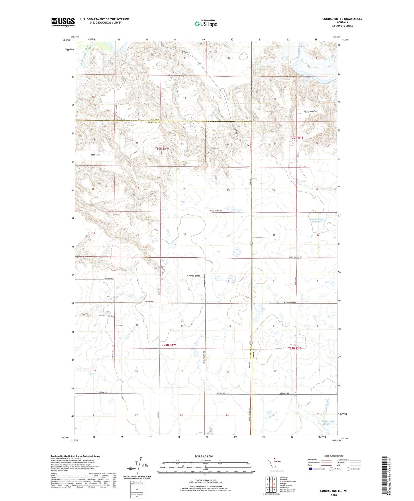
2024 topographic map quadrangle Conrad Butte in the state of Montana. Scale: 1:24000. Based on the newly updated USGS 7.5' US Topo map series, this map is in the following counties: Toole, Pondera. The map contains contour data, water features, and other items you are used to seeing on USGS maps, but also has updated roads and other features. This is the next generation of topographic maps. Printed on high-quality waterproof paper with UV fade-resistant inks.
Quads adjacent to this one:
West: Ledger
Northwest: Naismith
North: Dunkirk
Northeast: South Devon School
East: Central School
Southeast: Fowler Coulee NE
South: Fowler Coulee NW
Southwest: Letz Lake
This map covers the same area as the classic USGS quad with code o48111c6.
Contains the following named places: Atkinson Flat, Conrad Butte, Dry Fork Marias River, Fowl Mouth Dam, Higgins School, Jim Judisch Dam, Jim Judisch Reservoir, M Ratzburg Reservoir, Marias Hereford Ranch Number 30 Dam, Sruddy Dam, Tank Flat, Union School