MyTopo
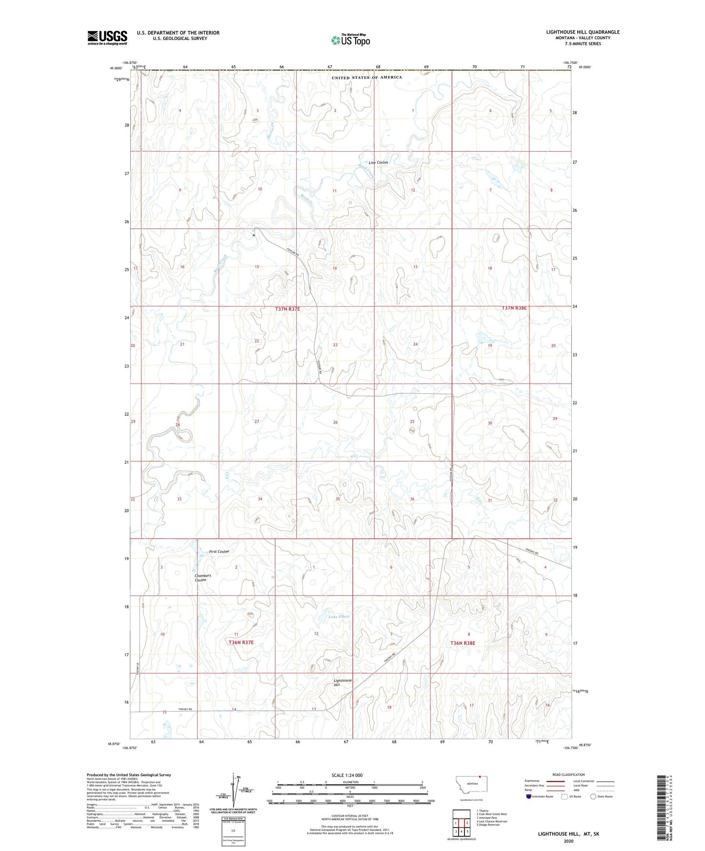
Lighthouse Hill Montana US Topo Map
Couldn't load pickup availability
2024 topographic map quadrangle Lighthouse Hill in the state of Montana. Scale: 1:24000. Based on the newly updated USGS 7.5' US Topo map series, this map is in the following counties: Valley. The map contains contour data, water features, and other items you are used to seeing on USGS maps, but also has updated roads and other features. This is the next generation of topographic maps. Printed on high-quality waterproof paper with UV fade-resistant inks.
Quads adjacent to this one:
West: Thoeny
East: Coal Mine Creek West
Southeast: Dodge Reservoir
South: Last Chance Reservoir
Southwest: Antelope Pass
This map covers the same area as the classic USGS quad with code o48106h7.
Contains the following named places: Barnard Post Office, Barnard School, Brown Cow Dam, Canoe Dam, Chambers Coulee, Chambers Dam, First Coulee, Frank Stuber Number 1 Dam, Horse Creek, Lake Elbert, Lighthouse Hill, Line Coulee, South Creek, VR-57 Dam