MyTopo
Dodge Reservoir Montana US Topo Map
Couldn't load pickup availability
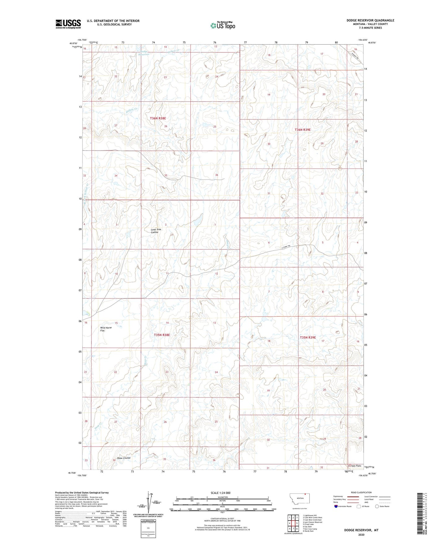
2024 topographic map quadrangle Dodge Reservoir in the state of Montana. Scale: 1:24000. Based on the newly updated USGS 7.5' US Topo map series, this map is in the following counties: Valley. The map contains contour data, water features, and other items you are used to seeing on USGS maps, but also has updated roads and other features. This is the next generation of topographic maps. Printed on high-quality waterproof paper with UV fade-resistant inks.
Quads adjacent to this one:
West: Last Chance Reservoir
Northwest: Lighthouse Hill
North: Coal Mine Creek West
Northeast: Coal Mine Creek East
Southeast: Wards Dam
South: Kerr Cow Camp
Southwest: Gay Dam
This map covers the same area as the classic USGS quad with code o48106g6.
Contains the following named places: Dodge Reservoir, Remulac Dam, Shaw Coulee