MyTopo
Locate SE Montana US Topo Map
Couldn't load pickup availability
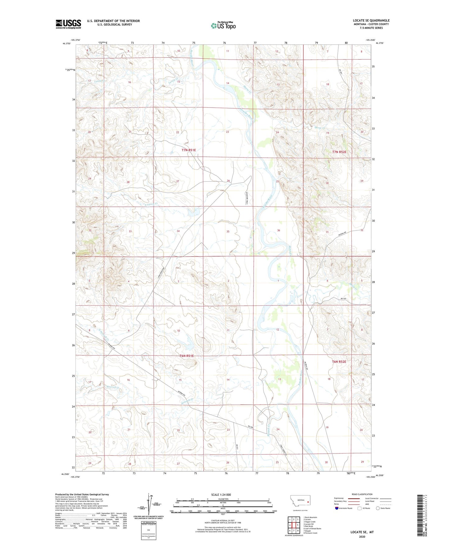
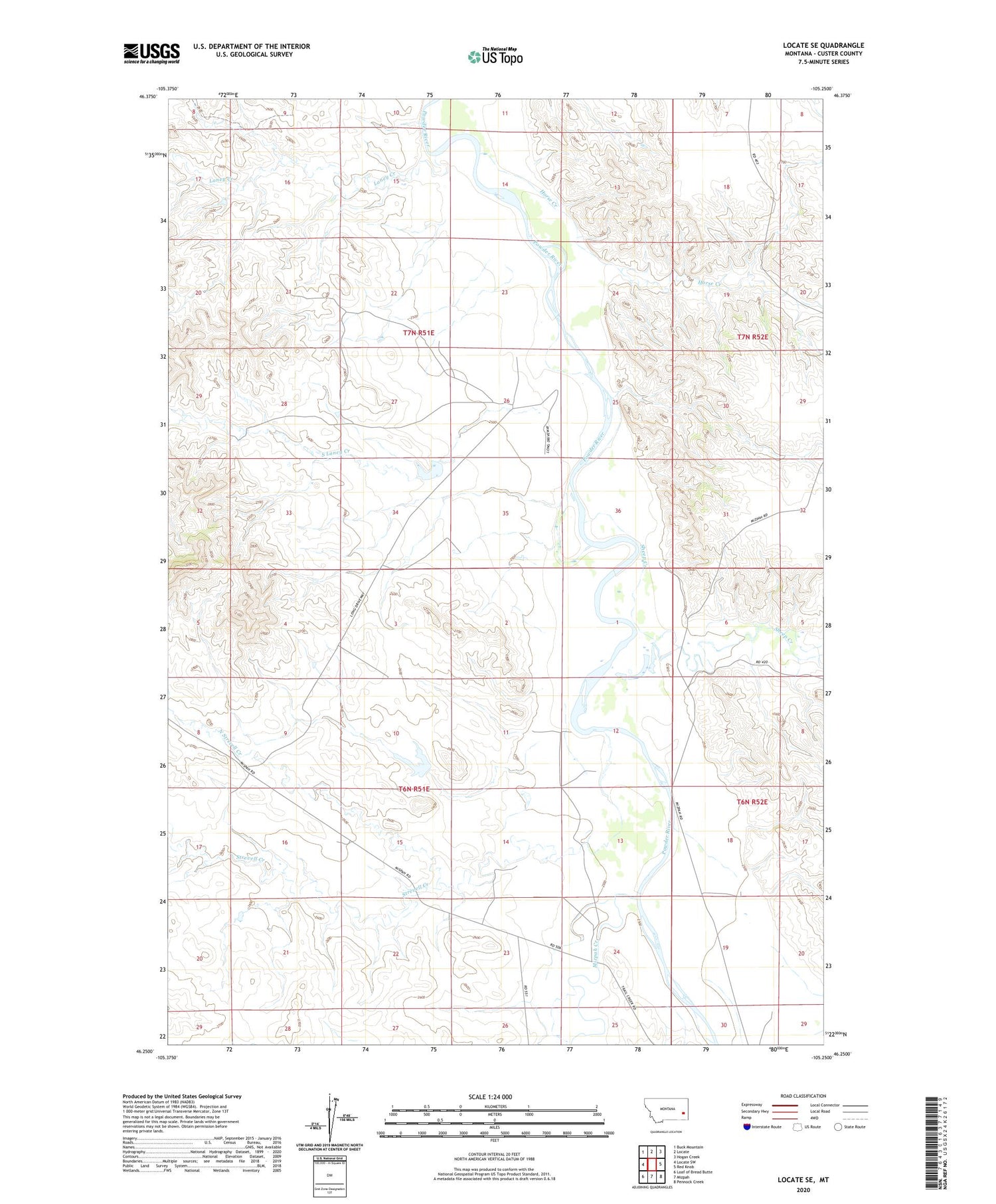
2020 topographic map quadrangle Locate SE in the state of Montana. Scale: 1:24000. Based on the newly updated USGS 7.5' US Topo map series, this map is in the following counties: Custer. The map contains contour data, water features, and other items you are used to seeing on USGS maps, but also has updated roads and other features. This is the next generation of topographic maps. Printed on high-quality waterproof paper with UV fade-resistant inks.
Quads adjacent to this one:
West: Locate SW
Northwest: Buck Mountain
North: Locate
Northeast: Hogan Creek
East: Red Knob
Southeast: Pennock Creek
South: Mizpah
Southwest: Loaf of Bread Butte
Contains the following named places: 06N51E08DA__01 Well, 06N51E08DADA01 Well, 06N51E14DBCD01 Well, 06N51E24DCDB01 Well, 06N52E07BA__01 Well, 07N51E34AD__01 Well, Hay Creek, Horse Creek, Laney Creek, Mizpah Creek, North Strevell Creek, Scott Number 2 Dam, Sheep Creek, South Laney Creek, Strevell Creek