MyTopo
Hogan Creek Montana US Topo Map
Couldn't load pickup availability
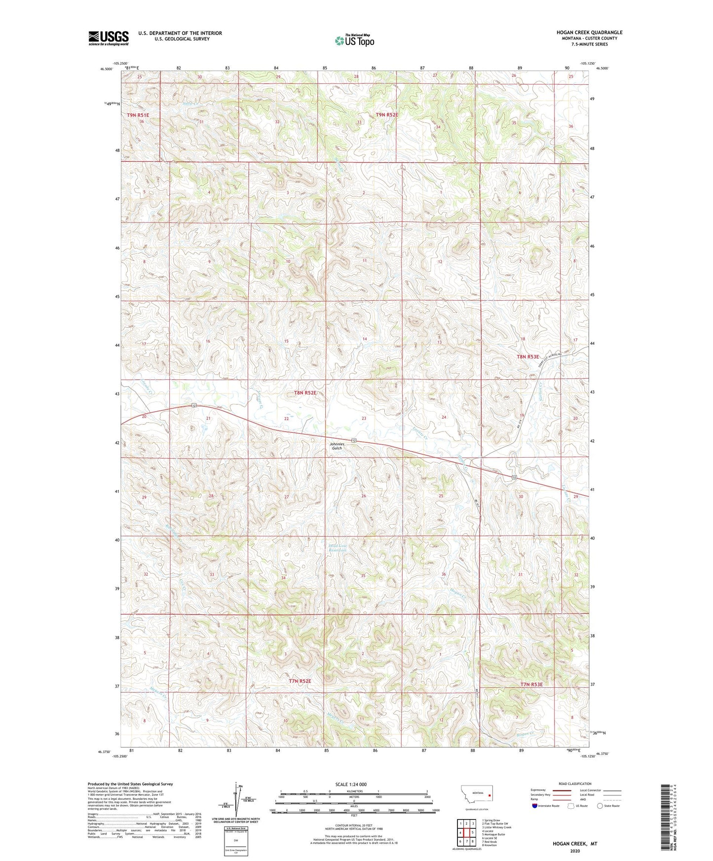
2024 topographic map quadrangle Hogan Creek in the state of Montana. Scale: 1:24000. Based on the newly updated USGS 7.5' US Topo map series, this map is in the following counties: Custer. The map contains contour data, water features, and other items you are used to seeing on USGS maps, but also has updated roads and other features. This is the next generation of topographic maps. Printed on high-quality waterproof paper with UV fade-resistant inks.
Quads adjacent to this one:
West: Locate
Northwest: Spring Draw
North: Flat Top Butte SW
Northeast: Little Whitney Creek
East: Montague Butte
Southeast: Knowlton
South: Red Knob
Southwest: Locate SE
This map covers the same area as the classic USGS quad with code o46105d2.
Contains the following named places: 08N51E20BAAA01 Well, 08N52E22ADCA01 Well, 08N52E22CBAB01 Well, 08N52E26CBAB01 Well, 08N57E07DADA01 Well, 09N52E33DDBA01 Well, 09N52E35ADCD01 Well, Bradshaw Ranch, Crowbar Dam, Dead Cow Reservoir, Hogan Creek, Johnnies Gulch, Norton Creek, Perkins Dam