MyTopo
Lohman Montana US Topo Map
Couldn't load pickup availability
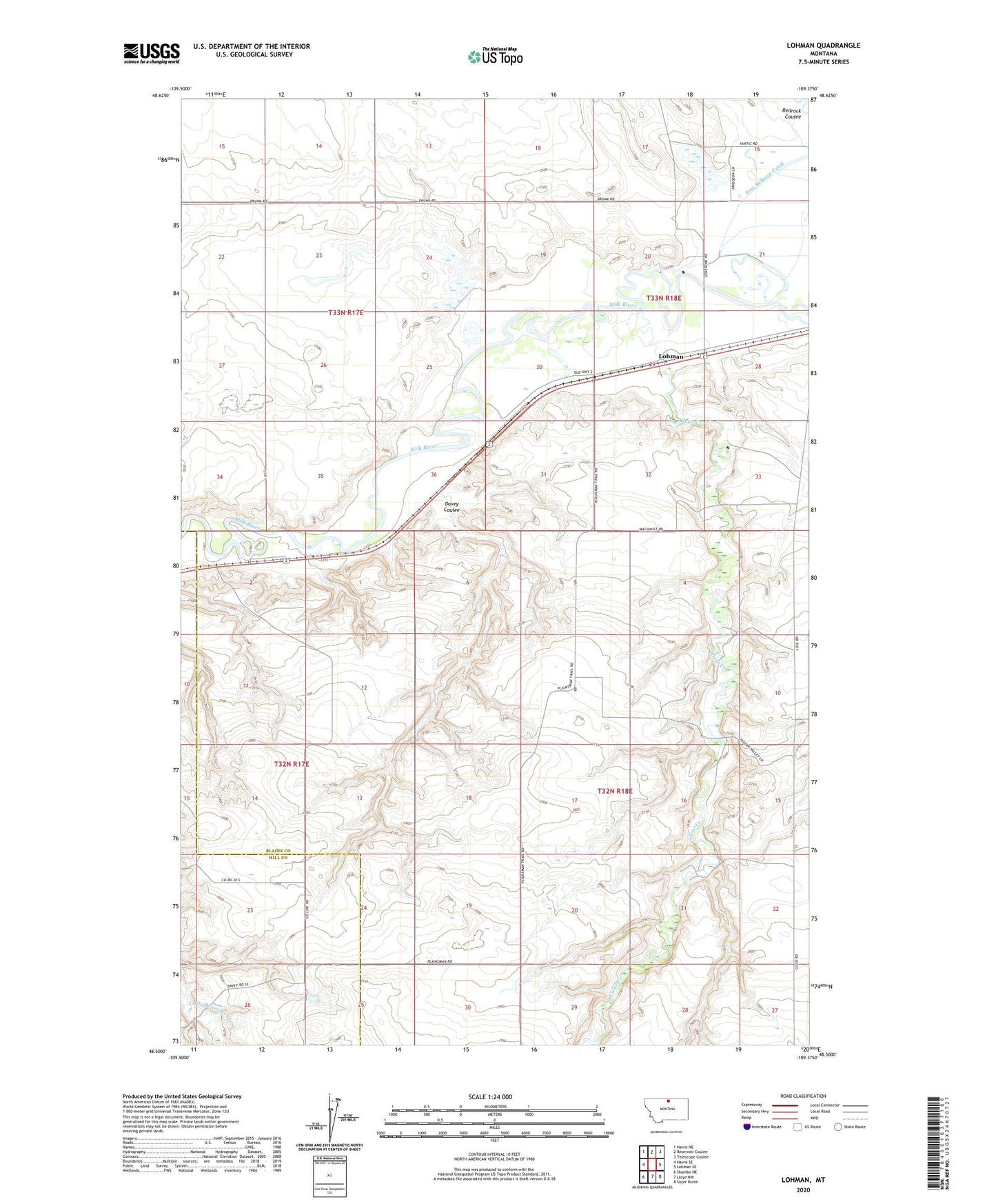
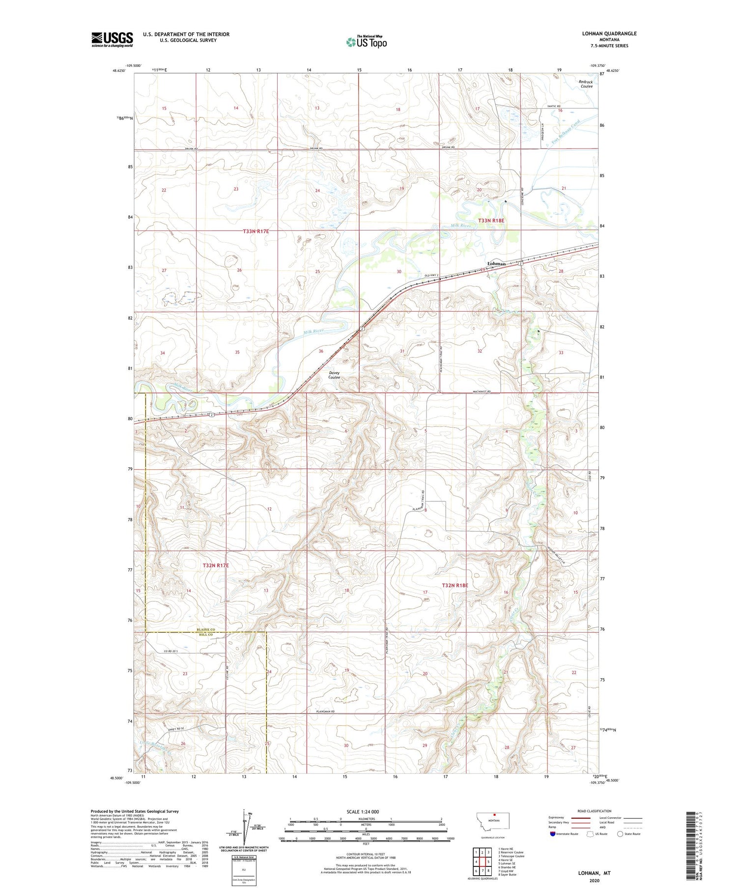
2020 topographic map quadrangle Lohman in the state of Montana. Scale: 1:24000. Based on the newly updated USGS 7.5' US Topo map series, this map is in the following counties: Blaine, Hill. The map contains contour data, water features, and other items you are used to seeing on USGS maps, but also has updated roads and other features. This is the next generation of topographic maps. Printed on high-quality waterproof paper with UV fade-resistant inks.
Quads adjacent to this one:
West: Havre SE
Northwest: Havre NE
North: Reservoir Coulee
Northeast: Telescope Coulee
East: Lohman SE
Southeast: Sayer Butte
South: Lloyd NW
Southwest: Shambo NE
Contains the following named places: 32N17E23AAAB01 Well, Clear Creek, Davey Coulee, Fort Belknap Dam, Frezette School, Highland School, L Krott Dam, Lohman, Lohman Post Office, Miewald School, Prairie Rose School, Prices Post, Yantic Post Office