MyTopo
Sayer Butte Montana US Topo Map
Couldn't load pickup availability
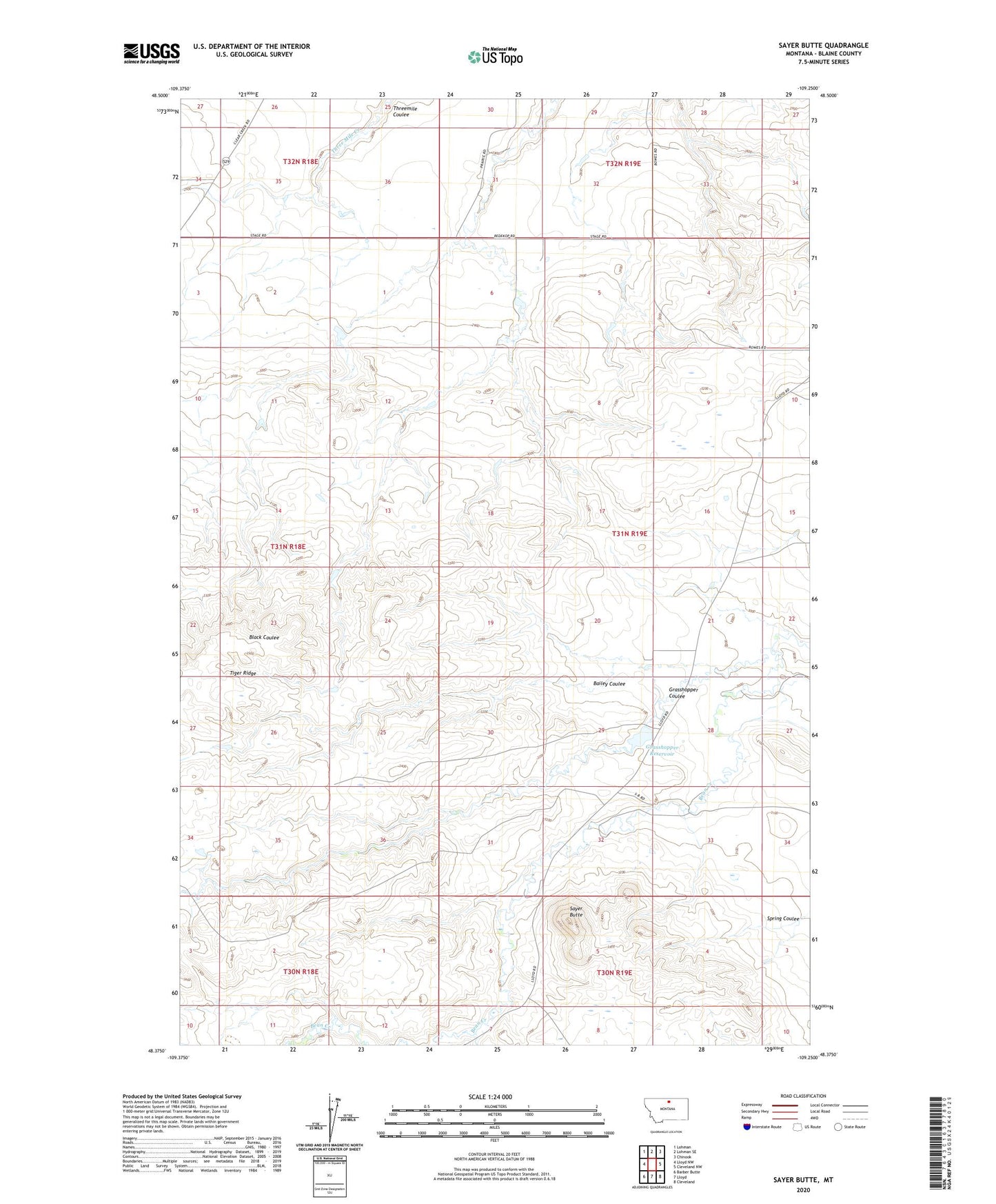
2024 topographic map quadrangle Sayer Butte in the state of Montana. Scale: 1:24000. Based on the newly updated USGS 7.5' US Topo map series, this map is in the following counties: Blaine. The map contains contour data, water features, and other items you are used to seeing on USGS maps, but also has updated roads and other features. This is the next generation of topographic maps. Printed on high-quality waterproof paper with UV fade-resistant inks.
Quads adjacent to this one:
West: Lloyd NW
Northwest: Lohman
North: Lohman SE
Northeast: Chinook
East: Cleveland NW
Southeast: Cleveland
South: Lloyd
Southwest: Barber Butte
This map covers the same area as the classic USGS quad with code o48109d3.
Contains the following named places: 30N19E09DCDB01 Well, 32N18E34DBAA01 Well, 32N19E29CCCC01 Well, Bailey Coulee, Cole School, Grasshopper Coulee, Grasshopper Dam, Grasshopper Reservoir, KRYK-FM (Chinook), Rader Mine, Sayer Butte