MyTopo
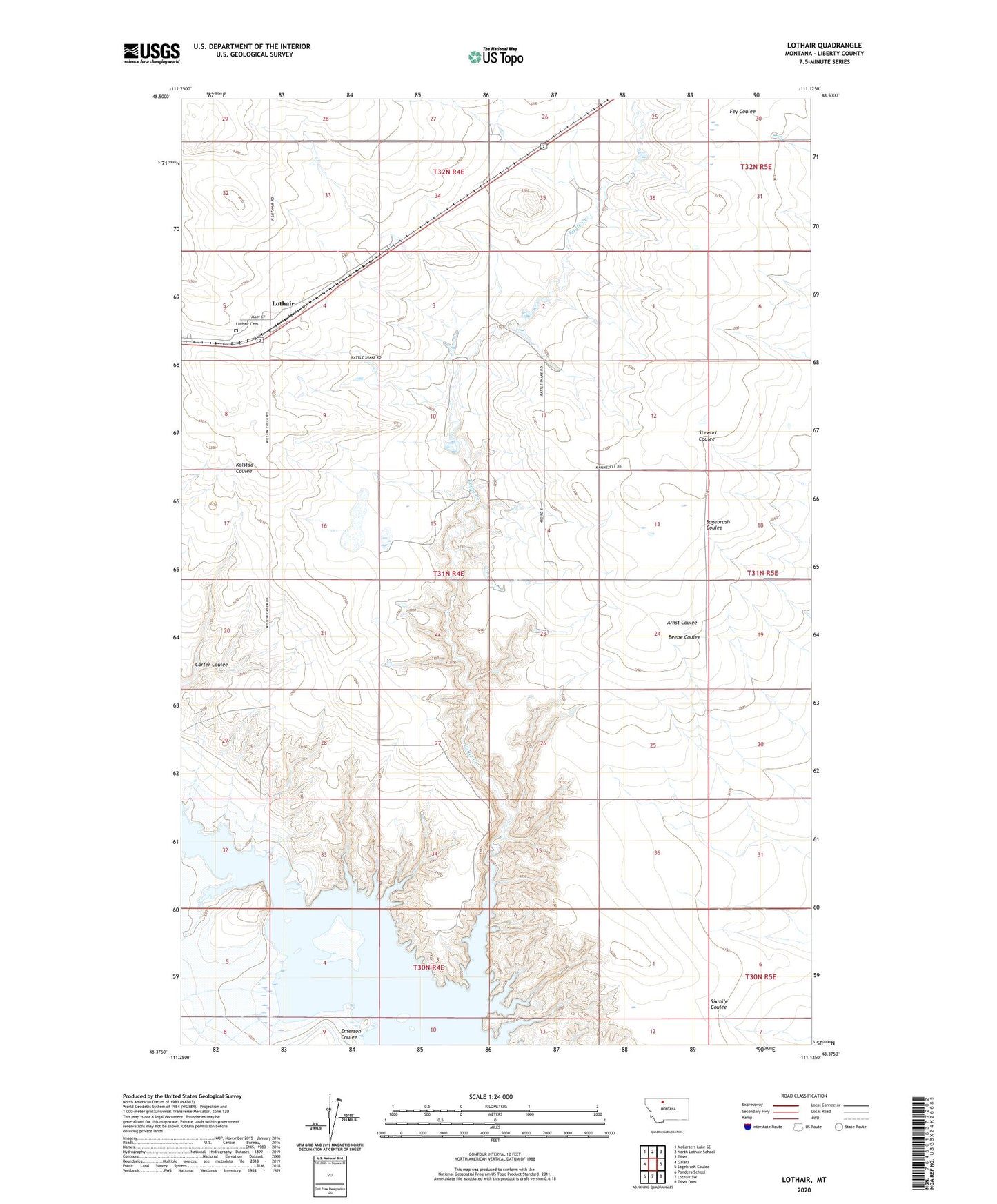
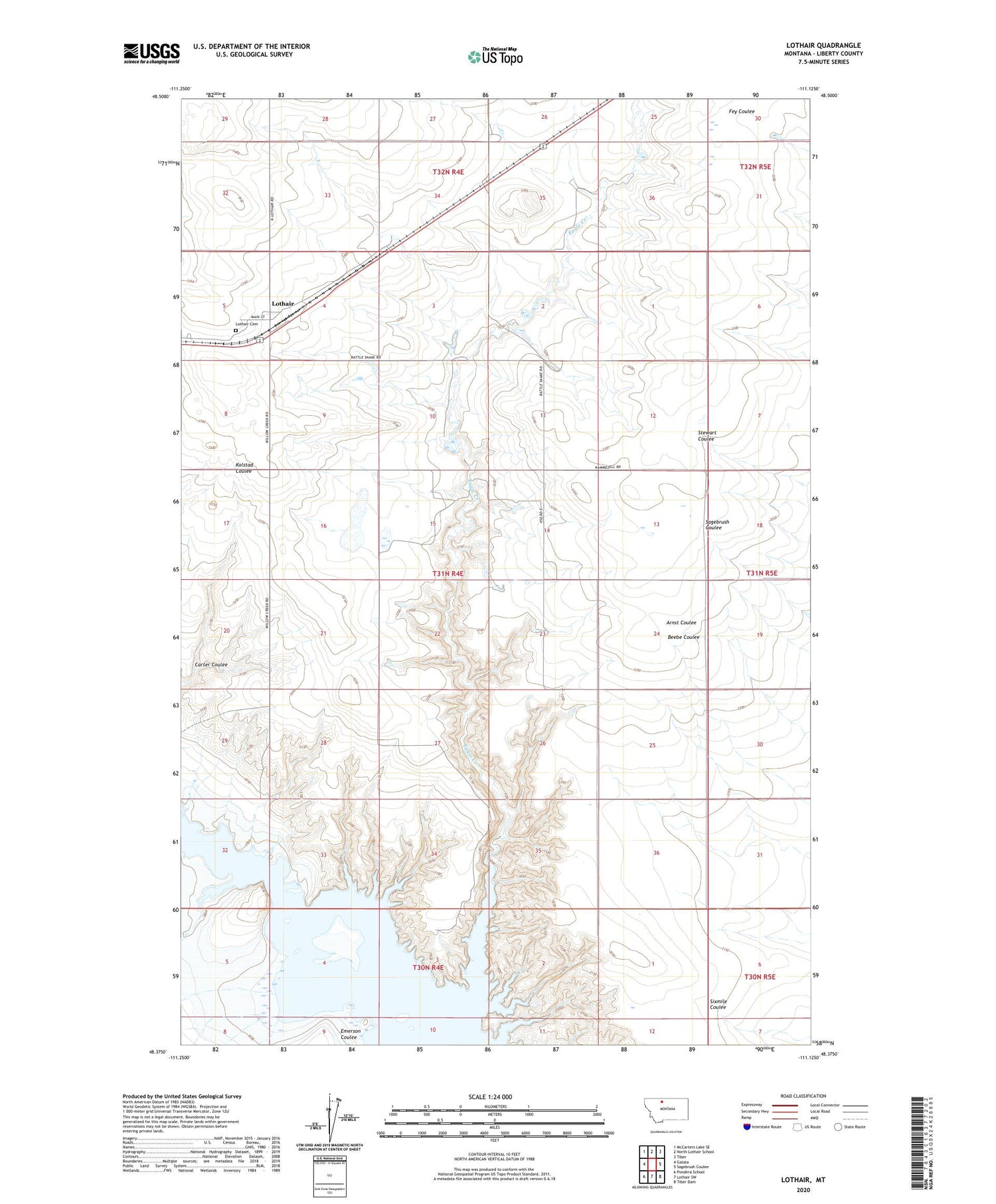
Lothair Montana US Topo Map
Couldn't load pickup availability
2020 topographic map quadrangle Lothair in the state of Montana. Scale: 1:24000. Based on the newly updated USGS 7.5' US Topo map series, this map is in the following counties: Liberty. The map contains contour data, water features, and other items you are used to seeing on USGS maps, but also has updated roads and other features. This is the next generation of topographic maps. Printed on high-quality waterproof paper with UV fade-resistant inks.
Quads adjacent to this one:
West: Galata
Northwest: McCarters Lake SE
North: North Lothair School
Northeast: Tiber
East: Sagebrush Coulee
Southeast: Tiber Dam
South: Lothair SW
Southwest: Pondera School
Contains the following named places: 31N05E07BABC01 Well, 59461, Bourne and Hamilton Number 2 Dam, Bourne and Hamilton Reservoir, Carter Coulee, Eagle Creek, Emerson Coulee, Lothair, Lothair Catholic Church, Lothair Cemetery, Lothair Methodist Church, Lothair Post Office, Lothair School, McFarlanes Church, Willow Creek Campground