MyTopo
Tiber Montana US Topo Map
Couldn't load pickup availability
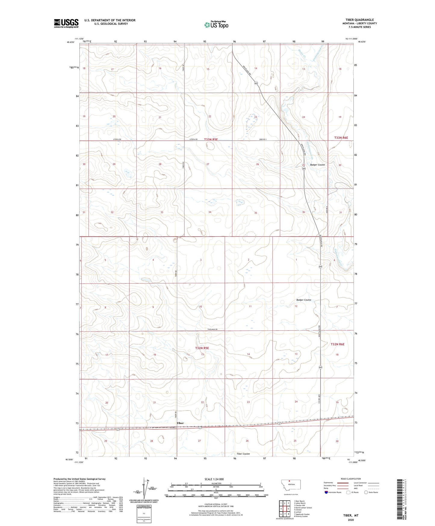
2024 topographic map quadrangle Tiber in the state of Montana. Scale: 1:24000. Based on the newly updated USGS 7.5' US Topo map series, this map is in the following counties: Liberty. The map contains contour data, water features, and other items you are used to seeing on USGS maps, but also has updated roads and other features. This is the next generation of topographic maps. Printed on high-quality waterproof paper with UV fade-resistant inks.
Quads adjacent to this one:
West: North Lothair School
Northwest: Blair Ranch
North: Lakey Ranch
Northeast: Chester NW
East: Chester
Southeast: Poverty Coulee
South: Sagebrush Coulee
Southwest: Lothair
This map covers the same area as the classic USGS quad with code o48111e1.
Contains the following named places: 32N05E15AABD01 Well, 33N05E16DDDA01 Well, 33N05E33DAAA01 Well, 59522, Badger Coulee, Chester Division, Cramer Dam, General Mills Incorporated Elevator, Horse Creek, Liberty County, Tiber, Tiber Post Office