MyTopo
Tiber Dam Montana US Topo Map
Couldn't load pickup availability
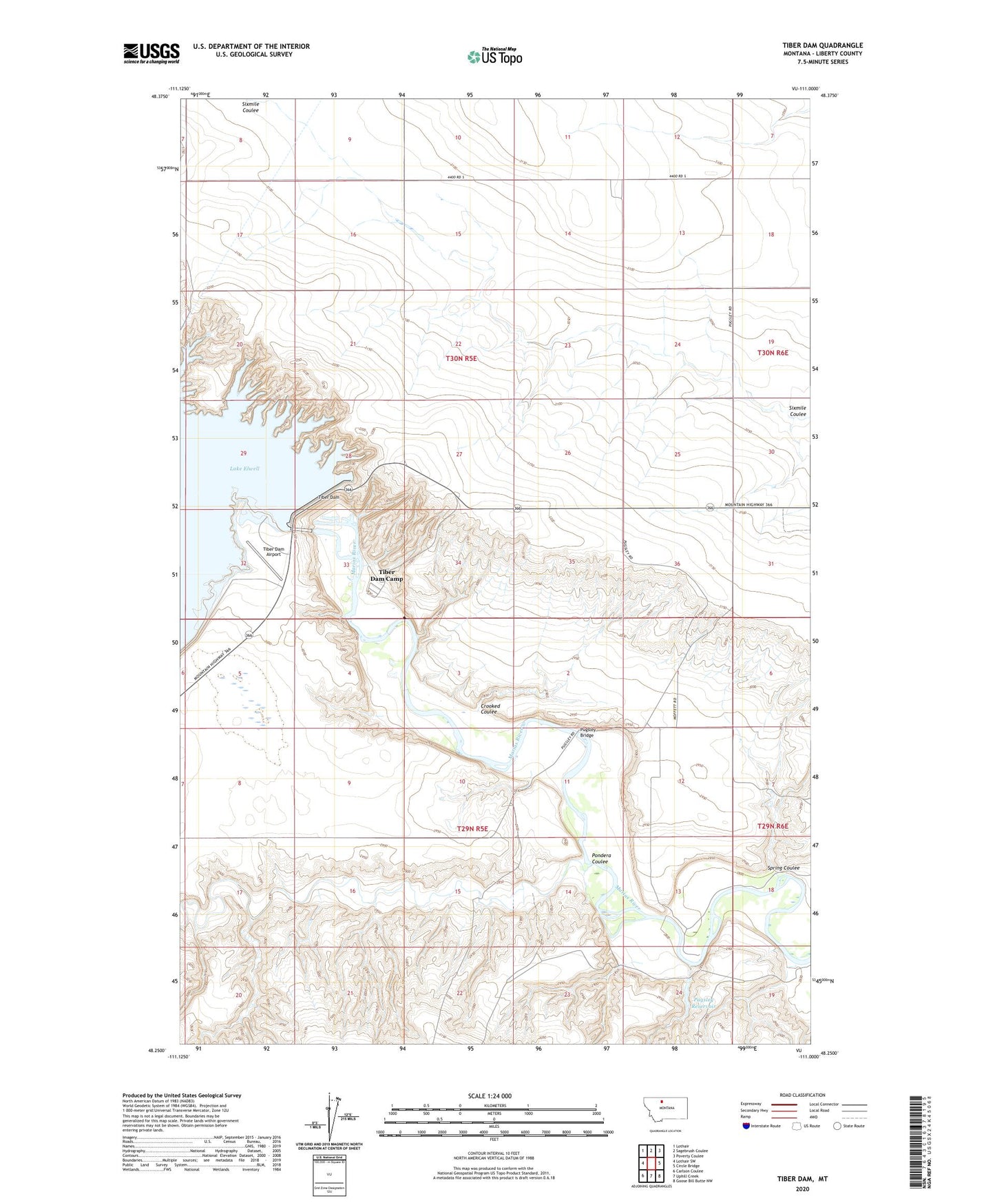
2024 topographic map quadrangle Tiber Dam in the state of Montana. Scale: 1:24000. Based on the newly updated USGS 7.5' US Topo map series, this map is in the following counties: Liberty. The map contains contour data, water features, and other items you are used to seeing on USGS maps, but also has updated roads and other features. This is the next generation of topographic maps. Printed on high-quality waterproof paper with UV fade-resistant inks.
Quads adjacent to this one:
West: Lothair SW
Northwest: Lothair
North: Sagebrush Coulee
Northeast: Poverty Coulee
East: Circle Bridge
Southeast: Goose Bill Butte NW
South: Uphill Creek
Southwest: Carlson Coulee
This map covers the same area as the classic USGS quad with code o48111c1.
Contains the following named places: 30N05E15CBBA01 Well, Crooked Coulee, Island Area Campground, Pondera Coulee, Pugsley Bridge, Pugsley Reservoir, Sanford Park, Sanford Park Campground, Spring Coulee, Tiber Dam, Tiber Dam Airport, Tiber Dam Camp, Tiber Marina Campground, VFW Campground