MyTopo
Lower Red Rock Lake Montana US Topo Map
Couldn't load pickup availability
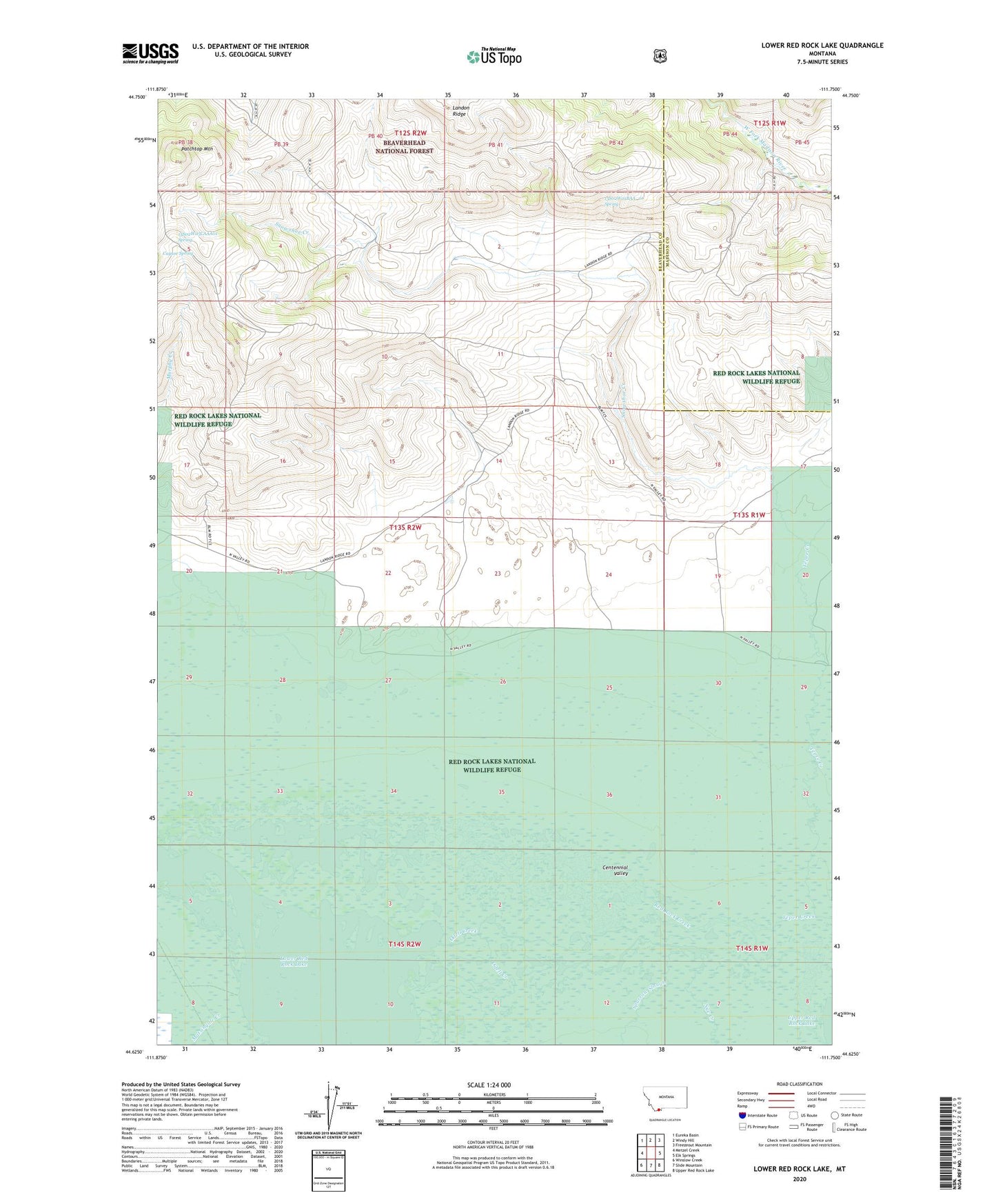
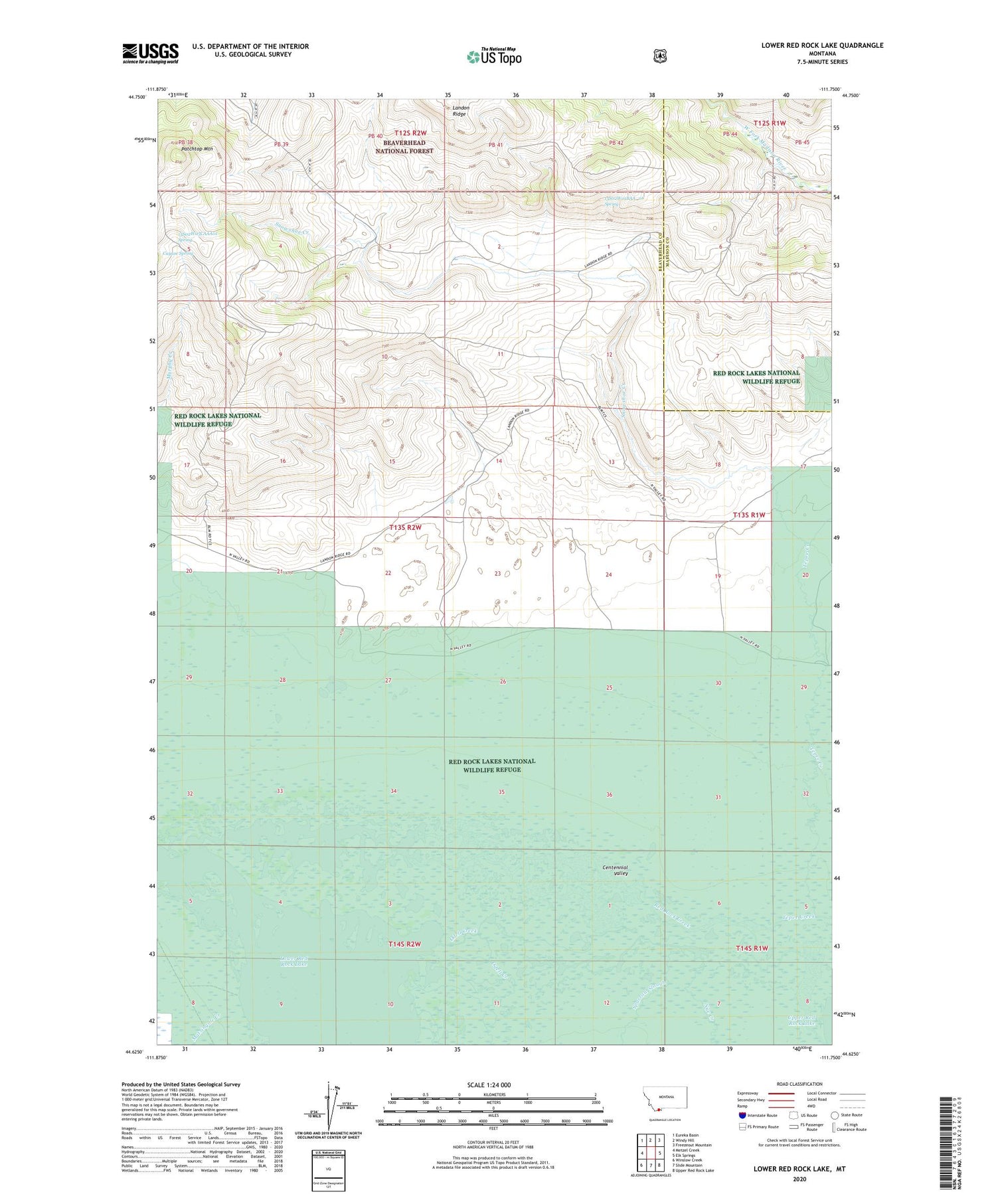
2020 topographic map quadrangle Lower Red Rock Lake in the state of Montana. Scale: 1:24000. Based on the newly updated USGS 7.5' US Topo map series, this map is in the following counties: Beaverhead, Madison. The map contains contour data, water features, and other items you are used to seeing on USGS maps, but also has updated roads and other features. This is the next generation of topographic maps. Printed on high-quality waterproof paper with UV fade-resistant inks.
Quads adjacent to this one:
West: Metzel Creek
Northwest: Eureka Basin
North: Windy Hill
Northeast: Freezeout Mountain
East: Elk Springs
Southeast: Upper Red Rock Lake
South: Slide Mountain
Southwest: Winslow Creek
Contains the following named places: 13S01W19BADD01 Well, 13S01W30CBA_01 Well, 13S02W01BAA_01 Spring, 13S02W05CAAA01 Spring, 13S02W12BCCC01 Well, 13S02W12CBBA01 Well, 13S02W14BDCA01 Well, 13S02W20AACA01 Well, 13S02W20ADCA01 Well, 13S02W24DCCC01 Well, 13S02W26DDDB01 Well, Cayuse Spring, Goble Ranch, Landon Camp, Landon Ridge, Lower Red Rock Lake, Matsingale Creek, Nye Creek, Odell Creek, Patchtop Mountain, Red Rock Lakes National Wildlife Refuge, Red Rock Lakes Wilderness, Snowshoe Creek, Sparrow Slough, Tepee Creek