MyTopo
Upper Red Rock Lake Montana US Topo Map
Couldn't load pickup availability
Also explore the Upper Red Rock Lake Forest Service Topo of this same quad for updated USFS data
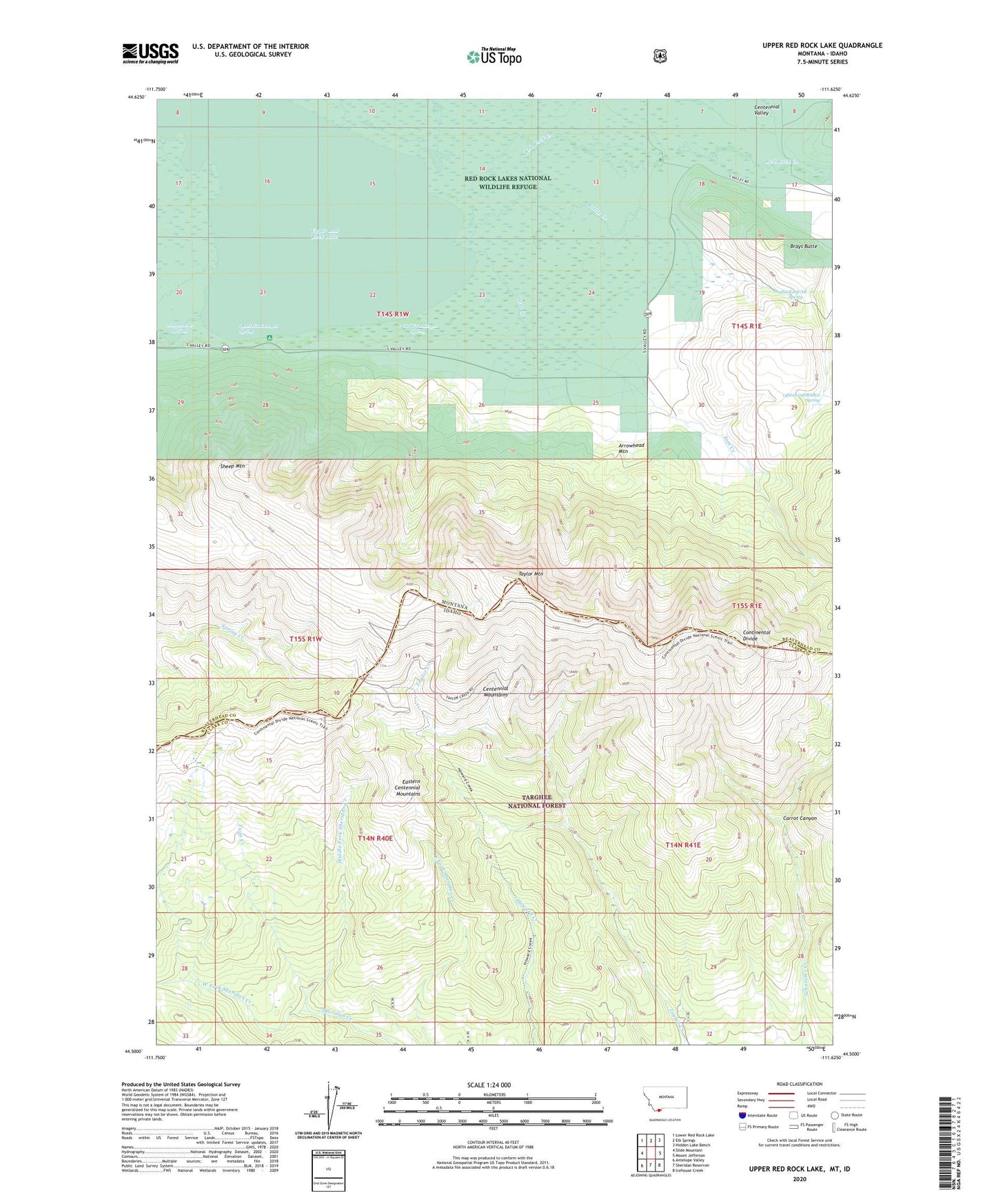
2024 topographic map quadrangle Upper Red Rock Lake in the states of Idaho, Montana. Scale: 1:24000. Based on the newly updated USGS 7.5' US Topo map series, this map is in the following counties: Beaverhead, Clark. The map contains contour data, water features, and other items you are used to seeing on USGS maps, but also has updated roads and other features. This is the next generation of topographic maps. Printed on high-quality waterproof paper with UV fade-resistant inks.
Quads adjacent to this one:
West: Slide Mountain
Northwest: Lower Red Rock Lake
North: Elk Springs
Northeast: Hidden Lake Bench
East: Mount Jefferson
Southeast: Icehouse Creek
South: Sheridan Reservoir
Southwest: Antelope Valley
This map covers the same area as the classic USGS quad with code o44111e6.
Contains the following named places: 14S01E17BDB_01 Well, 14S01E20CAB_01 Spring, 14S01E29DBAB01 Spring, 14S01W21CDD_01 Spring, 14S01W22DDD_01 Spring, Arrowhead Mountain, Battle Creek, Brays Butte, Carrot Canyon, Elk Creek, Frog Spring, Hanson Ranch, Howard Creek Trail, Middle Fork Sheridan Creek, Middle Fork Trail, Shambow Pond, Sheep Mountain, Sheridan Creek Trail, Taylor Creek Trail, Taylor Mountain, Taylor Mountain Mine, Tom Creek, Twin Creek, Upper Lake Campground, Upper Red Rock Lake, West Fork Sheridan Creek