MyTopo
Mailbox Hill Montana US Topo Map
Couldn't load pickup availability
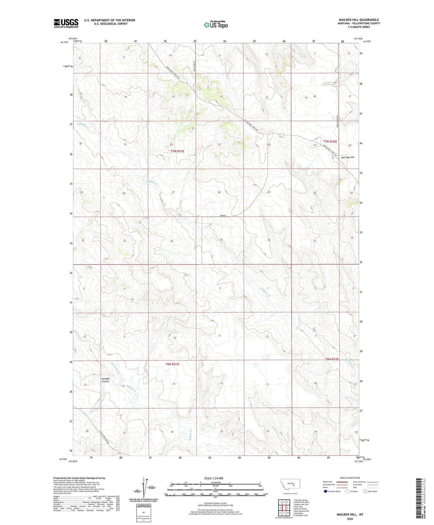
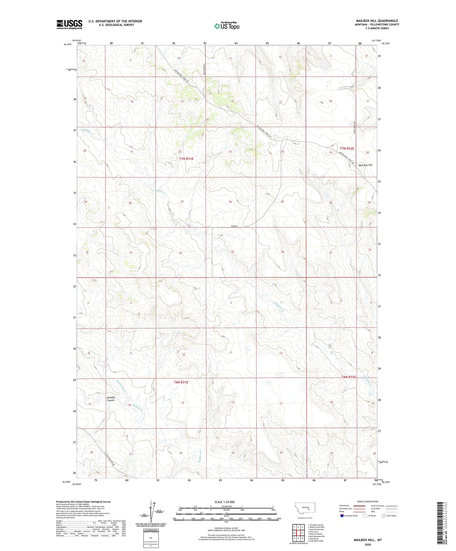
2020 topographic map quadrangle Mailbox Hill in the state of Montana. Scale: 1:24000. Based on the newly updated USGS 7.5' US Topo map series, this map is in the following counties: Yellowstone. The map contains contour data, water features, and other items you are used to seeing on USGS maps, but also has updated roads and other features. This is the next generation of topographic maps. Printed on high-quality waterproof paper with UV fade-resistant inks.
Quads adjacent to this one:
West: Pine View
Northwest: Chandler Spring
North: Weed Creek West
Northeast: Weed Creek East
East: Mexican Buttes
Southeast: Coal Bank Creek
South: Mud Butte
Southwest: Bull Mountain NW
Contains the following named places: 06N31E01CADB01 Well, 06N31E02BBAA01 Well, 06N31E13CAAC01 Well, 06N31E14BACD01 Well, 06N31E14DBAC01 Well, 07N32E17C___01 Well, 08N31E09CCCC01 Well, 59024, Deadman Creek, Kendall Coulee, Mail Box Hill