MyTopo
Weed Creek East Montana US Topo Map
Couldn't load pickup availability
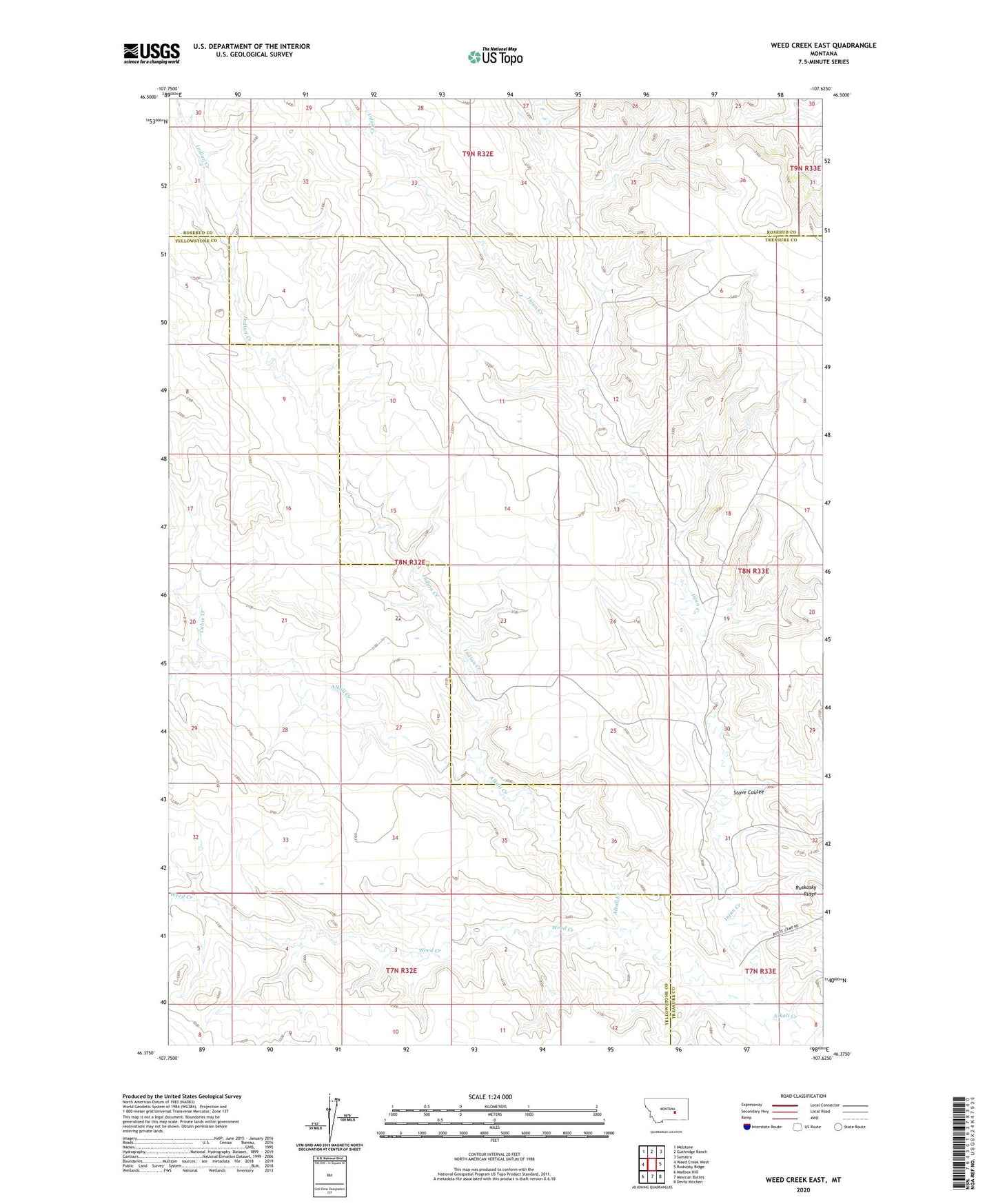
2024 topographic map quadrangle Weed Creek East in the state of Montana. Scale: 1:24000. Based on the newly updated USGS 7.5' US Topo map series, this map is in the following counties: Treasure, Yellowstone, Rosebud. The map contains contour data, water features, and other items you are used to seeing on USGS maps, but also has updated roads and other features. This is the next generation of topographic maps. Printed on high-quality waterproof paper with UV fade-resistant inks.
Quads adjacent to this one:
West: Weed Creek West
Northwest: Melstone
North: Guthridge Ranch
Northeast: Sumatra
East: Ruskosky Ridge
Southeast: Devils Kitchen
South: Mexican Buttes
Southwest: Mailbox Hill
This map covers the same area as the classic USGS quad with code o46107d6.
Contains the following named places: 07N33E06DBD_01 Well, 08N33E05BDBD01 Well, 08N33E19BCDD01 Well, Cabin Creek, Indian Creek, Injun Creek, McLane School, Stove Coulee, Weed Creek