MyTopo
Melton Ranch Montana US Topo Map
Couldn't load pickup availability
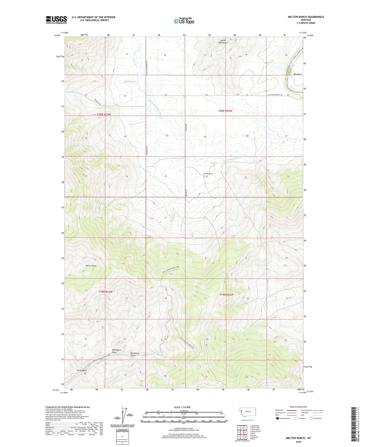
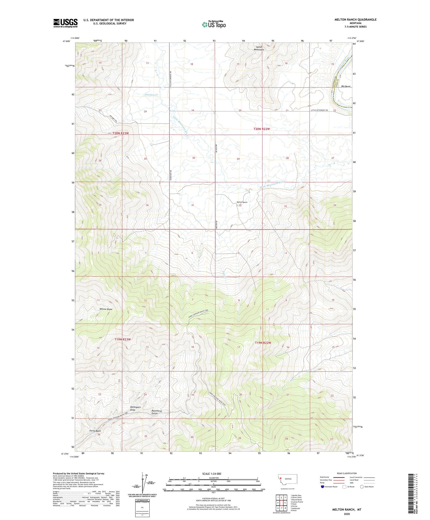
2020 topographic map quadrangle Melton Ranch in the state of Montana. Scale: 1:24000. Based on the newly updated USGS 7.5' US Topo map series, this map is in the following counties: Sanders, Lake. The map contains contour data, water features, and other items you are used to seeing on USGS maps, but also has updated roads and other features. This is the next generation of topographic maps. Printed on high-quality waterproof paper with UV fade-resistant inks.
Quads adjacent to this one:
West: Camas Prairie
Northwest: Markle Pass
North: Oliver Point
Northeast: Round Butte
East: Sloan
Southeast: Dixon
South: McDonald
Southwest: Perma
Contains the following named places: 20N22W21CBDA01 Well, 20N22W28ABCB01 Well, 20N22W28ABCB02 Well, 20N22W30AAC_01 Well, 20N22W30DADD01 Well, Anderson Ranch, Davenport Draw, Haynes Ranch, Jennings Ranch, Melton Ranch, Pine Creek, Whiskey Creek