MyTopo
McDonald Montana US Topo Map
Couldn't load pickup availability
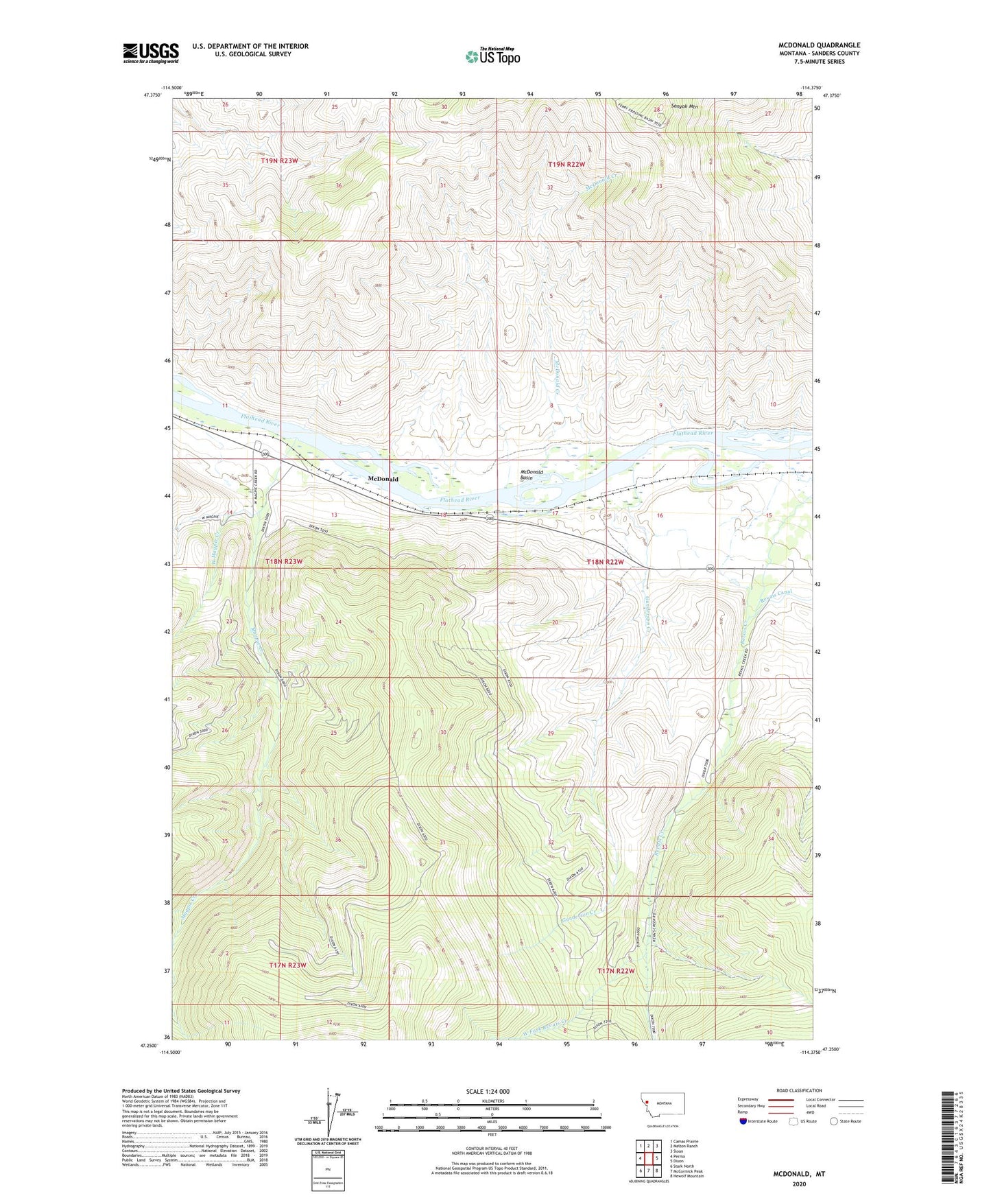
2024 topographic map quadrangle McDonald in the state of Montana. Scale: 1:24000. Based on the newly updated USGS 7.5' US Topo map series, this map is in the following counties: Sanders. The map contains contour data, water features, and other items you are used to seeing on USGS maps, but also has updated roads and other features. This is the next generation of topographic maps. Printed on high-quality waterproof paper with UV fade-resistant inks.
Quads adjacent to this one:
West: Perma
Northwest: Camas Prairie
North: Melton Ranch
Northeast: Sloan
East: Dixon
Southeast: Hewolf Mountain
South: McCormick Peak
Southwest: Stark North
This map covers the same area as the classic USGS quad with code o47114c4.
Contains the following named places: 18N22W21BADC01 Well, Green Mountain Mine, Gunderson Creek, Magpie Creek, McDonald, McDonald Basin, McDonald Creek, Revais Creek, Sonyok Mountain, West Fork Revais Creek, West Magpie Creek