MyTopo
Mineral Ridge Montana US Topo Map
Couldn't load pickup availability
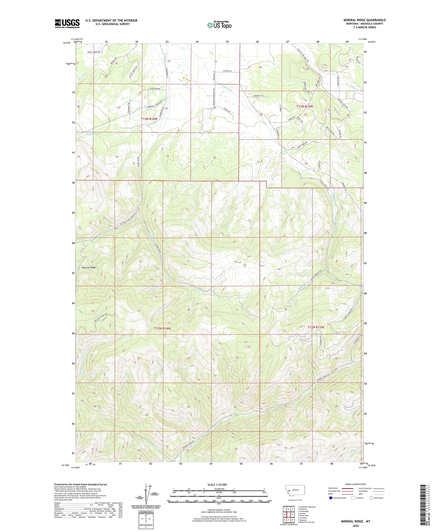
2024 topographic map quadrangle Mineral Ridge in the state of Montana. Scale: 1:24000. Based on the newly updated USGS 7.5' US Topo map series, this map is in the following counties: Missoula. The map contains contour data, water features, and other items you are used to seeing on USGS maps, but also has updated roads and other features. This is the next generation of topographic maps. Printed on high-quality waterproof paper with UV fade-resistant inks.
Quads adjacent to this one:
West: Clinton
Northwest: Sunflower Mountain
North: Potomac
Northeast: Greenough
East: Union Peak
Southeast: Medicine Tree Hill
South: Ravenna
Southwest: Iris Point
This map covers the same area as the classic USGS quad with code o46113g5.
Contains the following named places: Arkansas Creek, Ashby Creek, Camas Airport, Charcoal Mine, Chloride Mine, Linton Mine, Mineral Ridge, Smith Creek, SW Section 10 Mine