MyTopo
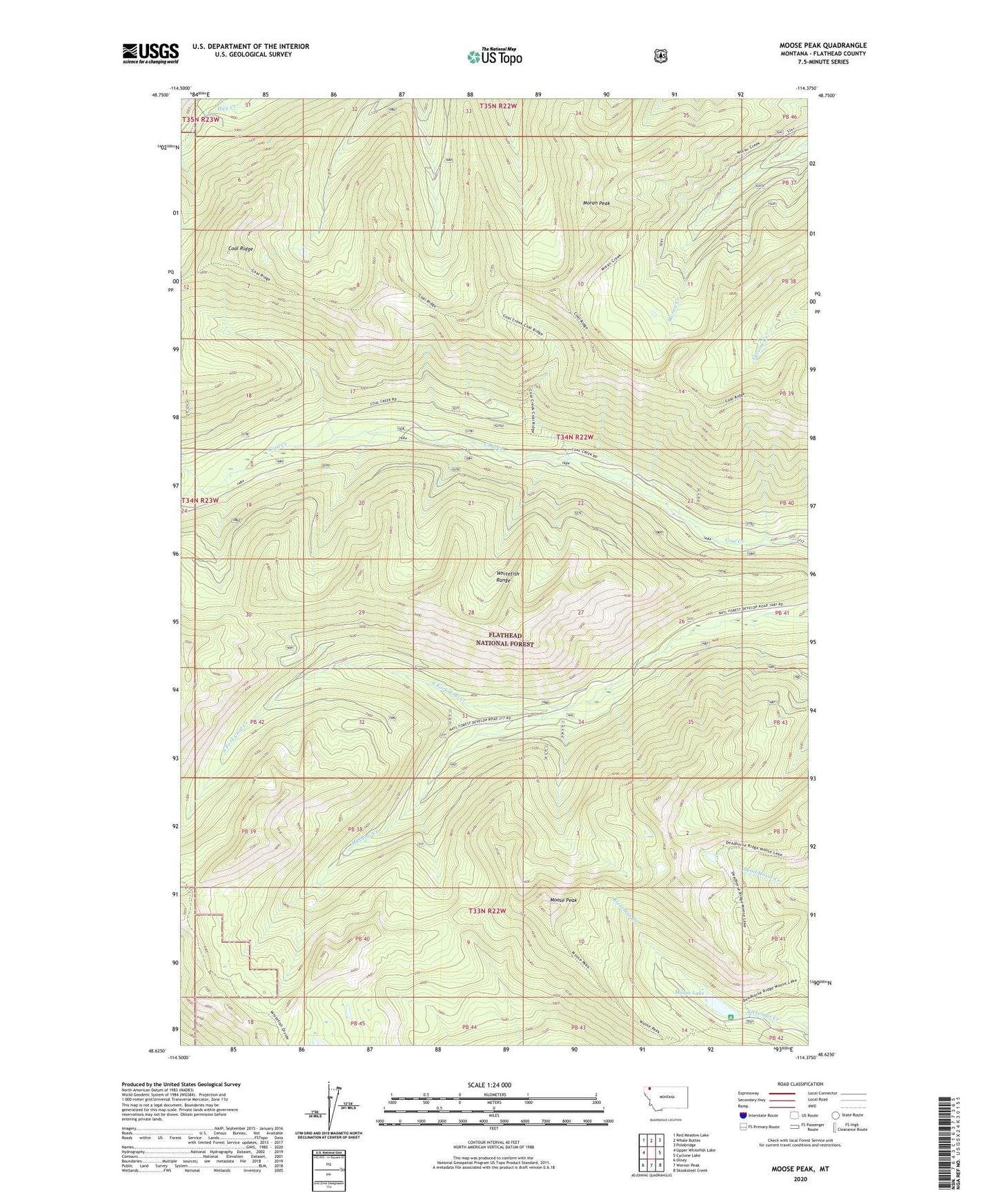
Moose Peak Montana US Topo Map
Couldn't load pickup availability
Also explore the Moose Peak Forest Service Topo of this same quad for updated USFS data
2024 topographic map quadrangle Moose Peak in the state of Montana. Scale: 1:24000. Based on the newly updated USGS 7.5' US Topo map series, this map is in the following counties: Flathead. The map contains contour data, water features, and other items you are used to seeing on USGS maps, but also has updated roads and other features. This is the next generation of topographic maps. Printed on high-quality waterproof paper with UV fade-resistant inks.
Quads adjacent to this one:
West: Upper Whitefish Lake
Northwest: Red Meadow Lake
North: Whale Buttes
Northeast: Polebridge
East: Cyclone Lake
Southeast: Skookoleel Creek
South: Werner Peak
Southwest: Olney
This map covers the same area as the classic USGS quad with code o48114f4.
Contains the following named places: Coal Ridge, Coal Ridge Lookout Tower, Columbia Falls Division, Mathias Creek, Moose Lake, Moose Lake Campground, Moose Peak, Moran Peak