MyTopo
Nashua Montana US Topo Map
Couldn't load pickup availability
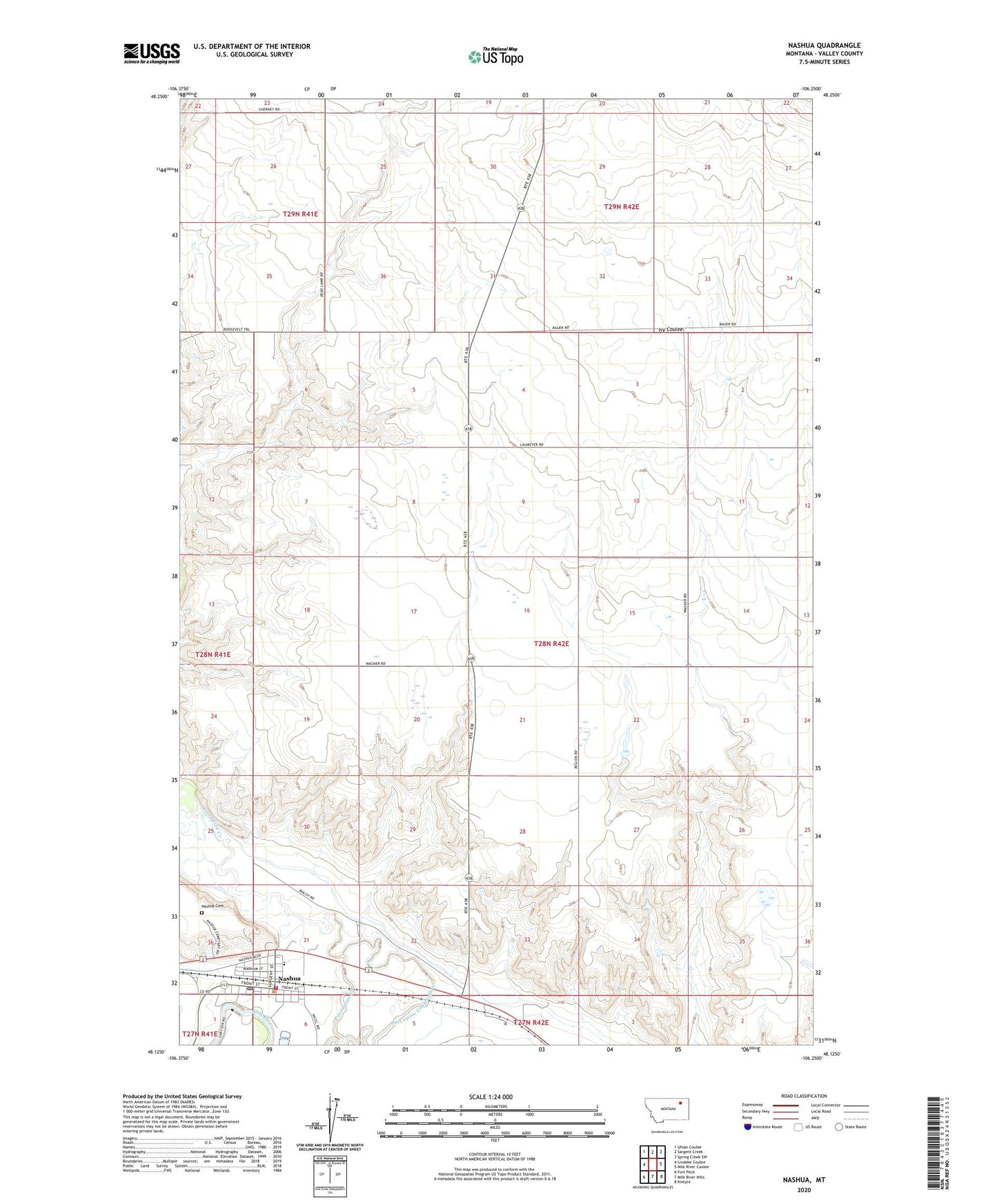
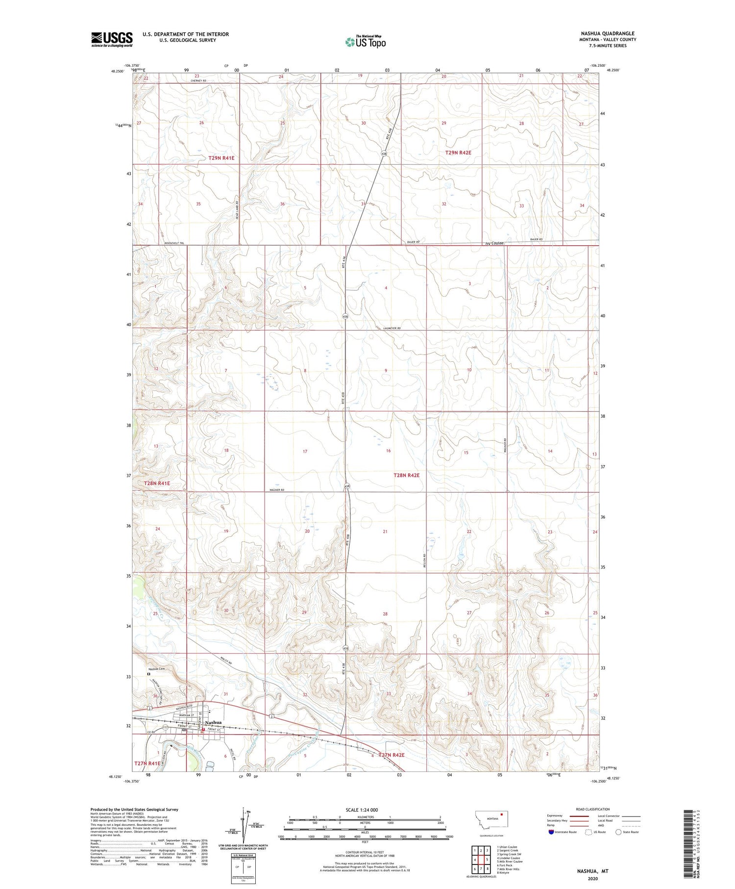
2020 topographic map quadrangle Nashua in the state of Montana. Scale: 1:24000. Based on the newly updated USGS 7.5' US Topo map series, this map is in the following counties: Valley. The map contains contour data, water features, and other items you are used to seeing on USGS maps, but also has updated roads and other features. This is the next generation of topographic maps. Printed on high-quality waterproof paper with UV fade-resistant inks.
Quads adjacent to this one:
West: Lindeke Coulee
Northwest: Uhlan Coulee
North: Sargent Creek
Northeast: Spring Creek SW
East: Milk River Coulee
Southeast: Kintyre
South: Milk River Hills
Southwest: Fort Peck
Contains the following named places: 27N42E04ABBA01 Well, 27N42E04ABCC01 Well, 28N42E04CBAA01 Well, 28N42E05BBDC01 Well, 28N42E06BACD01 Well, 28N42E20AA__01 Well, 28N42E29AACB01 Well, 28N42E29AD__01 Well, 28N42E31BD__01 Well, 28N42E31DD__01 Well, 28N42E32DD__01 Well, 28N42E33CDDD01 Well, Big Four School, Church of Nazarene of Nashua, Farmers Produce Company Elevator, Fort Peck Reservation Number 6 Dam, Harvest States Cooperatives Elevator, Imperial Elevator, Lions Park, Nashua, Nashua Cemetery, Nashua Post Office, Nashua Volunteer Fire Department, Occident Elevator, Our Redeemers Lutheran Church, Peavey Company Elevator, Porcupine Creek Overflow, Queen of Angels Catholic Church, Town of Nashua, Vale School, Warren Memorial Park, Winter Truesdell Elevator