MyTopo
Sargent Creek Montana US Topo Map
Couldn't load pickup availability
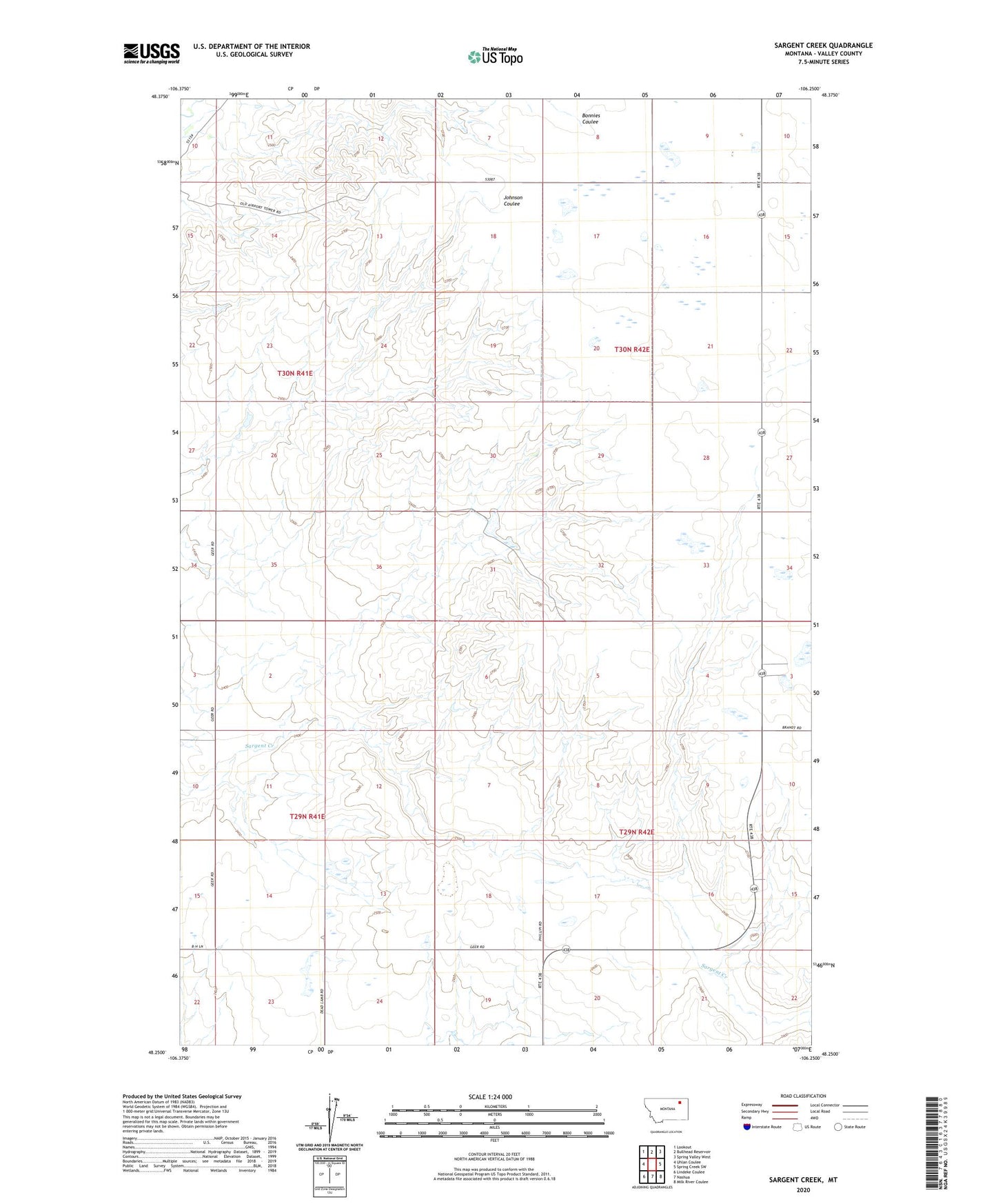
2024 topographic map quadrangle Sargent Creek in the state of Montana. Scale: 1:24000. Based on the newly updated USGS 7.5' US Topo map series, this map is in the following counties: Valley. The map contains contour data, water features, and other items you are used to seeing on USGS maps, but also has updated roads and other features. This is the next generation of topographic maps. Printed on high-quality waterproof paper with UV fade-resistant inks.
Quads adjacent to this one:
West: Uhlan Coulee
Northwest: Lookout
North: Bullhead Reservoir
Northeast: Spring Valley West
East: Spring Creek SW
Southeast: Milk River Coulee
South: Nashua
Southwest: Lindeke Coulee
This map covers the same area as the classic USGS quad with code o48106c3.
Contains the following named places: 29N42E03BCCC01 Well, 29N42E15CAAB01 Well, 30N42E33DDDD01 Well, 59248, Bjorkland School, Fort Peck Reservation Number 4 Dam, Shamrock School