
MyTopo
Ophir Creek Montana US Topo Map
Couldn't load pickup availability
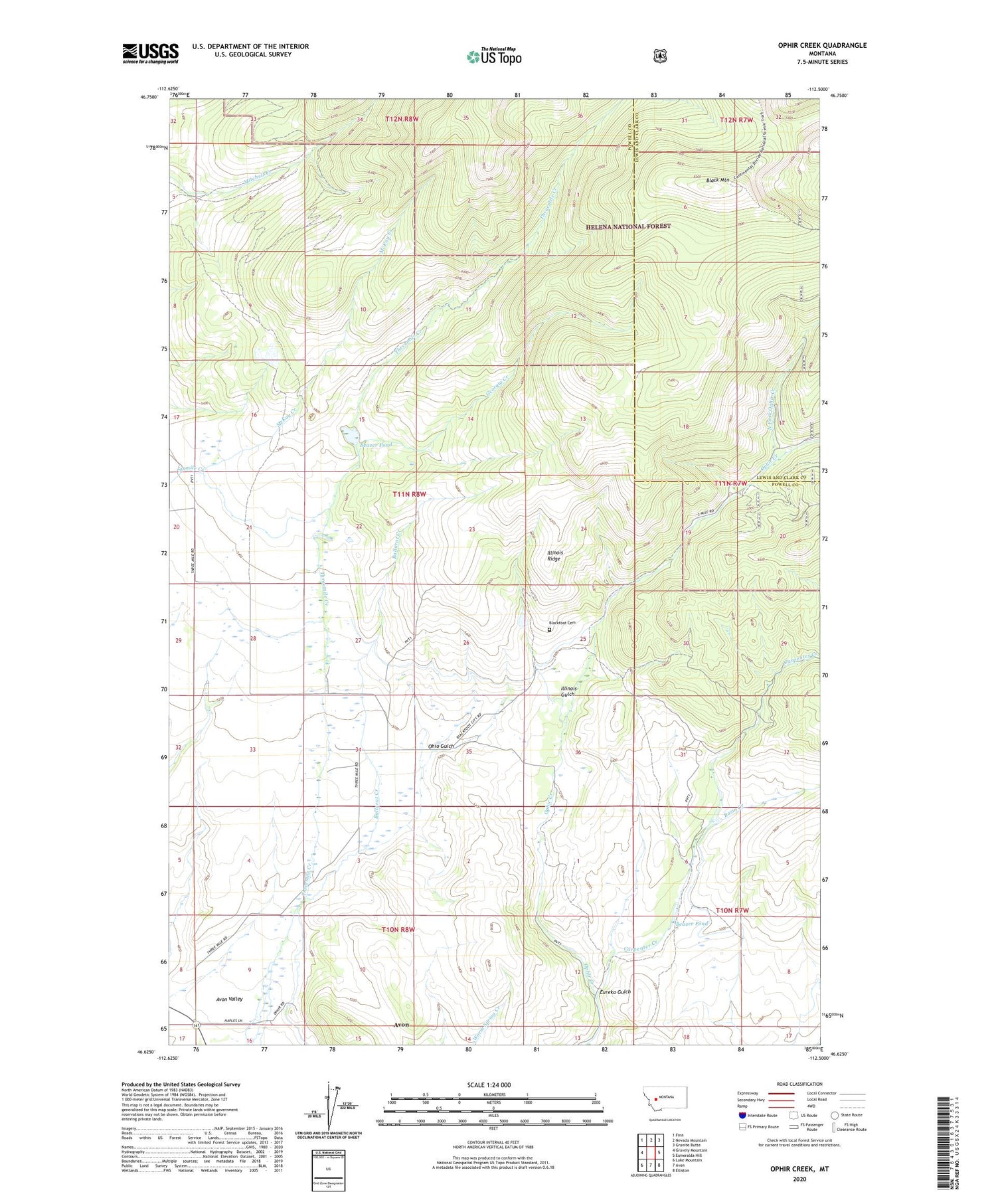
2020 topographic map quadrangle Ophir Creek in the state of Montana. Scale: 1:24000. Based on the newly updated USGS 7.5' US Topo map series, this map is in the following counties: Powell, Lewis and Clark. The map contains contour data, water features, and other items you are used to seeing on USGS maps, but also has updated roads and other features. This is the next generation of topographic maps. Printed on high-quality waterproof paper with UV fade-resistant inks.
Quads adjacent to this one:
West: Gravely Mountain
Northwest: Finn
North: Nevada Mountain
Northeast: Granite Butte
East: Esmeralda Hill
Southeast: Elliston
South: Avon
Southwest: Luke Mountain
Contains the following named places: 10N08W04ADDA01 Well, 10N08W04ADDB01 Well, 10N08W08DDBC01 Well, 10N08W08DDCB01 Well, 11N08W20ACAC01 Well, 11N08W34AACC01 Well, 11N08W34BBAB01 Well, 11N08W34BDCC01 Well, 59713, Avon Census Designated Place, Ballarat Creek, Basin Creek, Beaver Pond, Beaver Pond Dam, Black Mountain, Blackfoot Cemetery, Blackfoot City, Carpenters Bar Post Office, Eureka Gulch, Georgia Creek, Gravely Dam, Illinois Gulch, Illinois Ridge, Lost Cabin, McDonald, McGillvary, NE NE Section 19 Mine, NE NW Section 32 Mine, NE SW Section 29 Mine, North Fork Ophir Creek, NW SE Section 20 Mine, Ohio Gulch, Ophir Creek, Ophir Post Office, Ophir School, Quigley, SE NW Section 17 Mine, SE NW Section 20 Mine, Size Six Foot Dam, SW SW Section 35 Mine, Victory Mine, Victory/Evening Star Mine


