MyTopo
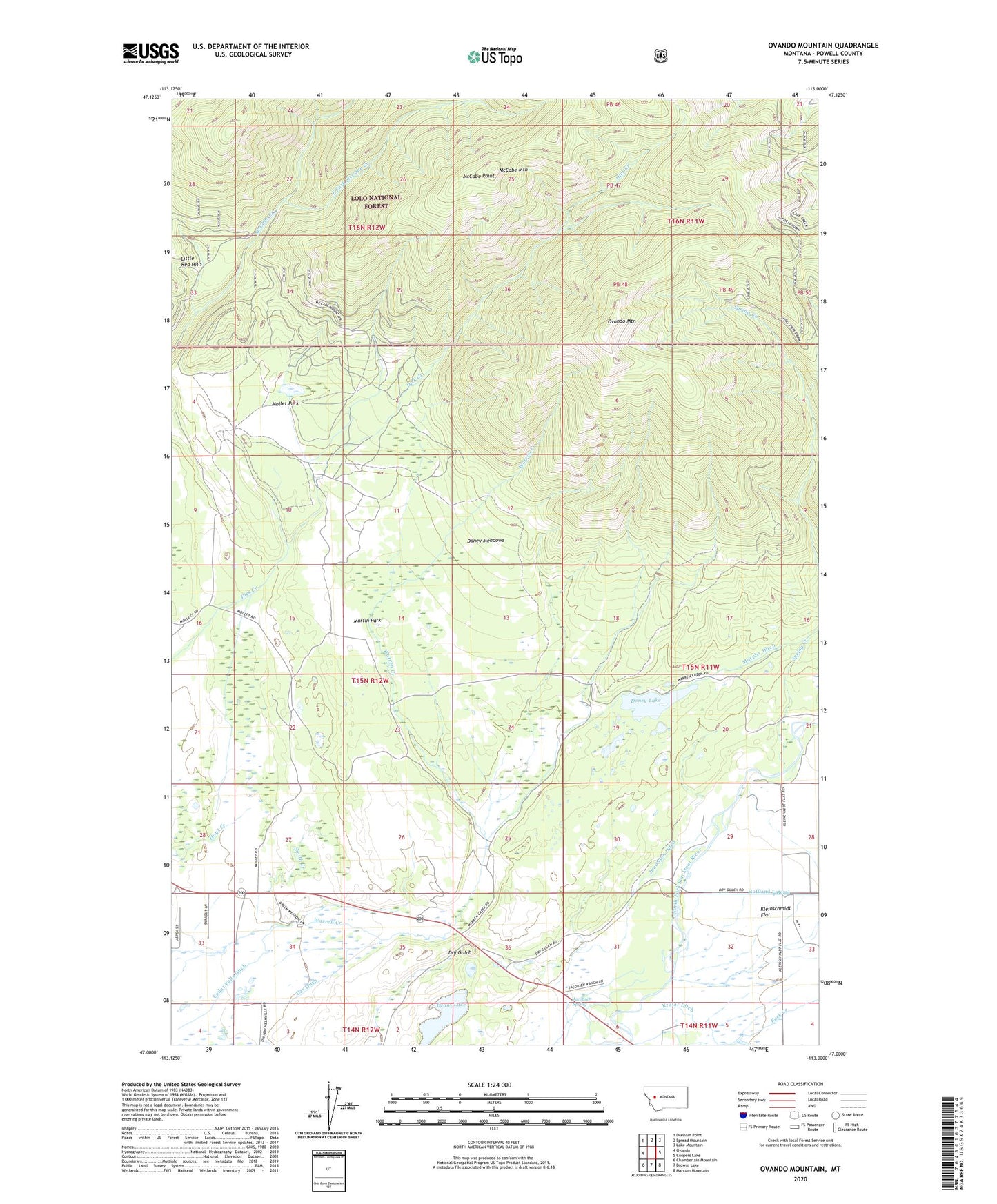
Ovando Mountain Montana US Topo Map
Couldn't load pickup availability
Also explore the Ovando Mountain Forest Service Topo of this same quad for updated USFS data
2024 topographic map quadrangle Ovando Mountain in the state of Montana. Scale: 1:24000. Based on the newly updated USGS 7.5' US Topo map series, this map is in the following counties: Powell. The map contains contour data, water features, and other items you are used to seeing on USGS maps, but also has updated roads and other features. This is the next generation of topographic maps. Printed on high-quality waterproof paper with UV fade-resistant inks.
Quads adjacent to this one:
West: Ovando
Northwest: Dunham Point
North: Spread Mountain
Northeast: Lake Mountain
East: Coopers Lake
Southeast: Marcum Mountain
South: Browns Lake
Southwest: Chamberlain Mountain
This map covers the same area as the classic USGS quad with code o47113a1.
Contains the following named places: 15N11W28BBBB01 Well, 15N11W29BDCA01 Well, 15N11W31CDBA01 Well, 15N11W32BBAB01 Well, 15N12W25CADD01 Well, 15N12W25CDAD01 Well, 15N12W36BCDD01 Well, 15N12W36DDDA01 Well, 15N13W12CACA01 Well, 59854, Blackfoot Clearwater Game Range, Blackfoot Valley Conservation Area, Cedar Falls Ditch, Copenhaver Park, Copenhaver Rest Area, Day Ditch, Doney Lake, Doney Lake Number 2 Dam, Doney Meadows, East Fork McCabe Creek, Evans Lake, Evans Lake Dam, Flat School, Geary, Hoffland Lateral, Jacobsen Ditch, Jacobsen Ranch, Jacobsen Spring, Krutar Ditch, Martin Park, McCabe Mountain, McCabe Point, Mollet Park, Murphy Ditch, Murphy Ranch, Ovando Mountain, Smith Creek, Spring Creek


