MyTopo
Steamboat Butte Montana US Topo Map
Couldn't load pickup availability
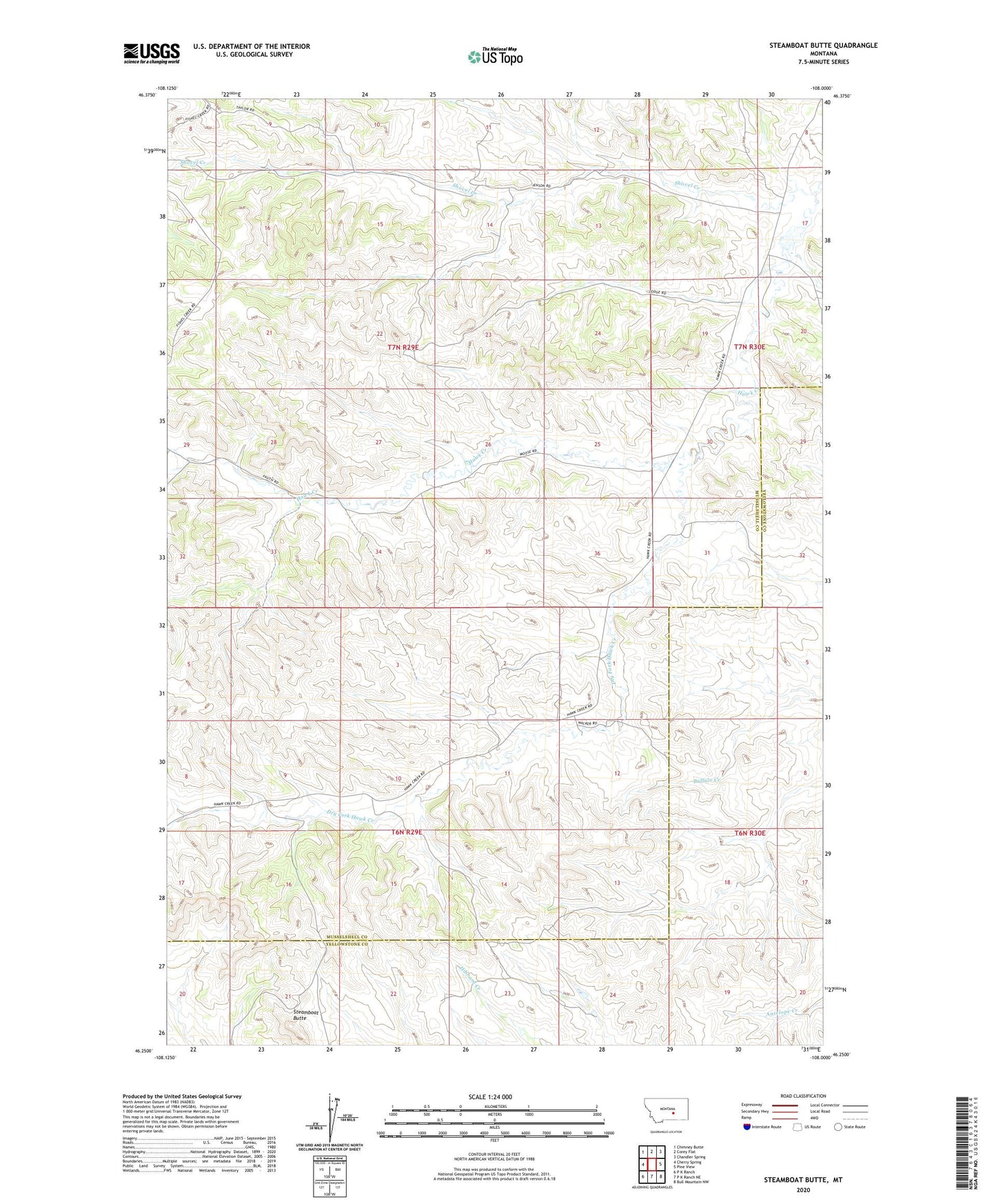
2024 topographic map quadrangle Steamboat Butte in the state of Montana. Scale: 1:24000. Based on the newly updated USGS 7.5' US Topo map series, this map is in the following counties: Musselshell, Yellowstone. The map contains contour data, water features, and other items you are used to seeing on USGS maps, but also has updated roads and other features. This is the next generation of topographic maps. Printed on high-quality waterproof paper with UV fade-resistant inks.
Quads adjacent to this one:
West: Cherry Spring
Northwest: Chimney Butte
North: Corey Flat
Northeast: Chandler Spring
East: Pine View
Southeast: Bull Mountain NW
South: P K Ranch NE
Southwest: P K Ranch
This map covers the same area as the classic USGS quad with code o46108c1.
Contains the following named places: 06N29E04BBCB01 Well, 06N29E05AADB01 Well, 06N29E11BDAD01 Well, 07N29E21CCCC01 Well, Dry Fork Hawk Creek, Shovel Creek, Steamboat Butte, Stephen Number 1 Dam