MyTopo
Pender Coulee Montana US Topo Map
Couldn't load pickup availability
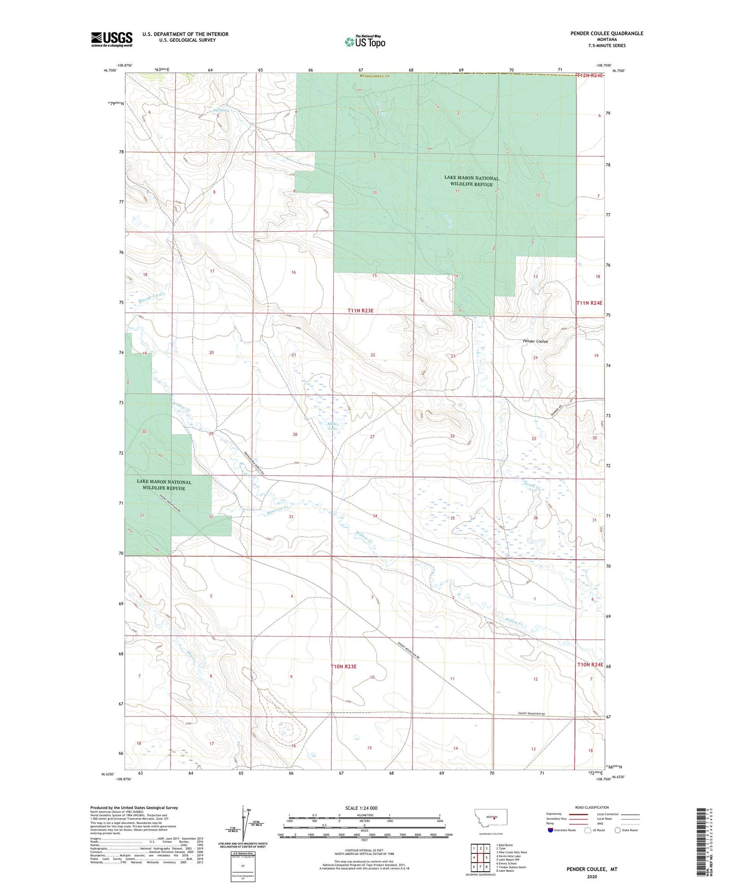
2020 topographic map quadrangle Pender Coulee in the state of Montana. Scale: 1:24000. Based on the newly updated USGS 7.5' US Topo map series, this map is in the following counties: Musselshell, Fergus. The map contains contour data, water features, and other items you are used to seeing on USGS maps, but also has updated roads and other features. This is the next generation of topographic maps. Printed on high-quality waterproof paper with UV fade-resistant inks.
Quads adjacent to this one:
West: Devils Hole Lake
Northwest: Bald Butte
North: Tyler
Northeast: Pike Creek Hills West
East: Lake Mason NW
Southeast: Lake Mason
South: Timber Buttes North
Southwest: Emory School
Contains the following named places: 10N23E02BBC_01 Well, 10N23E04ADA_01 Well, 10N23E10A___01 Well, Big Spring, Highfield Post Office, Joe Toe Dam, Lake Mason National Wildlife Refuge, Miller Lake, Minerva Creek, Pender Coulee, Whoop-Up Creek