MyTopo
Tyler Montana US Topo Map
Couldn't load pickup availability
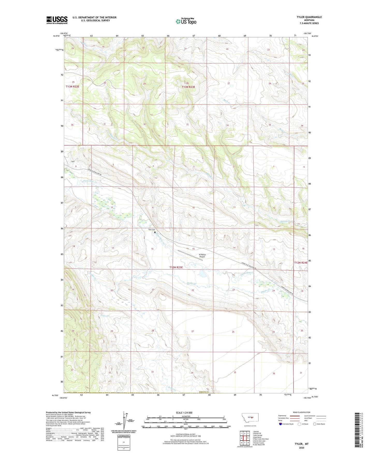
2024 topographic map quadrangle Tyler in the state of Montana. Scale: 1:24000. Based on the newly updated USGS 7.5' US Topo map series, this map is in the following counties: Fergus, Musselshell. The map contains contour data, water features, and other items you are used to seeing on USGS maps, but also has updated roads and other features. This is the next generation of topographic maps. Printed on high-quality waterproof paper with UV fade-resistant inks.
Quads adjacent to this one:
West: Bald Butte
Northwest: Becket
North: Becket NE
Northeast: Milk Springs
East: Pike Creek Hills West
Southeast: Lake Mason NW
South: Pender Coulee
Southwest: Devils Hole Lake
This map covers the same area as the classic USGS quad with code o46108g7.
Contains the following named places: 16 Ranch Airport, Chronister School, Durfee Creek, Honeyager School, Muppet Dam, Riddell School, Tyler, Tyler Cemetery, Tyler Post Office, Warr