MyTopo
Timber Buttes North Montana US Topo Map
Couldn't load pickup availability
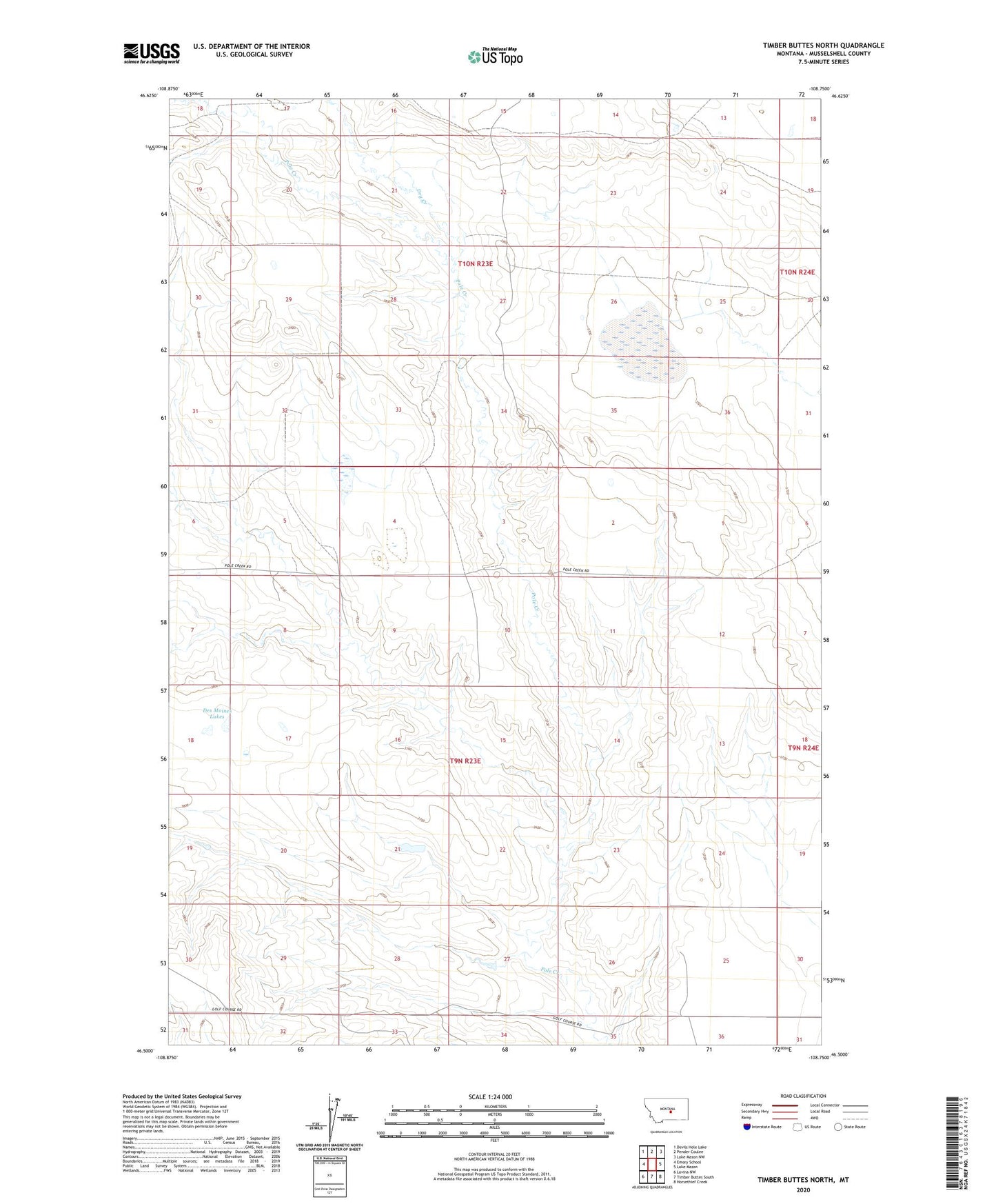
2024 topographic map quadrangle Timber Buttes North in the state of Montana. Scale: 1:24000. Based on the newly updated USGS 7.5' US Topo map series, this map is in the following counties: Musselshell. The map contains contour data, water features, and other items you are used to seeing on USGS maps, but also has updated roads and other features. This is the next generation of topographic maps. Printed on high-quality waterproof paper with UV fade-resistant inks.
Quads adjacent to this one:
West: Emory School
Northwest: Devils Hole Lake
North: Pender Coulee
Northeast: Lake Mason NW
East: Lake Mason
Southeast: Horsethief Creek
South: Timber Buttes South
Southwest: Lavina NW
This map covers the same area as the classic USGS quad with code o46108e7.
Contains the following named places: 09N23E17DCB_01 Well, 09N23E17DCB_02 Well, 09N23E21BBC_01 Well, 09N23E32BADC01 Well, 09N31E10DBCD01 Well, 10N23E32C___01 Well, 10N23E33AAC_01 Well, Des Moines Lakes, Dry Creek, Dry Lake, Pony Dam, Wheaton, Wheaton Post Office