MyTopo
Piquett Mountain Montana US Topo Map
Couldn't load pickup availability
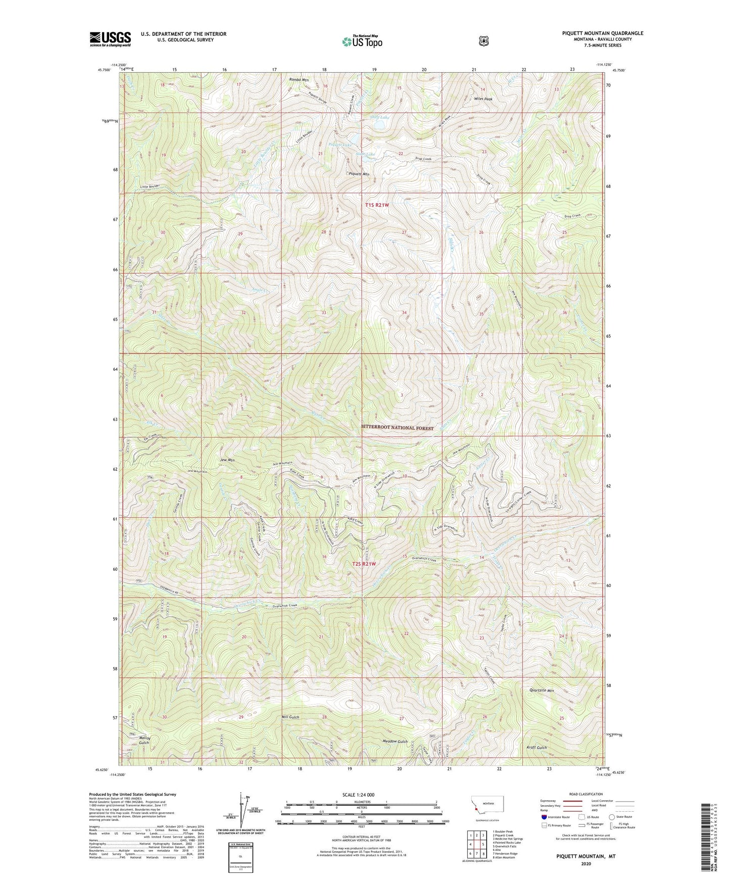
2020 topographic map quadrangle Piquett Mountain in the state of Montana. Scale: 1:24000. Based on the newly updated USGS 7.5' US Topo map series, this map is in the following counties: Ravalli. The map contains contour data, water features, and other items you are used to seeing on USGS maps, but also has updated roads and other features. This is the next generation of topographic maps. Printed on high-quality waterproof paper with UV fade-resistant inks.
Quads adjacent to this one:
West: Painted Rocks Lake
Northwest: Boulder Peak
North: Piquett Creek
Northeast: Medicine Hot Springs
East: Overwhich Falls
Southeast: Allan Mountain
South: Henderson Ridge
Southwest: Alta
Contains the following named places: Angle Creek, Antler Creek, Dan Creek, Gentile Creek, Jew Mountain, Jew Mountain Mine, Piquett Lake, Piquett Mountain, Quartzite Mountain, Rombo Mountain, Shelf Lake, Slate Lake, Steinberg Creek, Trout Creek, Wiles Peak