MyTopo
Reanus Cone Montana US Topo Map
Couldn't load pickup availability
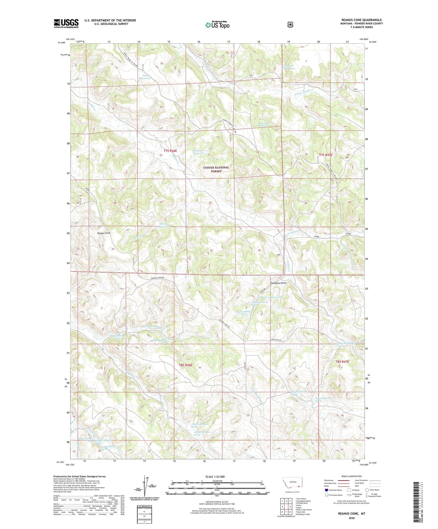
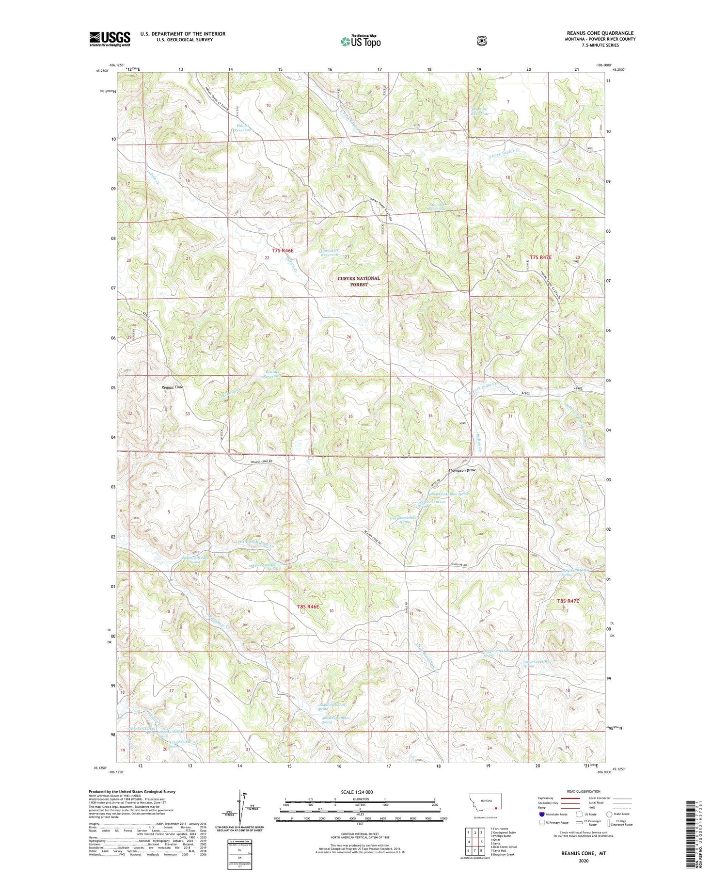
2020 topographic map quadrangle Reanus Cone in the state of Montana. Scale: 1:24000. Based on the newly updated USGS 7.5' US Topo map series, this map is in the following counties: Powder River. The map contains contour data, water features, and other items you are used to seeing on USGS maps, but also has updated roads and other features. This is the next generation of topographic maps. Printed on high-quality waterproof paper with UV fade-resistant inks.
Quads adjacent to this one:
West: Otter
Northwest: Fort Howes
North: Goodspeed Butte
Northeast: Phillips Butte
East: Sayle
Southeast: Bradshaw Creek
South: Sayle Hall
Southwest: Bear Creek School
Contains the following named places: 02S45E25DAC_01 Spring, 07S46E11CACA01 Well, 08S46E01CDAC01 Well, 08S46E02AABC01 Spring, 08S46E02ABCC01 Spring, 08S46E02BDDC01 Spring, 08S46E02DBCD01 Well, 08S46E04DACC01 Well, 08S46E04DDDB01 Spring, 08S46E05CBDC01 Well, 08S46E05DADD01 Well, 08S46E05DDAB01 Spring, 08S46E11AA__01 Well, 08S46E13AADC01 Spring, 08S46E13BAAD01 Spring, 08S46E15CDBA01 Spring, 08S46E15CDBB01 Spring, 08S46E16DABA01 Well, 08S46E17CBCD01 Well, 08S46E17CBCD02 Well, 08S46E17CDBC01 Well, 08S46E17CDCA01 Spring, 08S46E17CDDC01 Spring, 08S46E18DDAC01 Well, 08S46E18DDAC02 Well, 08S46E18DDAD01 Well, 08S46E23ABAB01 Well, 08S47E06BCAB01 Well, 08S47E07BAAB01 Spring, 08S47E07CCBD01 Well, Billup School, Howes Reservoir, Indian Creek Reservoir, Little Bradshaw Creek, North Fork Indian Creek, Pasture Creek, Reanus Cone, Reanus Creek, Reanus Reservoir, Reanus Well, Seymour Reservoir, South Fork North Prong Indian Creek, Stewart Reservoir, Thompson Draw, Yonkee Cutoff