MyTopo
Bradshaw Creek Montana US Topo Map
Couldn't load pickup availability
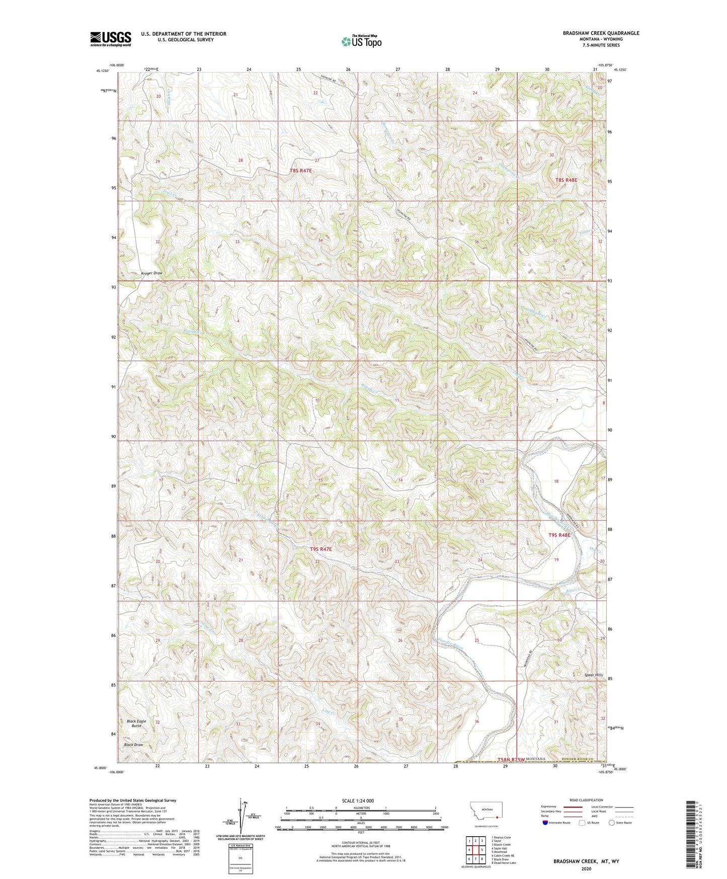
2024 topographic map quadrangle Bradshaw Creek in the state of Montana. Scale: 1:24000. Based on the newly updated USGS 7.5' US Topo map series, this map is in the following counties: Powder River, Campbell. The map contains contour data, water features, and other items you are used to seeing on USGS maps, but also has updated roads and other features. This is the next generation of topographic maps. Printed on high-quality waterproof paper with UV fade-resistant inks.
Quads adjacent to this one:
West: Sayle Hall
Northwest: Reanus Cone
North: Sayle
Northeast: Bloom Creek
East: Moorhead
Southeast: Dead Horse Lake
South: Black Draw
Southwest: Cabin Creek NE
Contains the following named places: 04N47E28CCDB01 Well, 08S48E19DA__01 Well, 09S48E07BC__01 Well, Bitter Creek, Black Eagle Butte, Bradshaw Creek, Dry Creek, Rough Creek, Spear Hills, Timber Creek, Trail Creek