MyTopo
Saco Montana US Topo Map
Couldn't load pickup availability
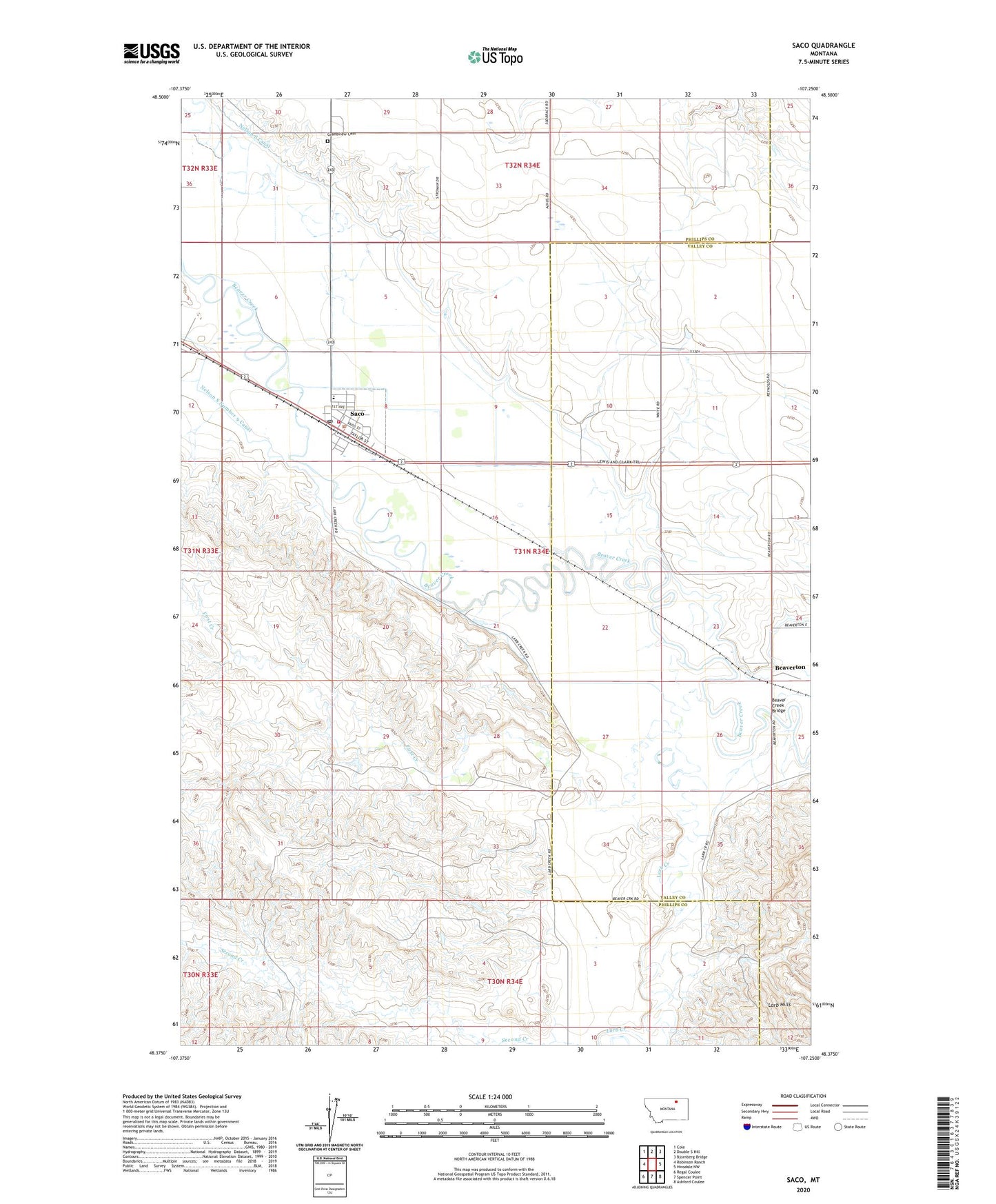
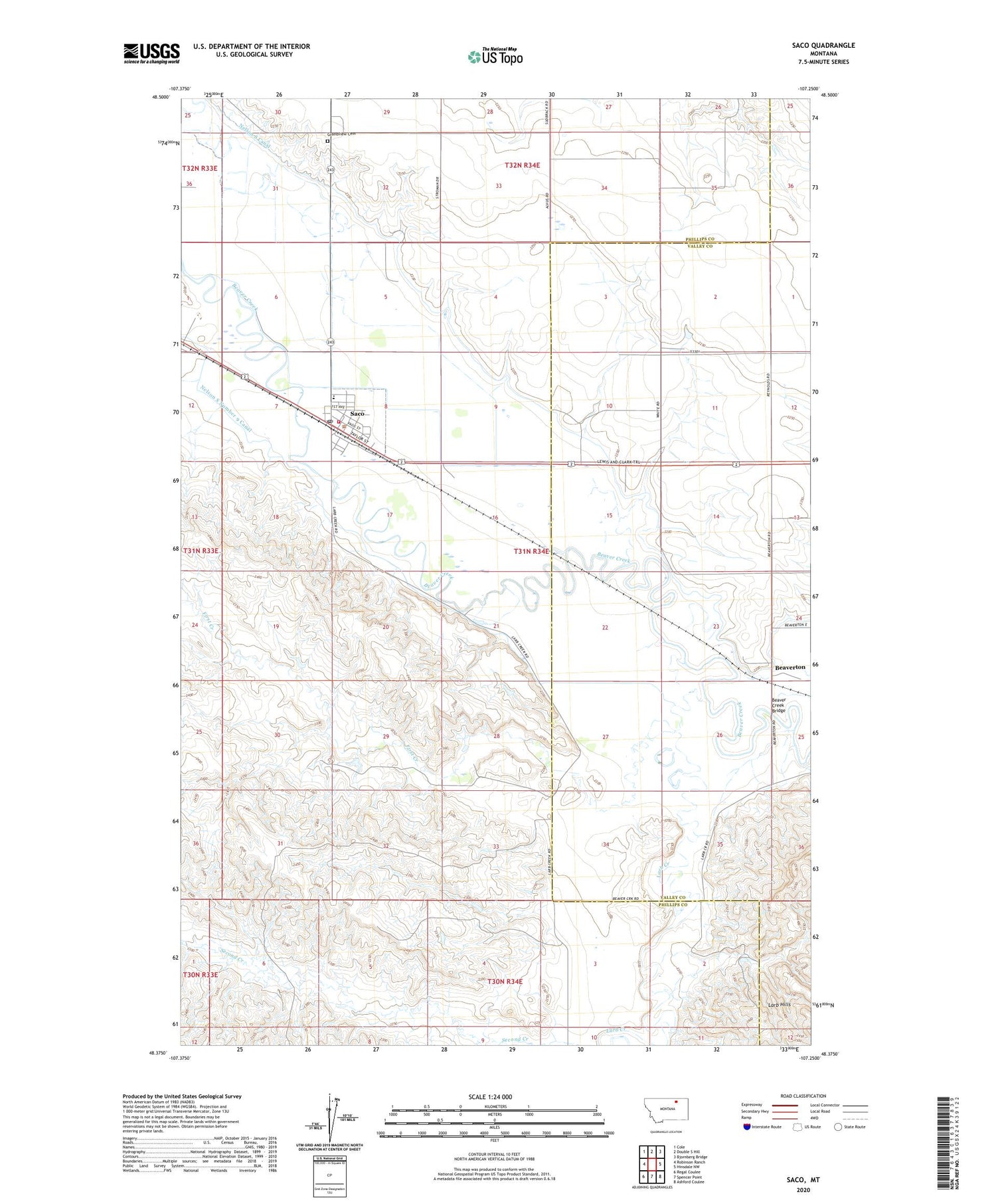
2020 topographic map quadrangle Saco in the state of Montana. Scale: 1:24000. Based on the newly updated USGS 7.5' US Topo map series, this map is in the following counties: Phillips, Valley. The map contains contour data, water features, and other items you are used to seeing on USGS maps, but also has updated roads and other features. This is the next generation of topographic maps. Printed on high-quality waterproof paper with UV fade-resistant inks.
Quads adjacent to this one:
West: Robinson Ranch
Northwest: Cole
North: Double S Hill
Northeast: Bjornberg Bridge
East: Hinsdale NW
Southeast: Ashford Coulee
South: Spencer Point
Southwest: Regal Coulee
Contains the following named places: 31N34E08CA__01 Well, 32N34E29CCC_01 Well, 32N34E29CCCD01 Well, 32N34E33BAA_01 Well, Assembly of God Church, Beaver Creek Bridge, Beaverton, Beaverton Post Office, Beaverton School, First Creek, Grandview Cemetery, Kyle's Ranch, Larb Creek, Pierson's Ranch, Saco, Saco Branch Library, Saco Dehy Incorporated Elevator, Saco Lutheran Church, Saco Methodist Church, Saco Post Office, Saco Public Schools, Saco Volunteer Fire Company, Saint Francis Assisi Church, Second Creek, Taylor's Ranch, Town of Saco