MyTopo
Ashford Coulee Montana US Topo Map
Couldn't load pickup availability
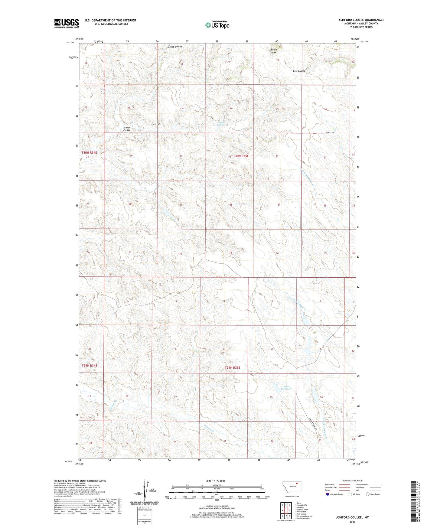
2024 topographic map quadrangle Ashford Coulee in the state of Montana. Scale: 1:24000. Based on the newly updated USGS 7.5' US Topo map series, this map is in the following counties: Valley. The map contains contour data, water features, and other items you are used to seeing on USGS maps, but also has updated roads and other features. This is the next generation of topographic maps. Printed on high-quality waterproof paper with UV fade-resistant inks.
Quads adjacent to this one:
West: Spencer Point
Northwest: Saco
North: Hinsdale NW
Northeast: Hinsdale
East: Hinsdale SE
Southeast: Hardpan Coulee
South: Christmas Reservoir
Southwest: Flat Coulee
This map covers the same area as the classic USGS quad with code o48107c2.
Contains the following named places: 29N35E09DB__01 Well, Ashford Coulee, Ashford Spring, Barnard Dam, Bear Tracks Reservoir, Luther Reservoir, Steen School