MyTopo
Sahara Hill SE Montana US Topo Map
Couldn't load pickup availability
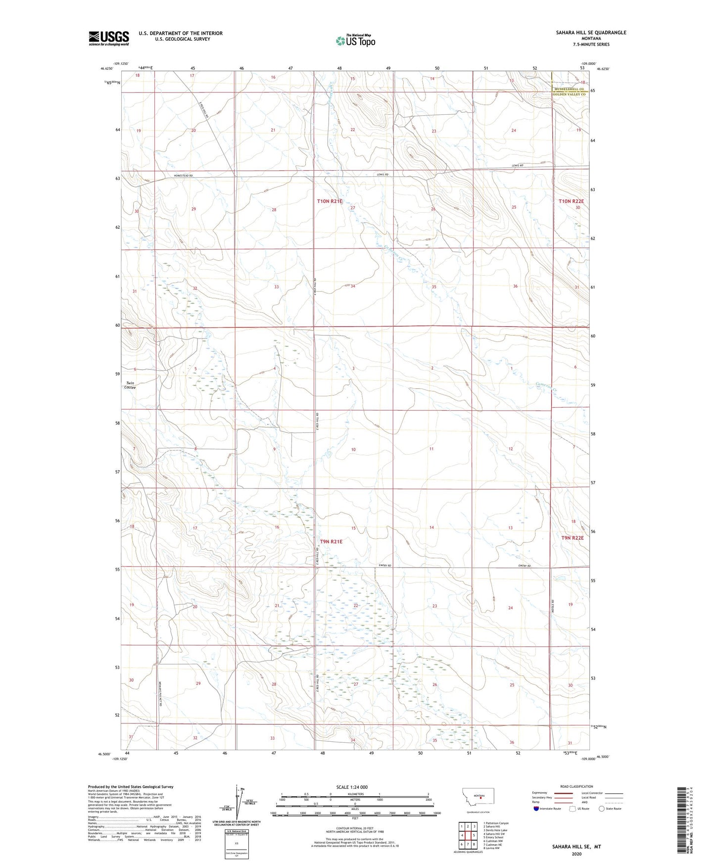
2024 topographic map quadrangle Sahara Hill SE in the state of Montana. Scale: 1:24000. Based on the newly updated USGS 7.5' US Topo map series, this map is in the following counties: Golden Valley, Musselshell. The map contains contour data, water features, and other items you are used to seeing on USGS maps, but also has updated roads and other features. This is the next generation of topographic maps. Printed on high-quality waterproof paper with UV fade-resistant inks.
Quads adjacent to this one:
West: Sahara Hill SW
Northwest: Patterson Canyon
North: Sahara Hill
Northeast: Devils Hole Lake
East: Emory School
Southeast: Lavina NW
South: Cushman NE
Southwest: Cushman NW
This map covers the same area as the classic USGS quad with code o46109e1.
Contains the following named places: 09N21E07AAAA01 Well, 09N21E09C___01 Well, 09N21E24C___01 Well, 09N21E27B___01 Well, Glendale Post Office